Distance between  Orbost and
  Rosedale
163.19 mi Straight Distance
234.27 mi Driving Distance
4 hours 6 mins Estimated Driving Time
The straight distance between Orbost (Victoria) and Rosedale (New South Wales) is 163.19 mi, but the driving distance is 234.27 mi.
It takes 2 hours 12 mins to go from Orbost to Rosedale.
Driving directions from Orbost to Rosedale
Distance in kilometers
Straight distance: 262.57 km. Route distance: 376.93 km
Orbost, Australia
Latitude: -37.7072 // Longitude: 148.455
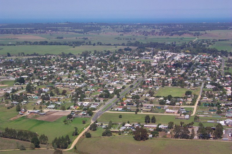
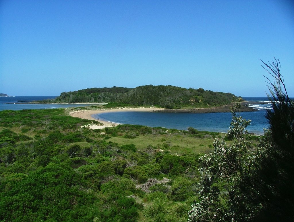
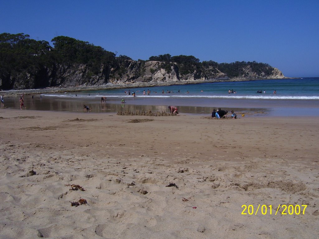
Photos of Orbost
Orbost Weather

Predicción: Broken clouds
Temperatura: 16.0°
Humedad: 75%
Hora actual: 04:53 PM
Amanece: 06:35 AM
Anochece: 05:35 PM
Rosedale, Australia
Latitude: -35.8164 // Longitude: 150.222
Photos of Rosedale
Rosedale Weather

Predicción: Few clouds
Temperatura: 17.6°
Humedad: 72%
Hora actual: 04:53 PM
Amanece: 06:26 AM
Anochece: 05:30 PM


