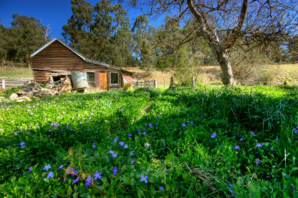
Distance between  Orbost and
  Dargo
Dargo
68.08 mi Straight Distance
111.05 mi Driving Distance
1 hour 59 mins Estimated Driving Time
The straight distance between Orbost (Victoria) and Dargo (Victoria) is 68.08 mi, but the driving distance is 111.05 mi.
It takes 2 hours 25 mins to go from Orbost to Dargo.
Driving directions from Orbost to Dargo
Distance in kilometers
Straight distance: 109.54 km. Route distance: 178.68 km
Orbost, Australia
Latitude: -37.7072 // Longitude: 148.455
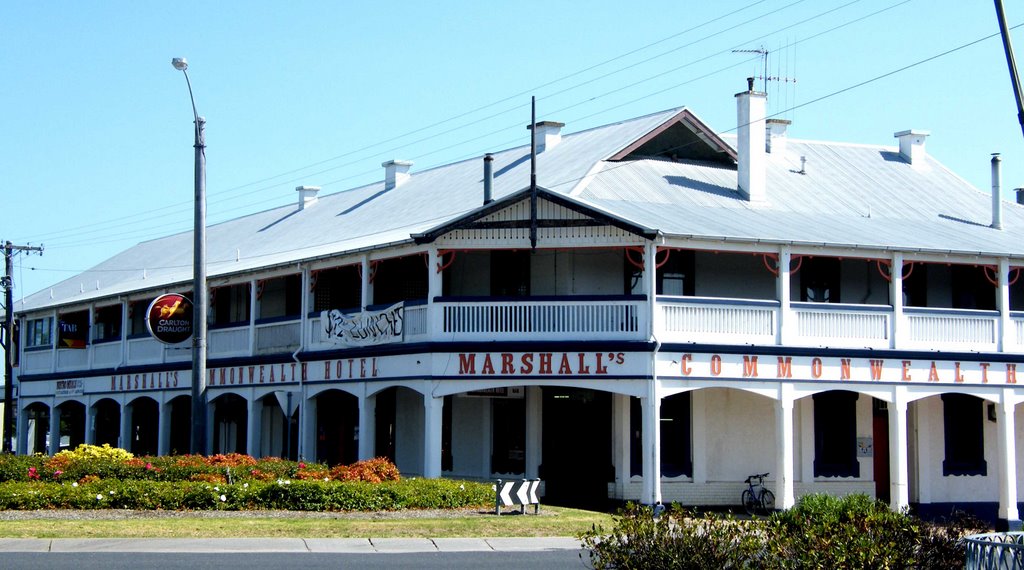
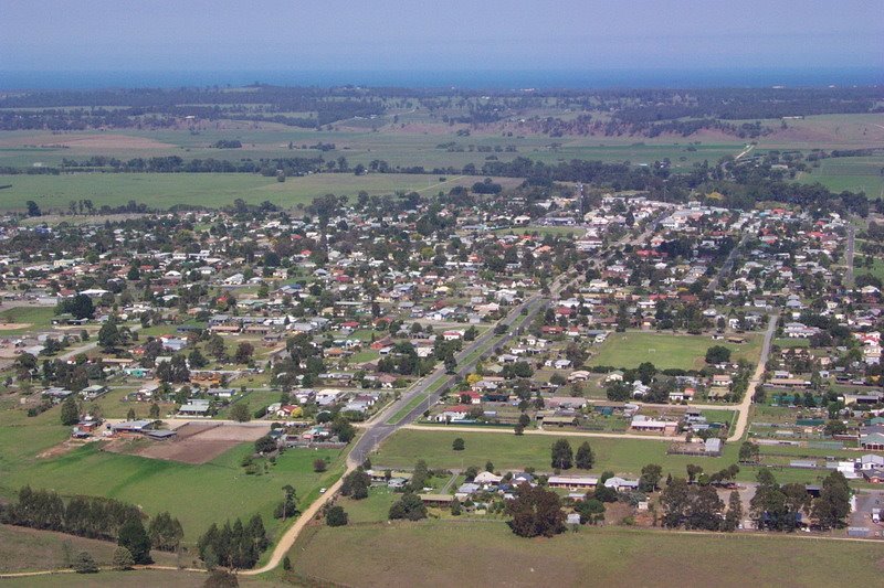
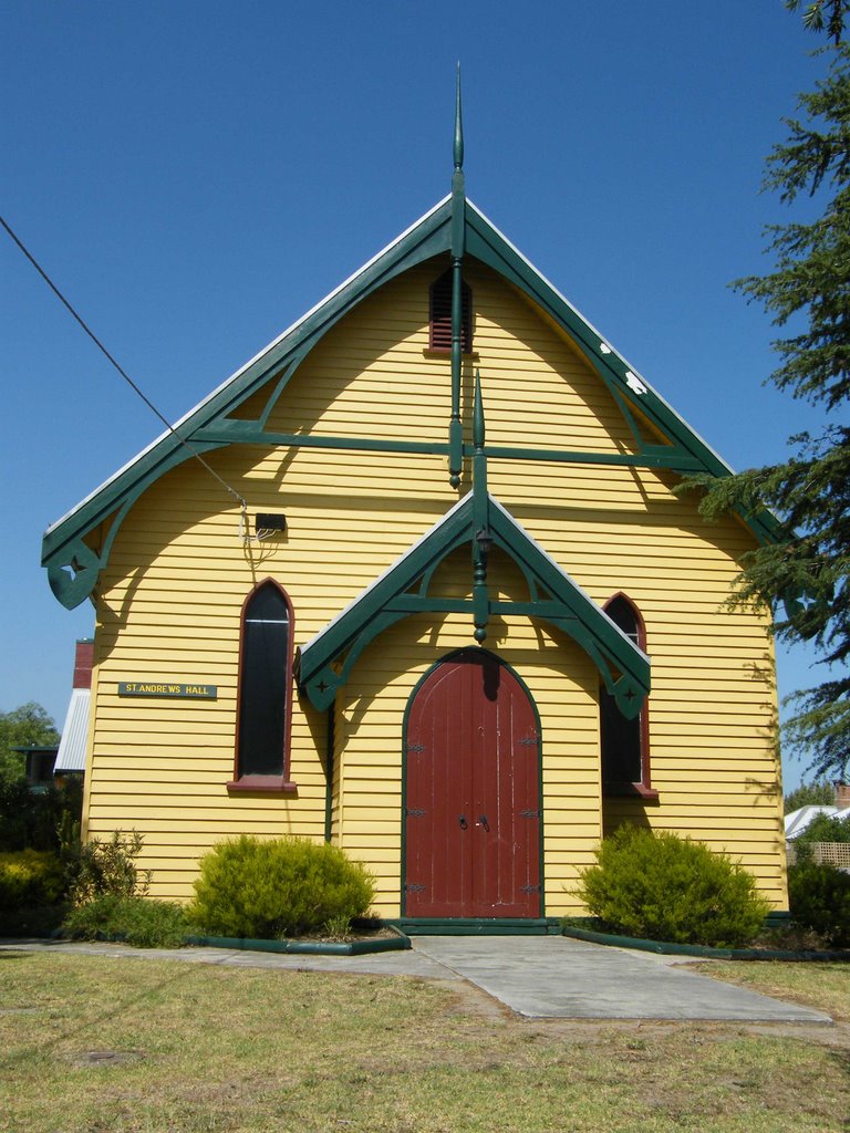
Photos of Orbost
Orbost Weather

Predicción: Scattered clouds
Temperatura: 12.1°
Humedad: 91%
Hora actual: 06:04 AM
Amanece: 06:36 AM
Anochece: 05:34 PM
Dargo, Australia
Latitude: -37.4612 // Longitude: 147.251
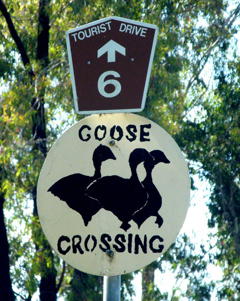
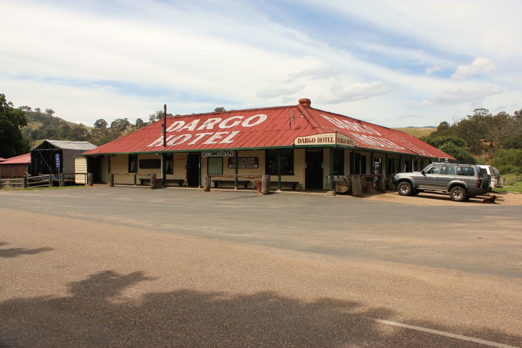
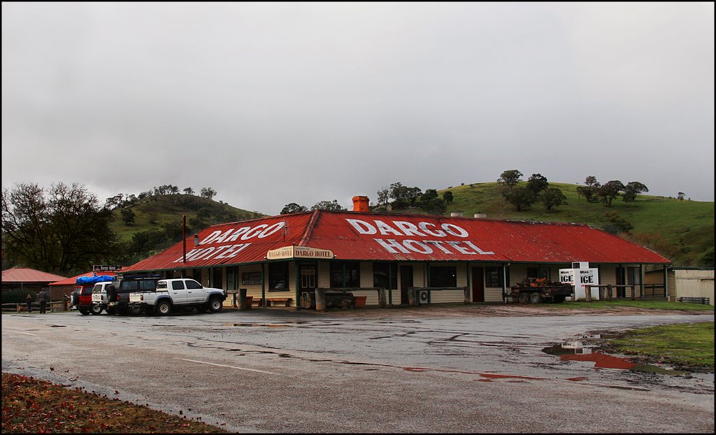
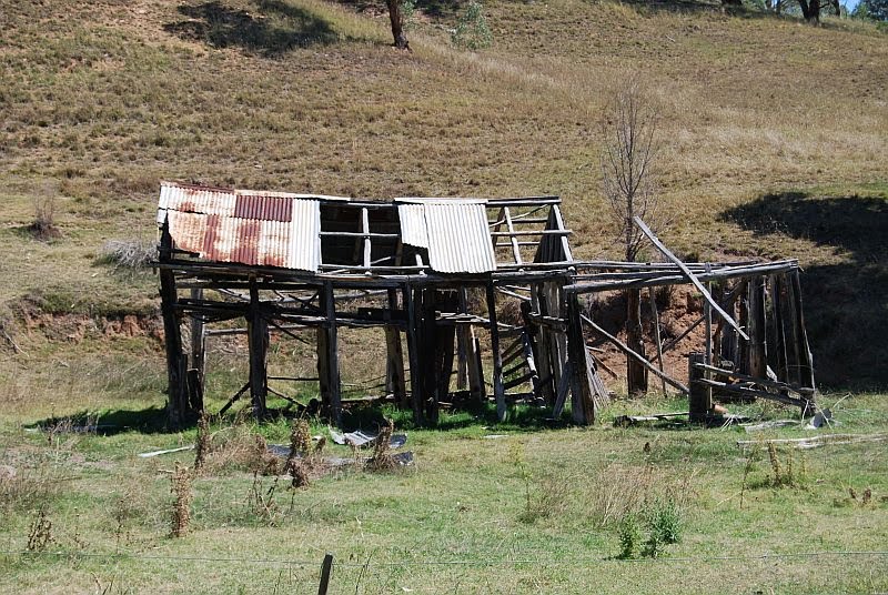
Photos of Dargo
Dargo Weather

Predicción: Overcast clouds
Temperatura: 9.4°
Humedad: 98%
Hora actual: 10:00 AM
Amanece: 06:41 AM
Anochece: 05:39 PM


