Distance between  Oombulgurri and
  Lake Clifton
1,437.30 mi Straight Distance
2,140.89 mi Driving Distance
1 day 20 hours Estimated Driving Time
The straight distance between Oombulgurri (Western Australia) and Lake Clifton (Western Australia) is 1,437.30 mi, but the driving distance is 2,140.89 mi.
It takes to go from Oombulgurri to Lake Clifton.
Driving directions from Oombulgurri to Lake Clifton
Distance in kilometers
Straight distance: 2,312.62 km. Route distance: 3,444.70 km
Oombulgurri, Australia
Latitude: -15.1804 // Longitude: 127.845
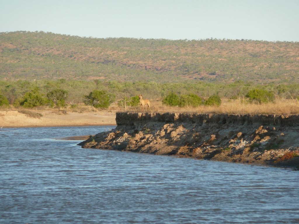
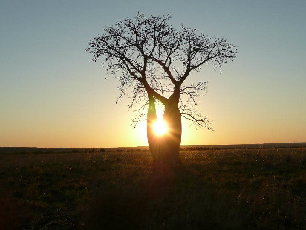
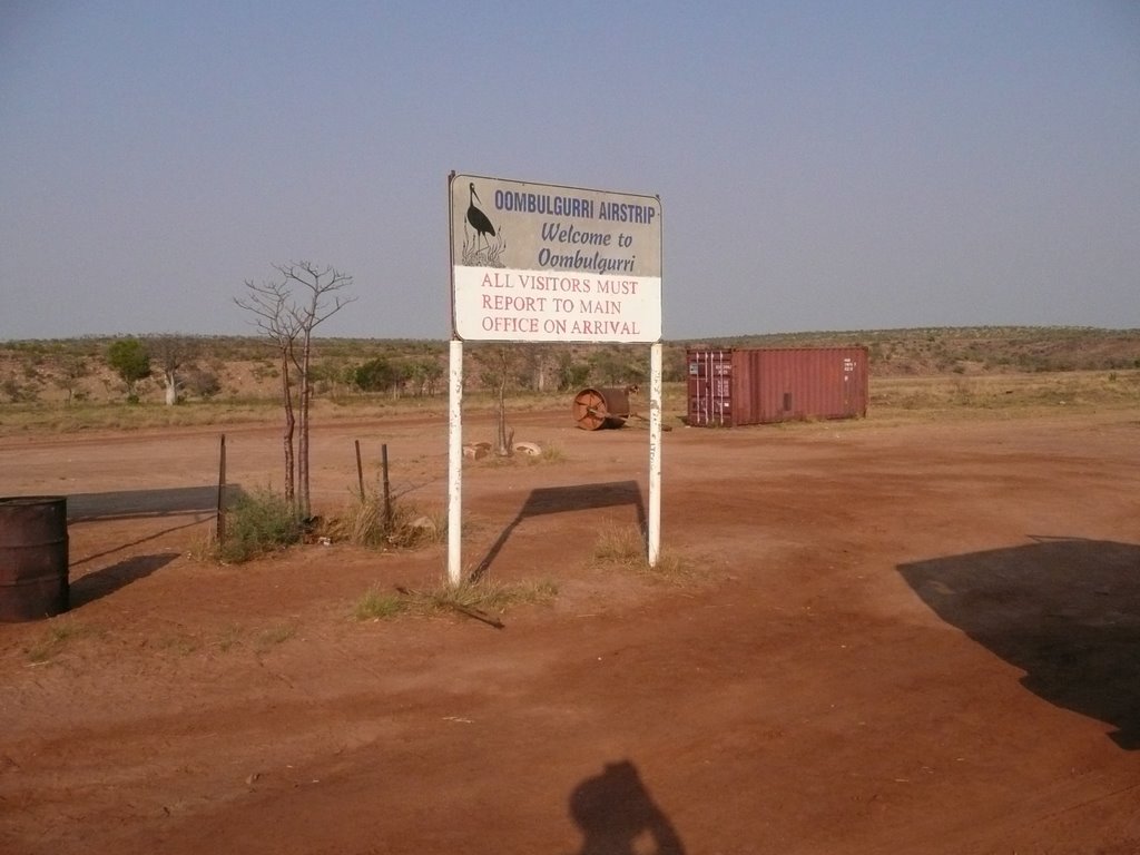
Photos of Oombulgurri
Oombulgurri Weather

Predicción: Scattered clouds
Temperatura: 34.8°
Humedad: 27%
Hora actual: 02:51 PM
Amanece: 05:36 AM
Anochece: 05:20 PM
Lake Clifton, Australia
Latitude: -32.8141 // Longitude: 115.684
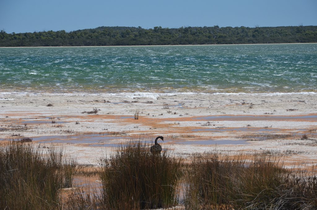
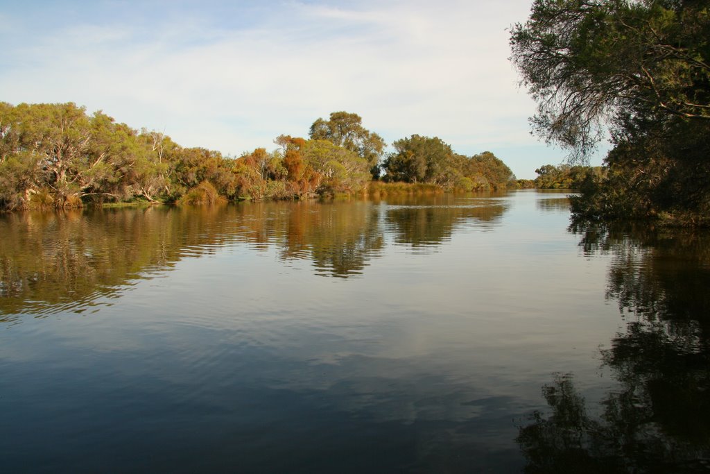
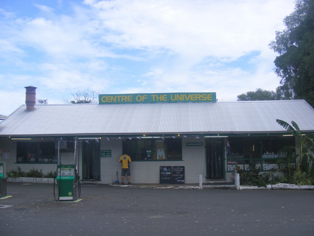
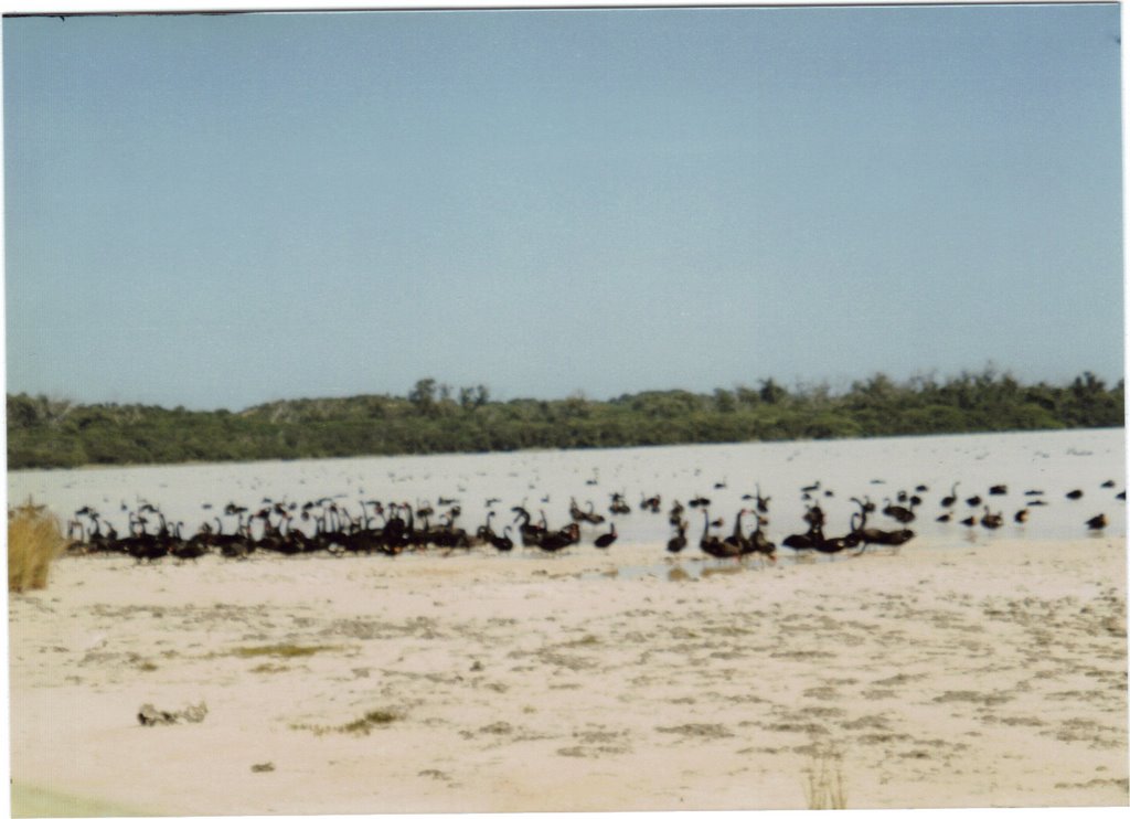
Photos of Lake Clifton
Lake Clifton Weather

Predicción: Clear sky
Temperatura: 25.9°
Humedad: 45%
Hora actual: 02:51 PM
Amanece: 06:39 AM
Anochece: 05:54 PM


