Distance between  Onslow and
  Nullagine
321.03 mi Straight Distance
506.91 mi Driving Distance
9 hours 27 mins Estimated Driving Time
The straight distance between Onslow (Western Australia) and Nullagine (Western Australia) is 321.03 mi, but the driving distance is 506.91 mi.
It takes 9 hours 31 mins to go from Onslow to Nullagine.
Driving directions from Onslow to Nullagine
Distance in kilometers
Straight distance: 516.54 km. Route distance: 815.61 km
Onslow, Australia
Latitude: -21.6378 // Longitude: 115.113
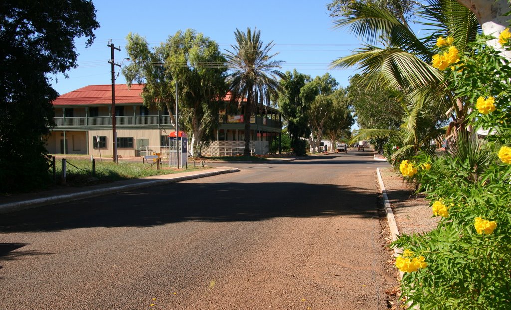
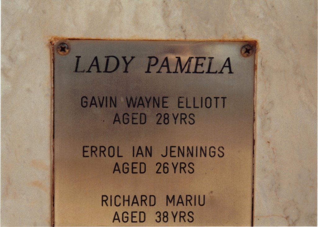
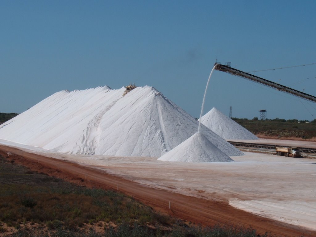
Photos of Onslow
Onslow Weather

Predicción: Overcast clouds
Temperatura: 28.2°
Humedad: 28%
Hora actual: 09:09 AM
Amanece: 06:33 AM
Anochece: 06:03 PM
Nullagine, Australia
Latitude: -21.886 // Longitude: 120.109
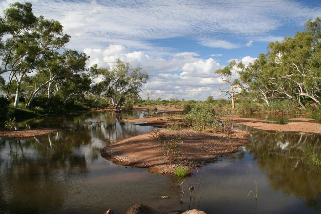
Photos of Nullagine
Nullagine Weather

Predicción: Clear sky
Temperatura: 24.1°
Humedad: 24%
Hora actual: 09:09 AM
Amanece: 06:13 AM
Anochece: 05:43 PM


