Distance between  Nundle and
  Kundabung
102.33 mi Straight Distance
179.91 mi Driving Distance
4 hours 4 mins Estimated Driving Time
The straight distance between Nundle (New South Wales) and Kundabung (New South Wales) is 102.33 mi, but the driving distance is 179.91 mi.
It takes to go from Nundle to Kundabung.
Driving directions from Nundle to Kundabung
Distance in kilometers
Straight distance: 164.65 km. Route distance: 289.47 km
Nundle, Australia
Latitude: -31.4658 // Longitude: 151.126
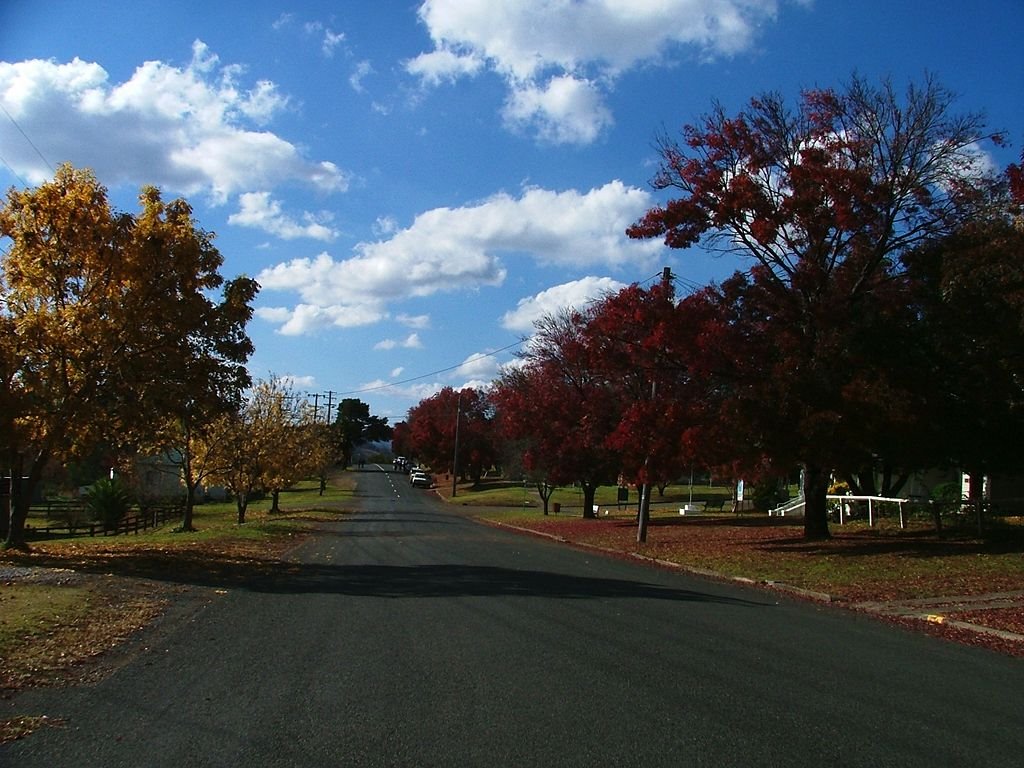
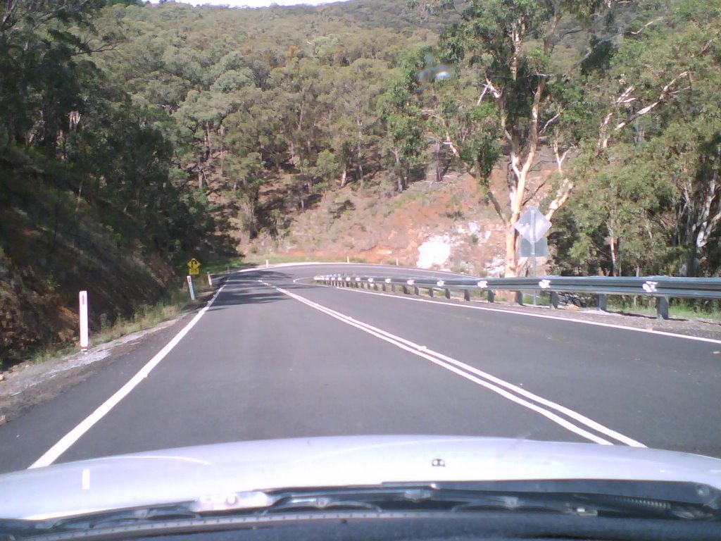
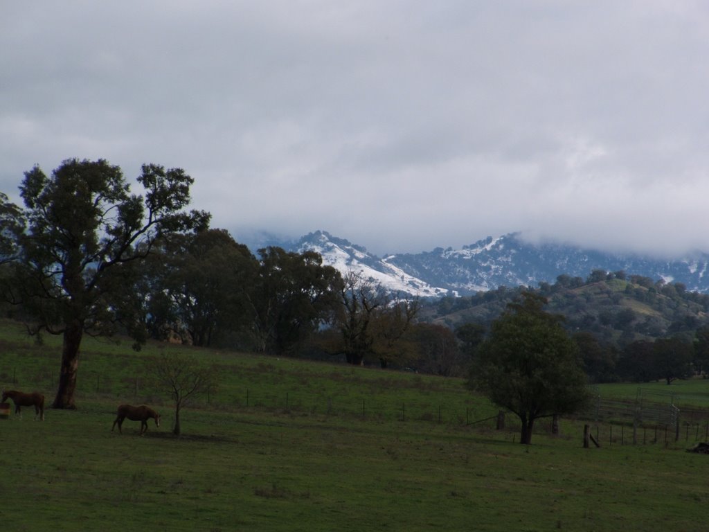
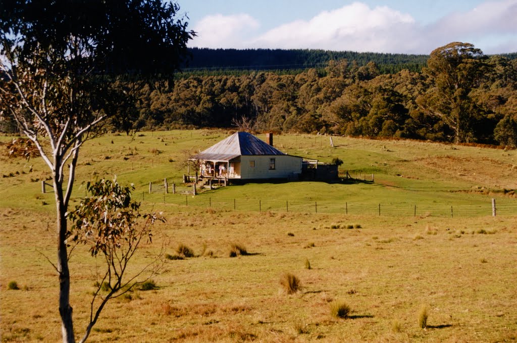
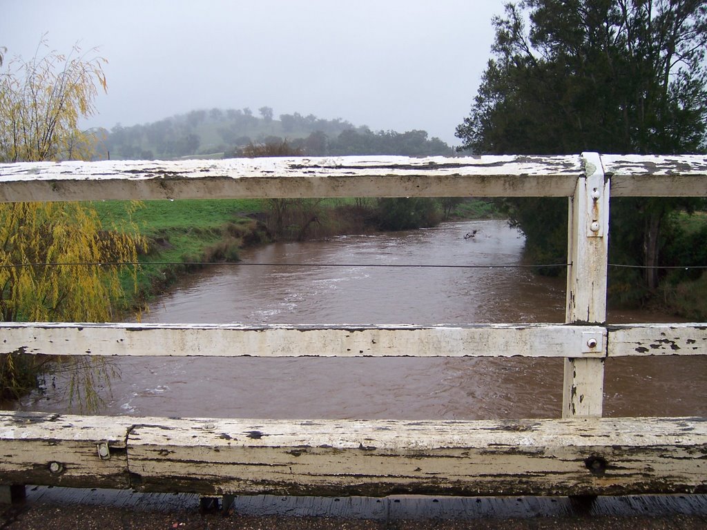
Photos of Nundle
Nundle Weather

Predicción: Clear sky
Temperatura: 12.5°
Humedad: 93%
Hora actual: 04:16 AM
Amanece: 06:17 AM
Anochece: 05:32 PM
Kundabung, Australia
Latitude: -31.2103 // Longitude: 152.834
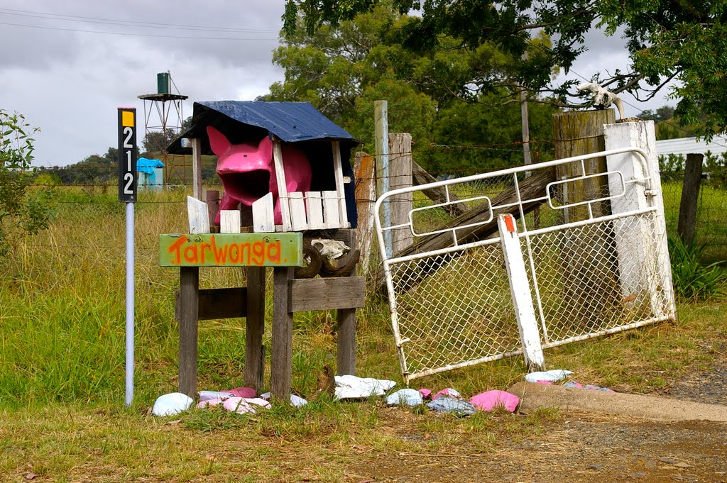
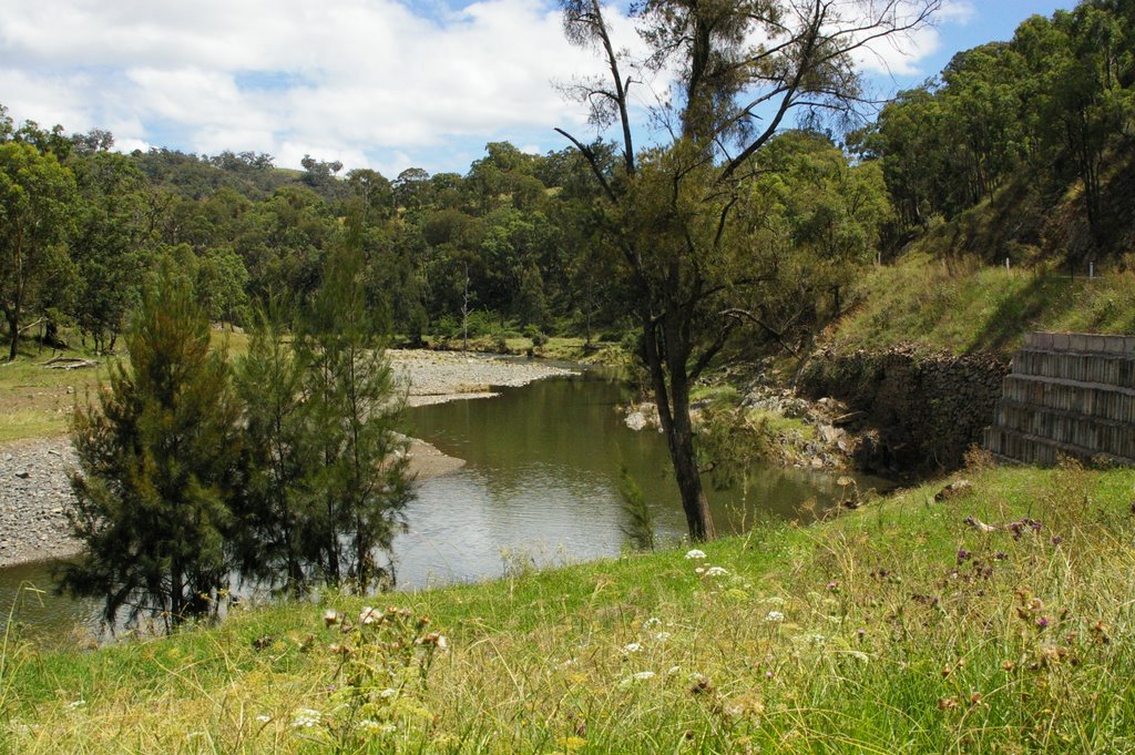
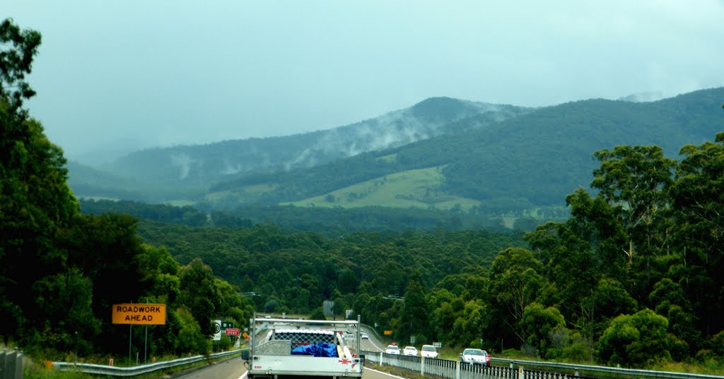
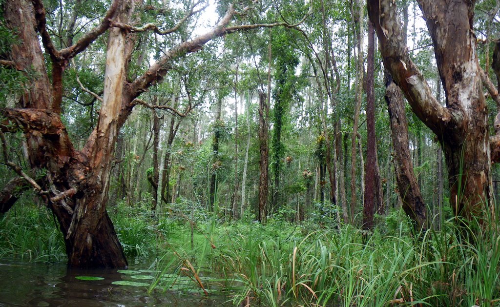
Photos of Kundabung
Kundabung Weather

Predicción: Clear sky
Temperatura: 15.4°
Humedad: 96%
Hora actual: 04:16 AM
Amanece: 06:10 AM
Anochece: 05:26 PM


