Distance between  Nullawil and
  Mininera
121.65 mi Straight Distance
139.53 mi Driving Distance
2 hours 31 mins Estimated Driving Time
The straight distance between Nullawil (Victoria) and Mininera (Victoria) is 121.65 mi, but the driving distance is 139.53 mi.
It takes 2 hours 32 mins to go from Nullawil to Mininera.
Driving directions from Nullawil to Mininera
Distance in kilometers
Straight distance: 195.73 km. Route distance: 224.51 km
Nullawil, Australia
Latitude: -35.8527 // Longitude: 143.177
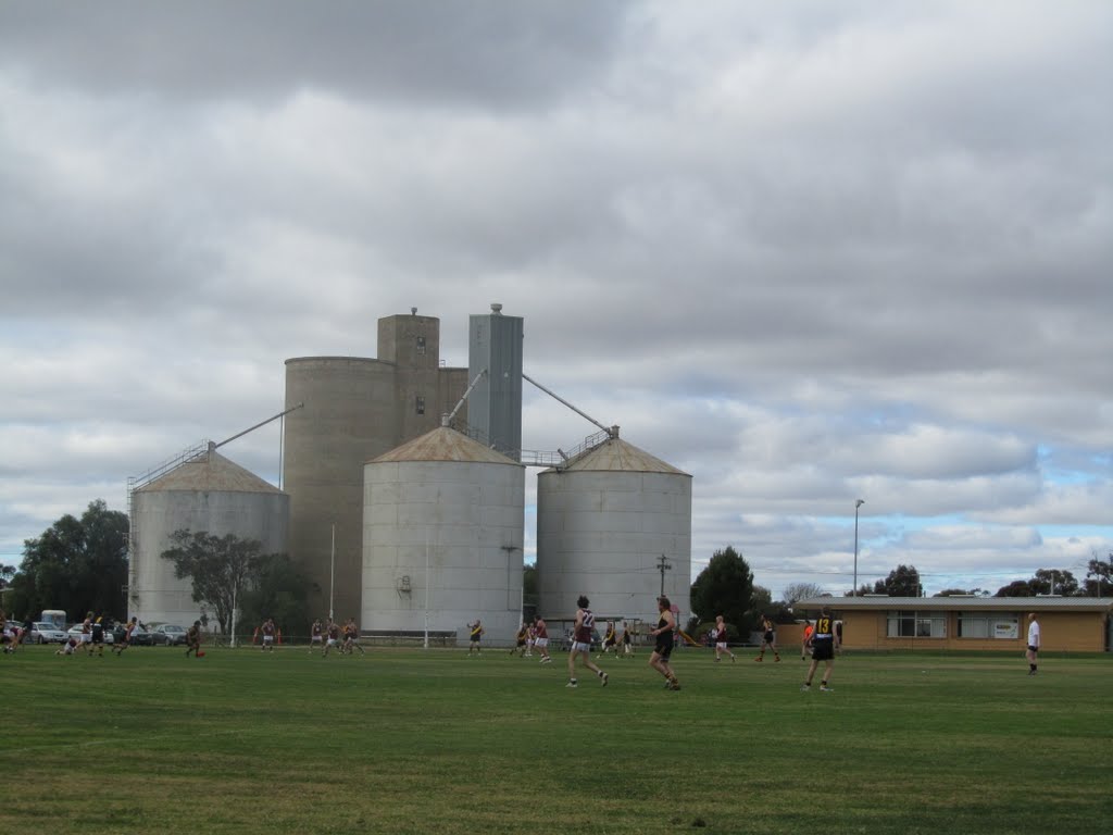
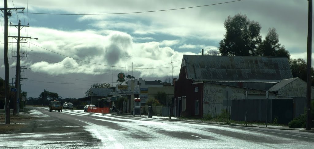
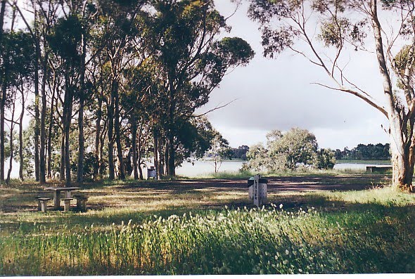
Photos of Nullawil
Nullawil Weather

Predicción: Clear sky
Temperatura: 11.3°
Humedad: 75%
Hora actual: 12:00 AM
Amanece: 08:54 PM
Anochece: 07:58 AM
Mininera, Australia
Latitude: -37.6044 // Longitude: 142.956
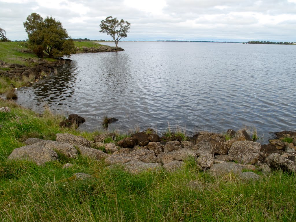
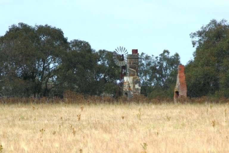
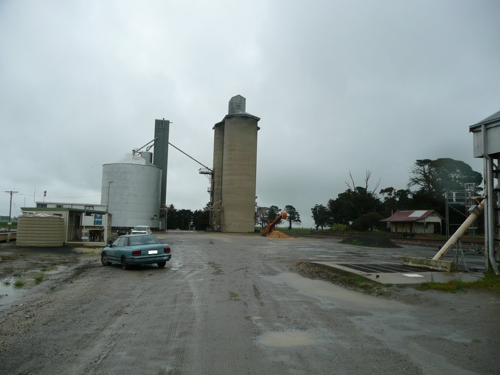
Photos of Mininera
Mininera Weather

Predicción: Overcast clouds
Temperatura: 10.3°
Humedad: 88%
Hora actual: 12:00 AM
Amanece: 08:57 PM
Anochece: 07:56 AM


