Distance between  Nullawarre and
  Warrimoo
547.12 mi Straight Distance
709.73 mi Driving Distance
11 hours 13 mins Estimated Driving Time
The straight distance between Nullawarre (Victoria) and Warrimoo (New South Wales) is 547.12 mi, but the driving distance is 709.73 mi.
It takes to go from Nullawarre to Warrimoo.
Driving directions from Nullawarre to Warrimoo
Distance in kilometers
Straight distance: 880.31 km. Route distance: 1,141.96 km
Nullawarre, Australia
Latitude: -38.4693 // Longitude: 142.75
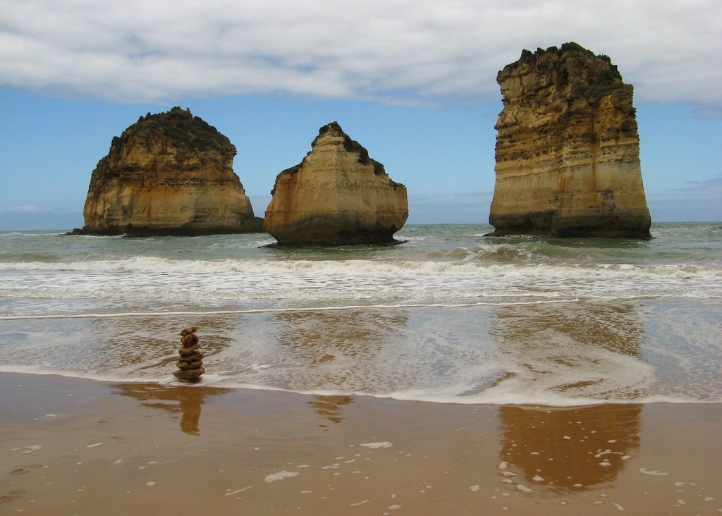
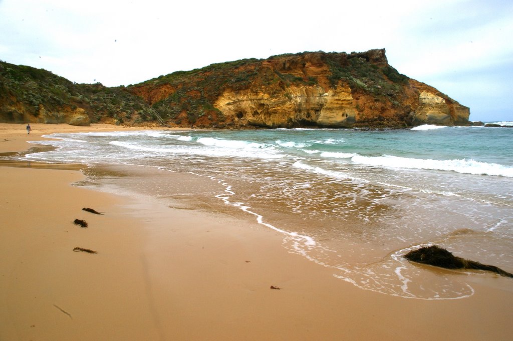
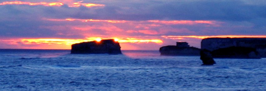
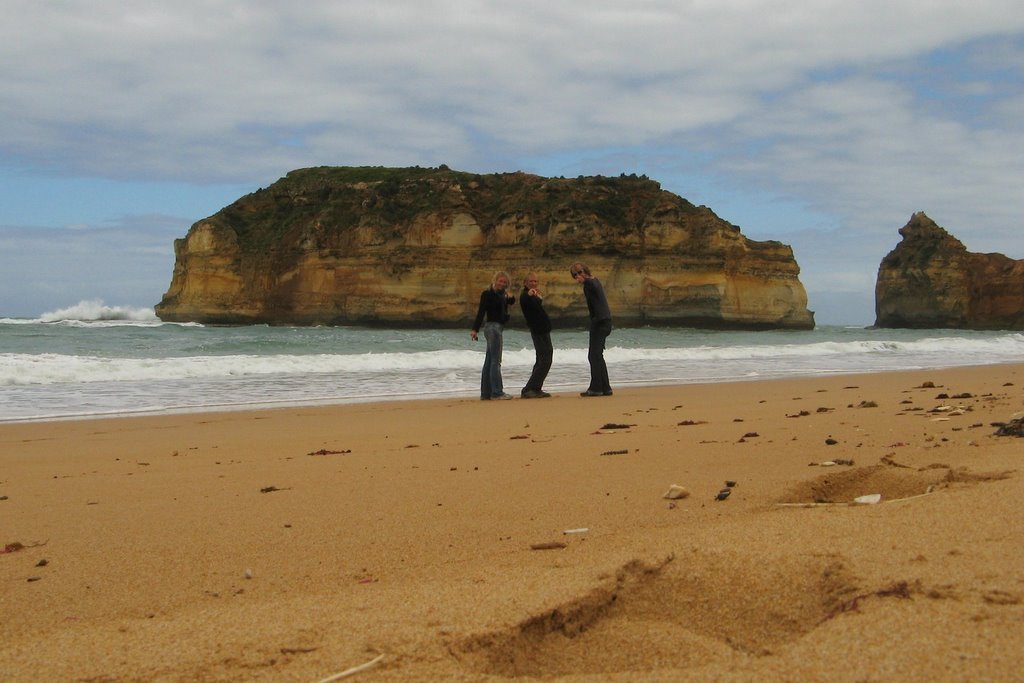
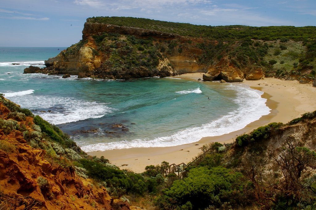
Photos of Nullawarre
Nullawarre Weather

Predicción: Light rain
Temperatura: 13.6°
Humedad: 95%
Hora actual: 12:00 AM
Amanece: 08:59 PM
Anochece: 07:56 AM
Warrimoo, Australia
Latitude: -33.7217 // Longitude: 150.601
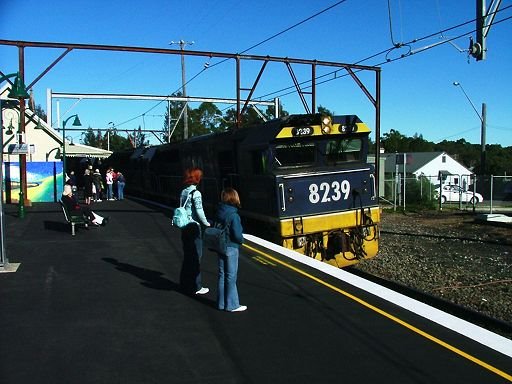
Photos of Warrimoo
Warrimoo Weather

Predicción: Scattered clouds
Temperatura: 18.2°
Humedad: 65%
Hora actual: 05:35 PM
Amanece: 06:22 AM
Anochece: 05:31 PM


