Distance between  Bomaderry and
  Innisfail
1,231.37 mi Straight Distance
1,554.22 mi Driving Distance
1 day 2 hours Estimated Driving Time
The straight distance between Bomaderry (New South Wales) and Innisfail (Queensland) is 1,231.37 mi, but the driving distance is 1,554.22 mi.
It takes 1 day 4 hours to go from Bomaderry to Innisfail.
Driving directions from Bomaderry to Innisfail
Distance in kilometers
Straight distance: 1,981.27 km. Route distance: 2,500.74 km
Bomaderry, Australia
Latitude: -34.8746 // Longitude: 150.603
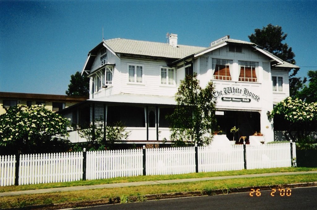
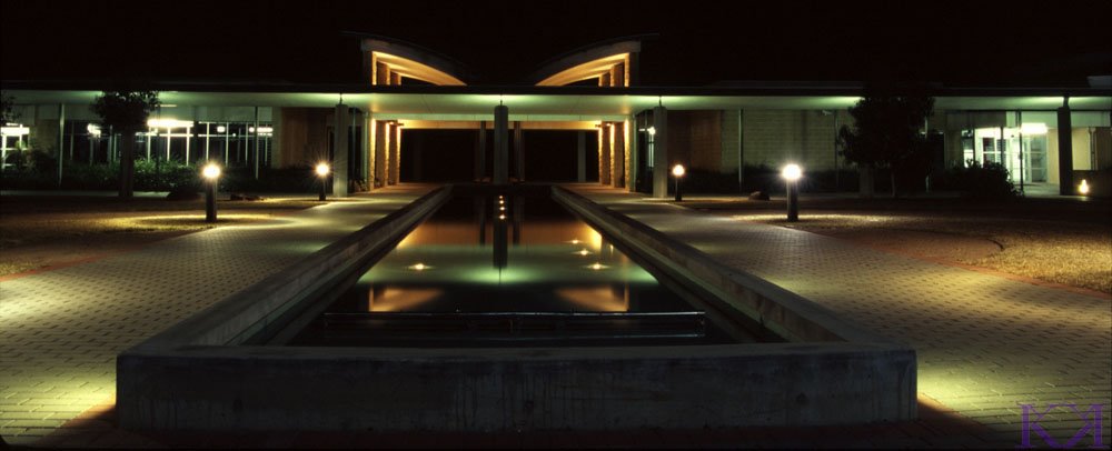
Photos of Bomaderry
Bomaderry Weather

Predicción: Broken clouds
Temperatura: 16.9°
Humedad: 87%
Hora actual: 06:17 PM
Amanece: 06:23 AM
Anochece: 05:30 PM
Innisfail, Australia
Latitude: -17.5247 // Longitude: 146.032
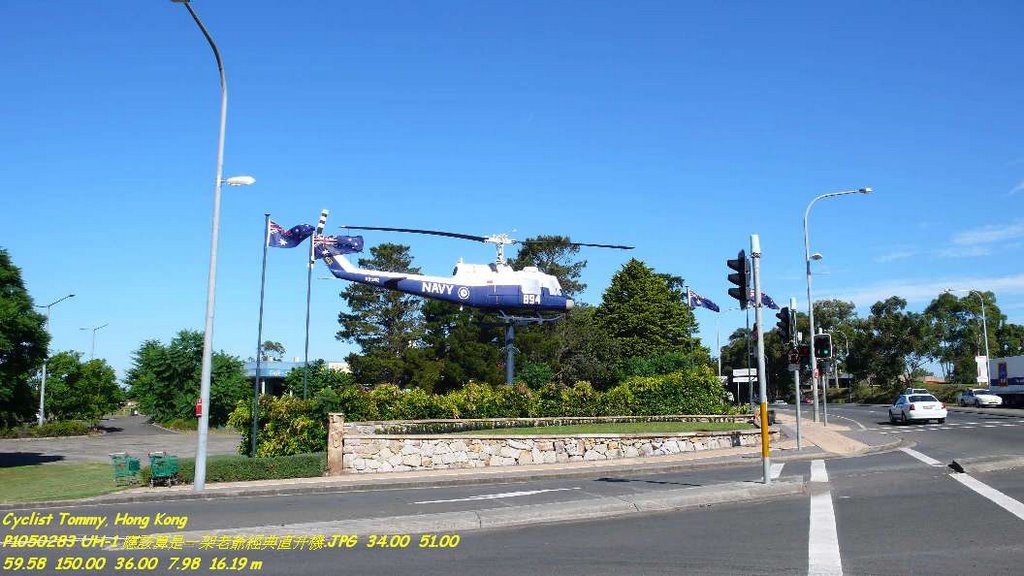
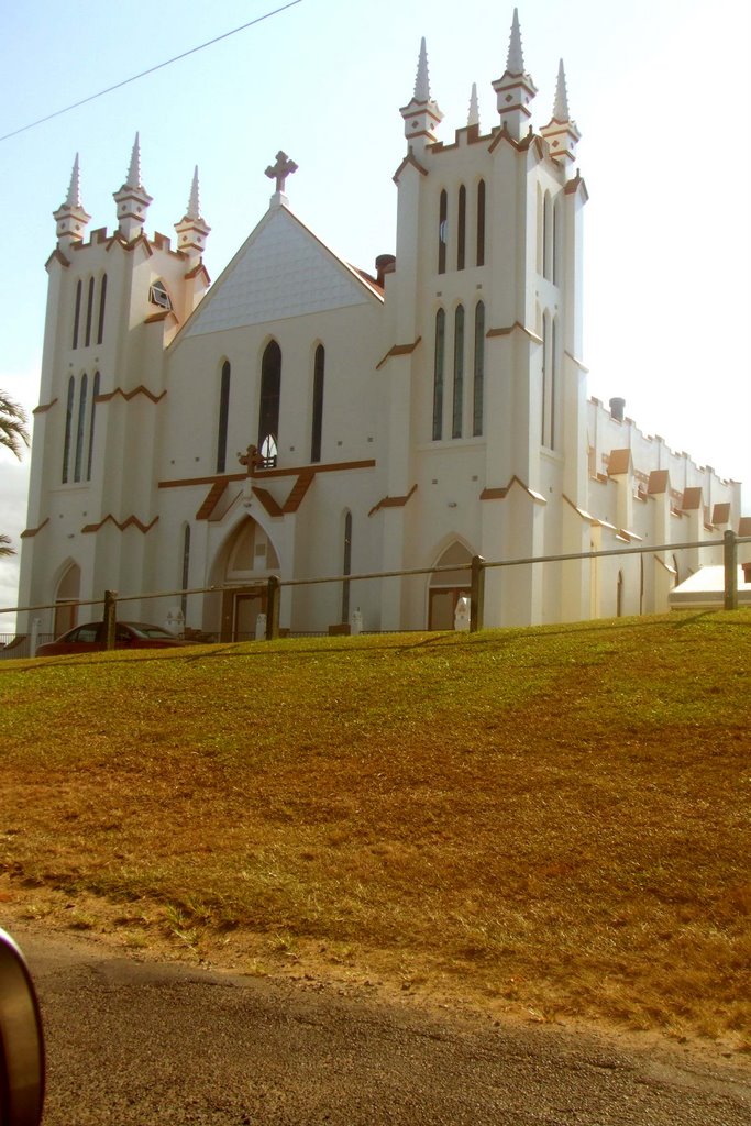
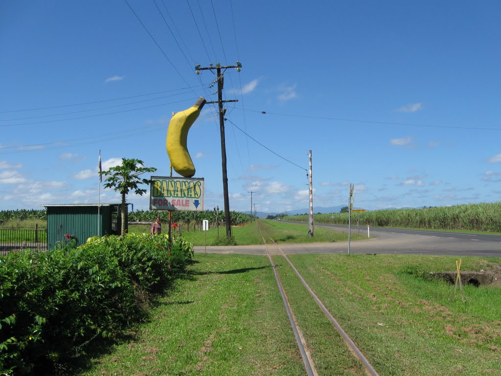
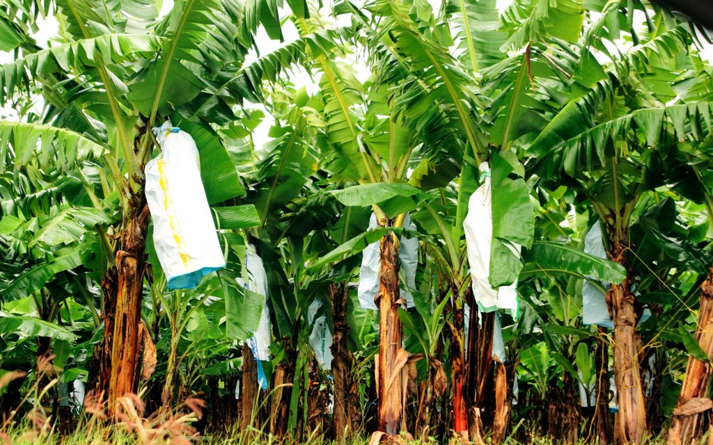
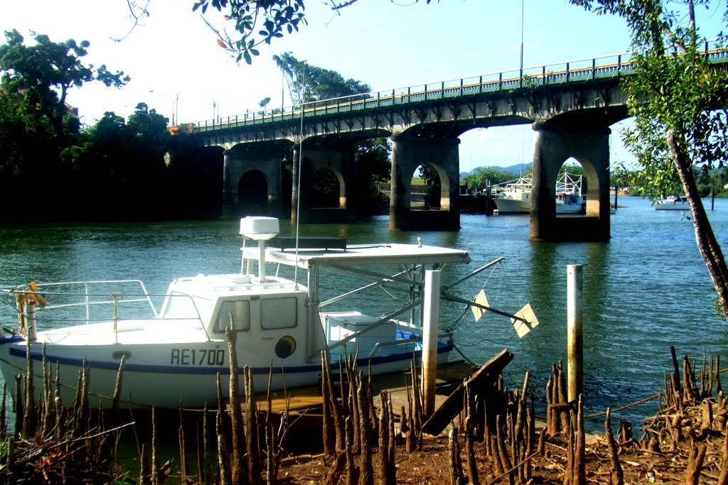
Photos of Innisfail
Innisfail Weather

Predicción: Overcast clouds
Temperatura: 24.6°
Humedad: 90%
Hora actual: 06:17 PM
Amanece: 06:25 AM
Anochece: 06:04 PM


