Distance between  Northam and
  Mt Burges
270.50 mi Straight Distance
292.64 mi Driving Distance
4 hours 28 mins Estimated Driving Time
The straight distance between Northam (Western Australia) and Mt Burges (Western Australia) is 270.50 mi, but the driving distance is 292.64 mi.
It takes to go from Northam to Mt Burges.
Driving directions from Northam to Mt Burges
Distance in kilometers
Straight distance: 435.24 km. Route distance: 470.85 km
Northam, Australia
Latitude: -31.6545 // Longitude: 116.671
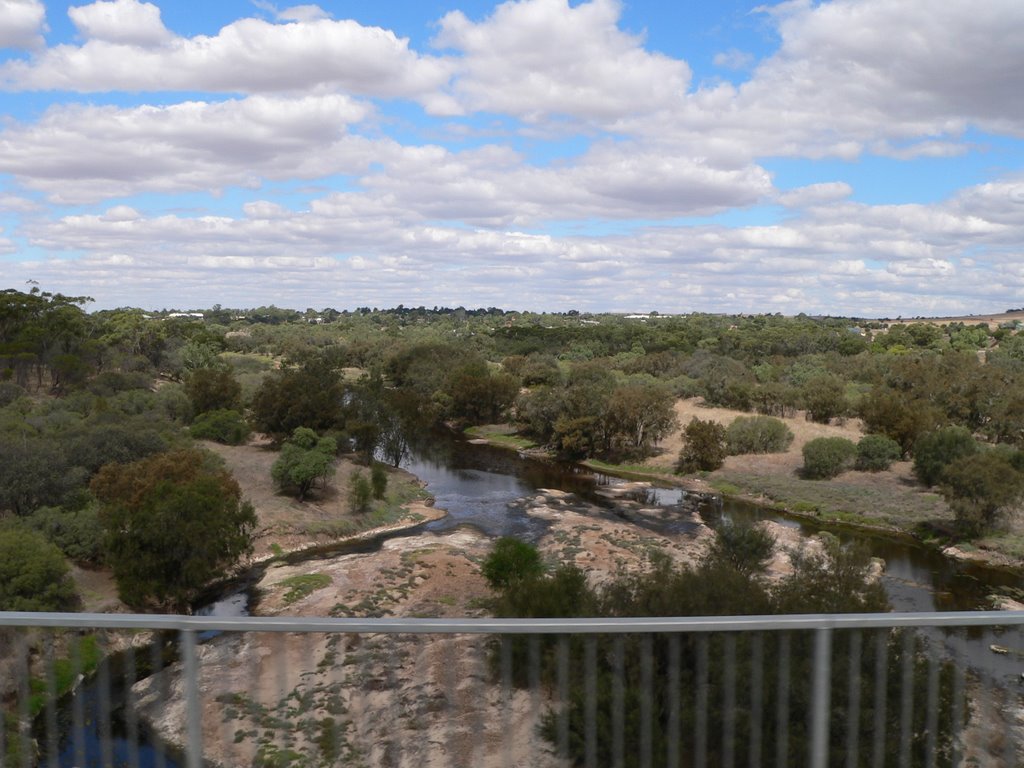
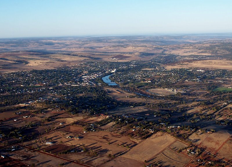
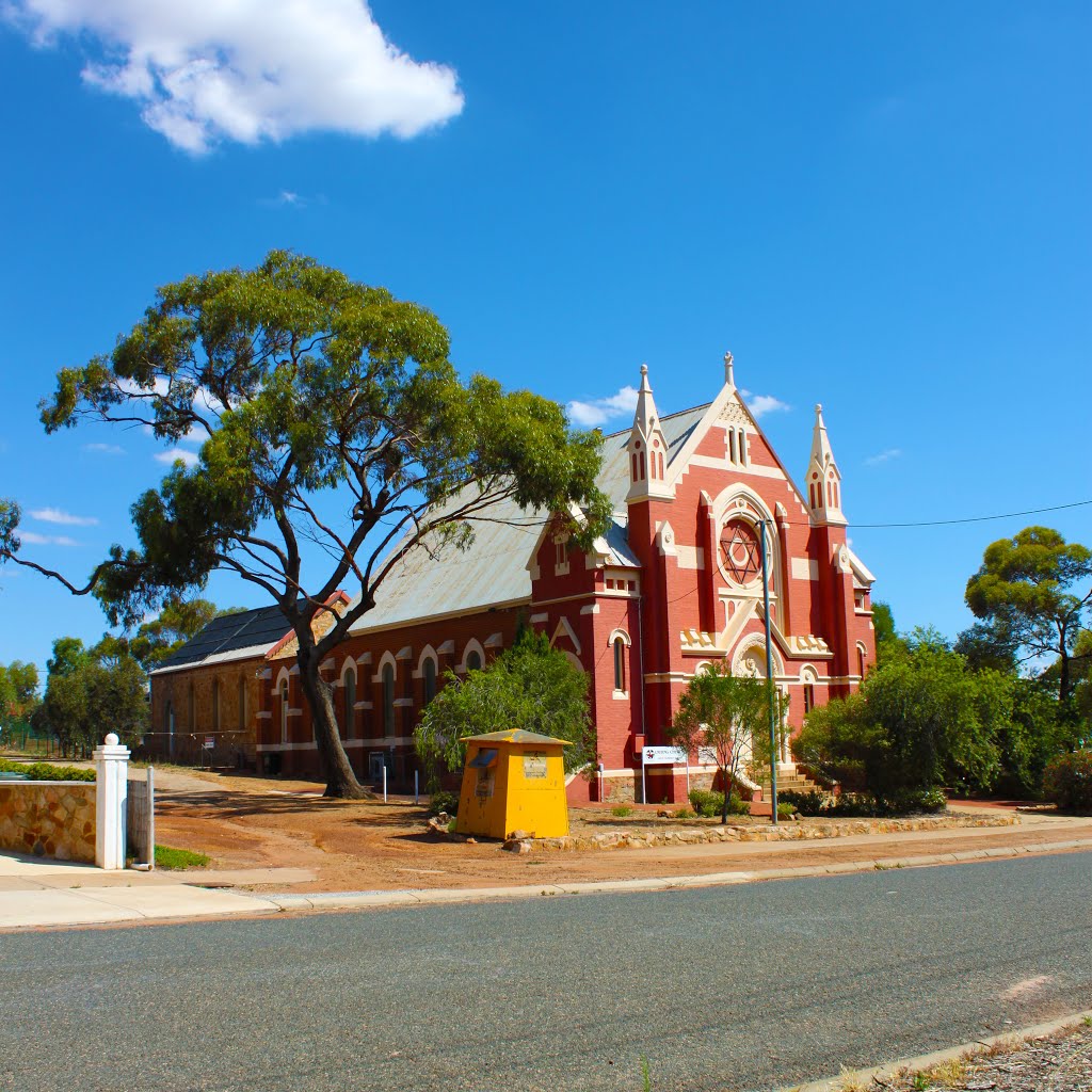
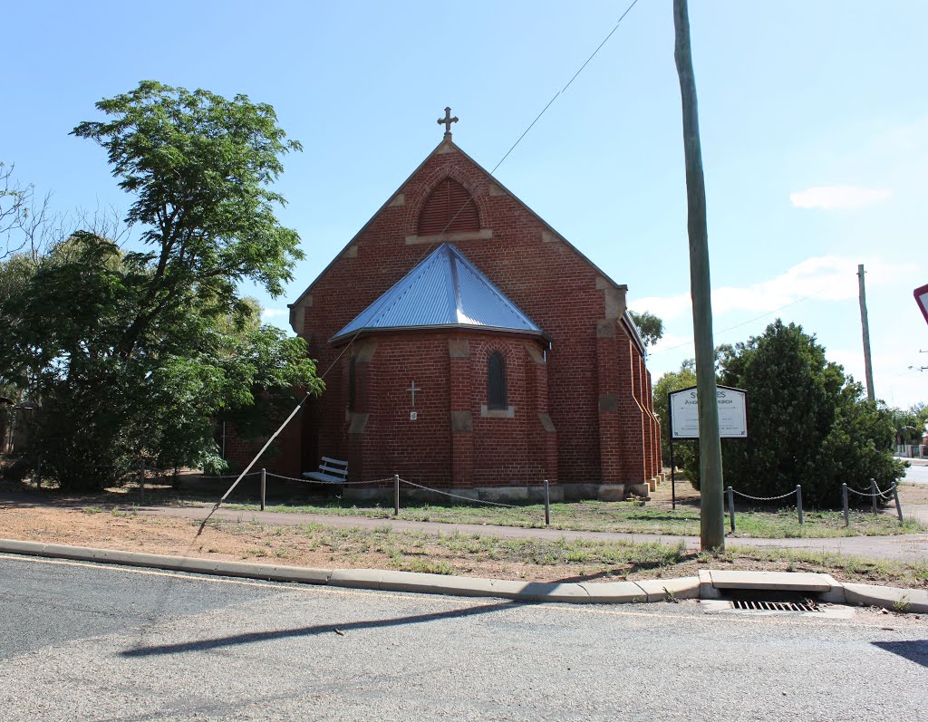
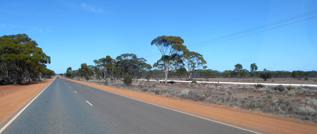
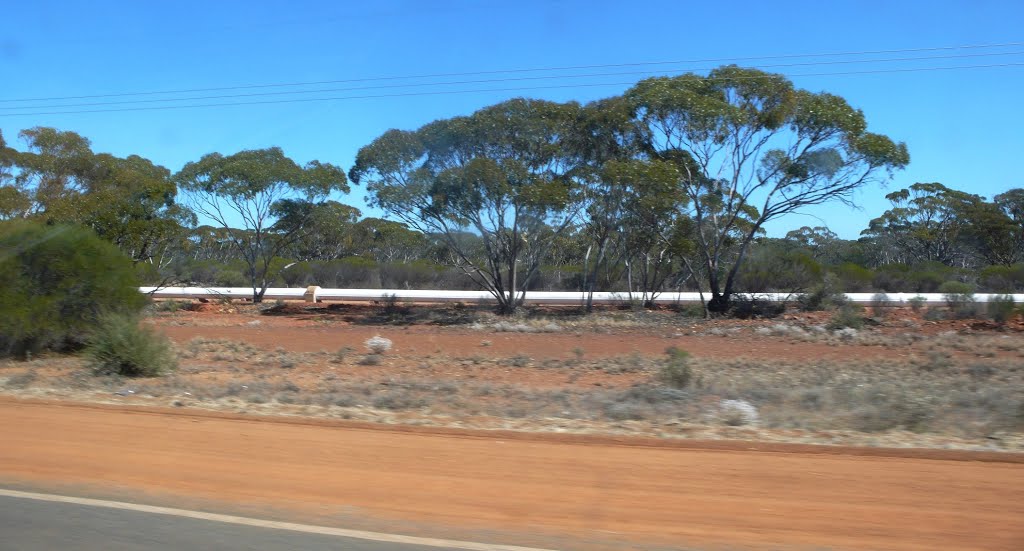
Photos of Northam
Northam Weather

Predicción: Clear sky
Temperatura: 13.8°
Humedad: 64%
Hora actual: 06:20 AM
Amanece: 06:35 AM
Anochece: 05:50 PM
Mt Burges, Australia
Latitude: -30.8418 // Longitude: 121.151
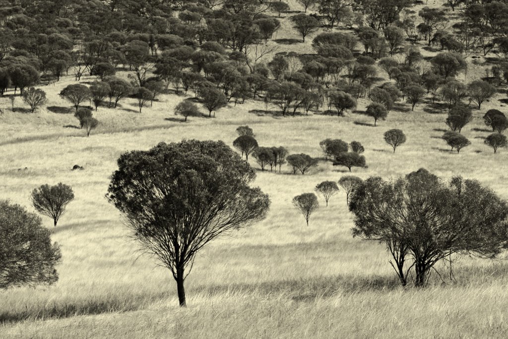
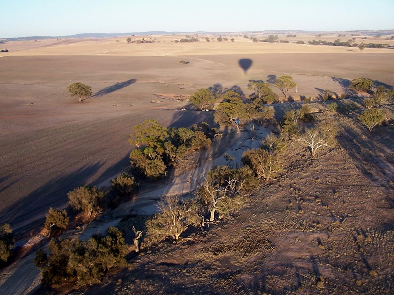
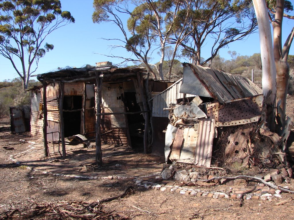
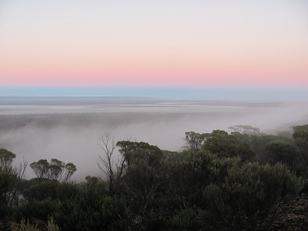
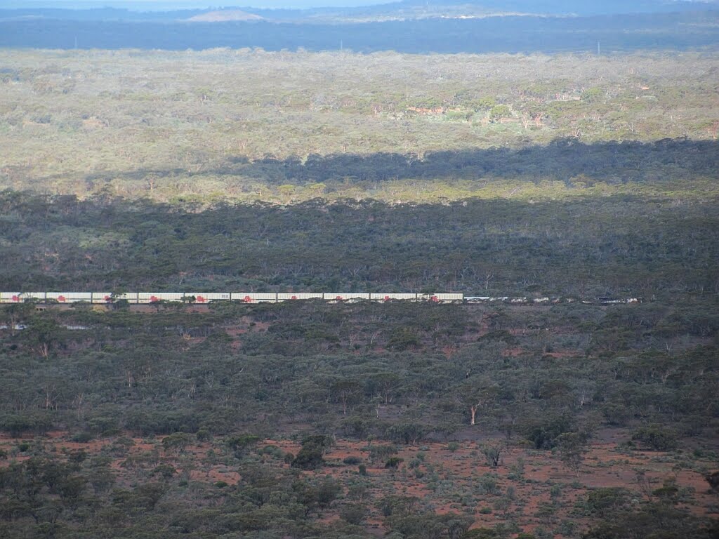
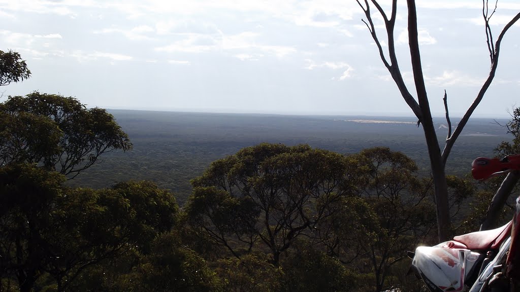
Photos of Mt Burges
Mt Burges Weather

Predicción: Clear sky
Temperatura: 12.9°
Humedad: 78%
Hora actual: 08:00 AM
Amanece: 06:16 AM
Anochece: 05:33 PM


