Distance between  Nhill and
  Croxton East
105.58 mi Straight Distance
139.28 mi Driving Distance
2 hours 27 mins Estimated Driving Time
The straight distance between Nhill (Victoria) and Croxton East (Victoria) is 105.58 mi, but the driving distance is 139.28 mi.
It takes to go from Nhill to Croxton East.
Driving directions from Nhill to Croxton East
Distance in kilometers
Straight distance: 169.87 km. Route distance: 224.11 km
Nhill, Australia
Latitude: -36.3325 // Longitude: 141.649
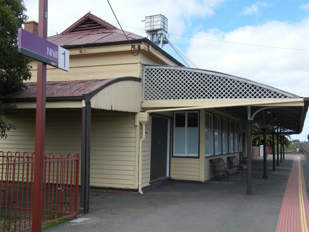
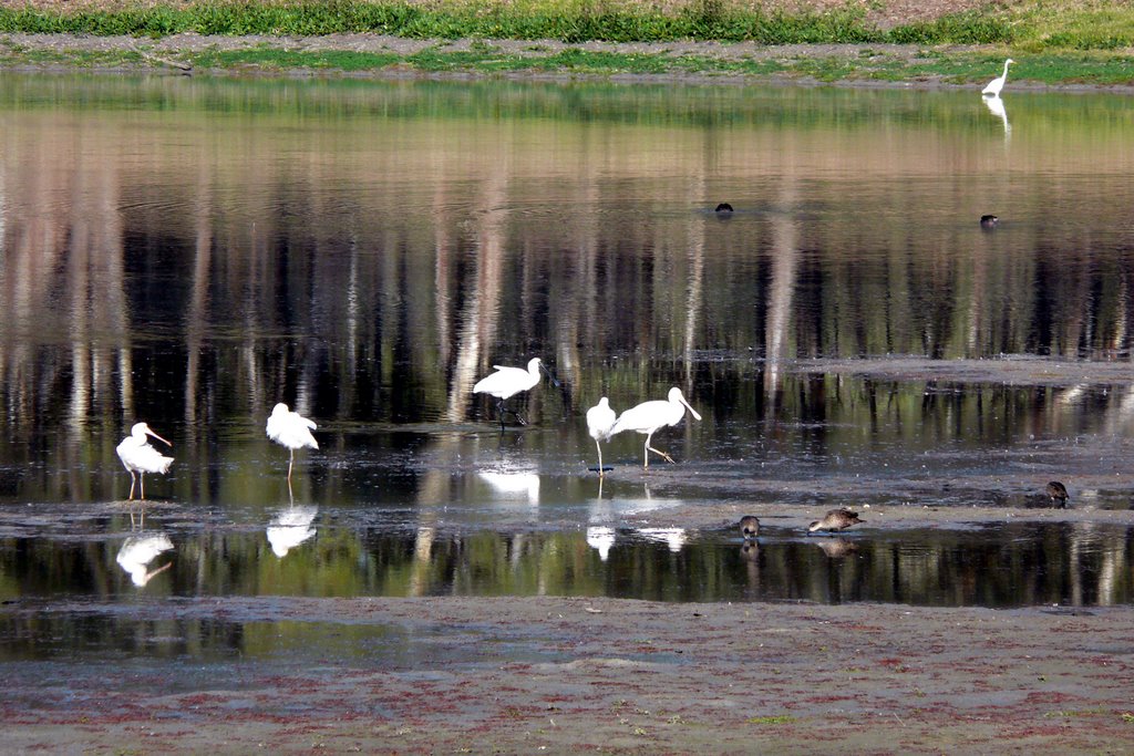
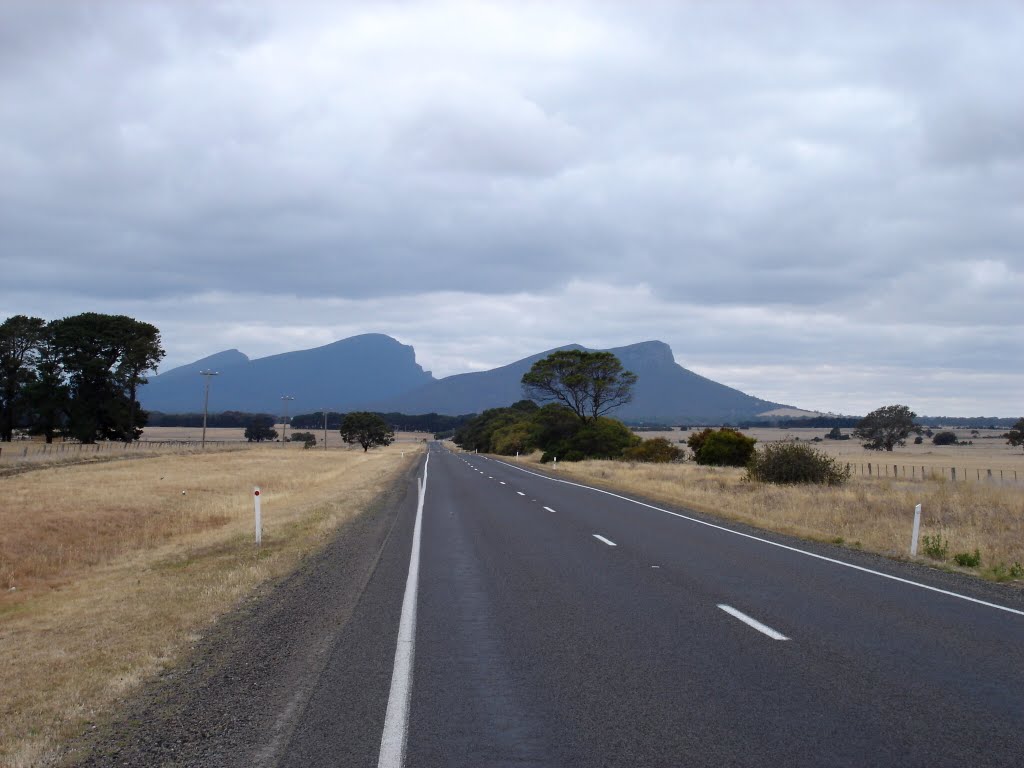
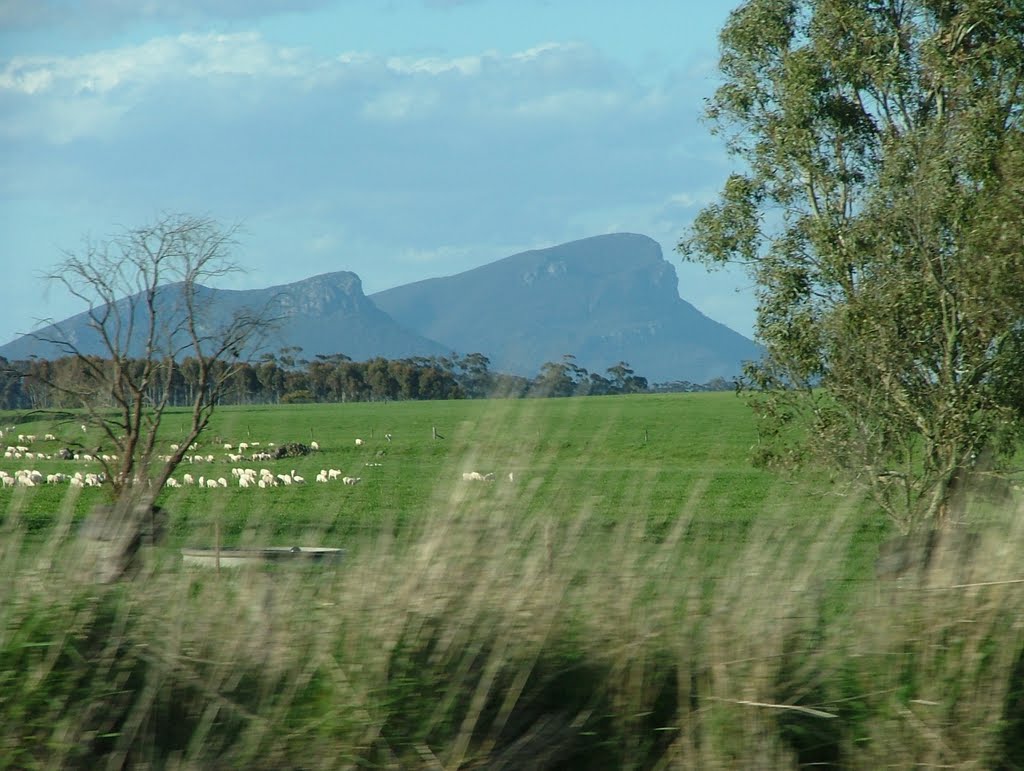
Photos of Nhill
Nhill Weather

Predicción: Overcast clouds
Temperatura: 14.3°
Humedad: 59%
Hora actual: 10:10 AM
Amanece: 07:02 AM
Anochece: 06:02 PM
Croxton East, Australia
Latitude: -37.7925 // Longitude: 142.214
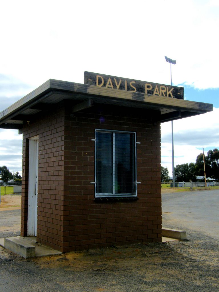
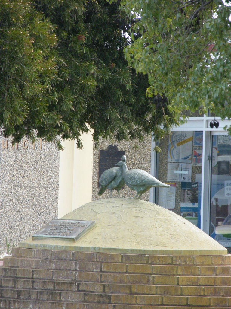
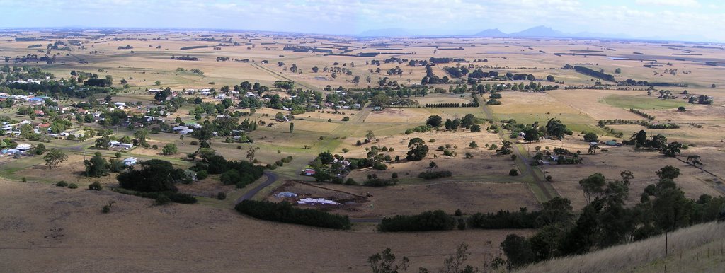
Photos of Croxton East
Croxton East Weather

Predicción: Broken clouds
Temperatura: 13.9°
Humedad: 69%
Hora actual: 10:00 AM
Amanece: 07:01 AM
Anochece: 05:58 PM


