Distance between  Newhaven and
  Forrest
1,110.85 mi Straight Distance
1,351.51 mi Driving Distance
21 hours 14 mins Estimated Driving Time
The straight distance between Newhaven (Victoria) and Forrest (Western Australia) is 1,110.85 mi, but the driving distance is 1,351.51 mi.
It takes to go from Newhaven to Forrest.
Driving directions from Newhaven to Forrest
Distance in kilometers
Straight distance: 1,787.35 km. Route distance: 2,174.58 km
Newhaven, Australia
Latitude: -38.5171 // Longitude: 145.358
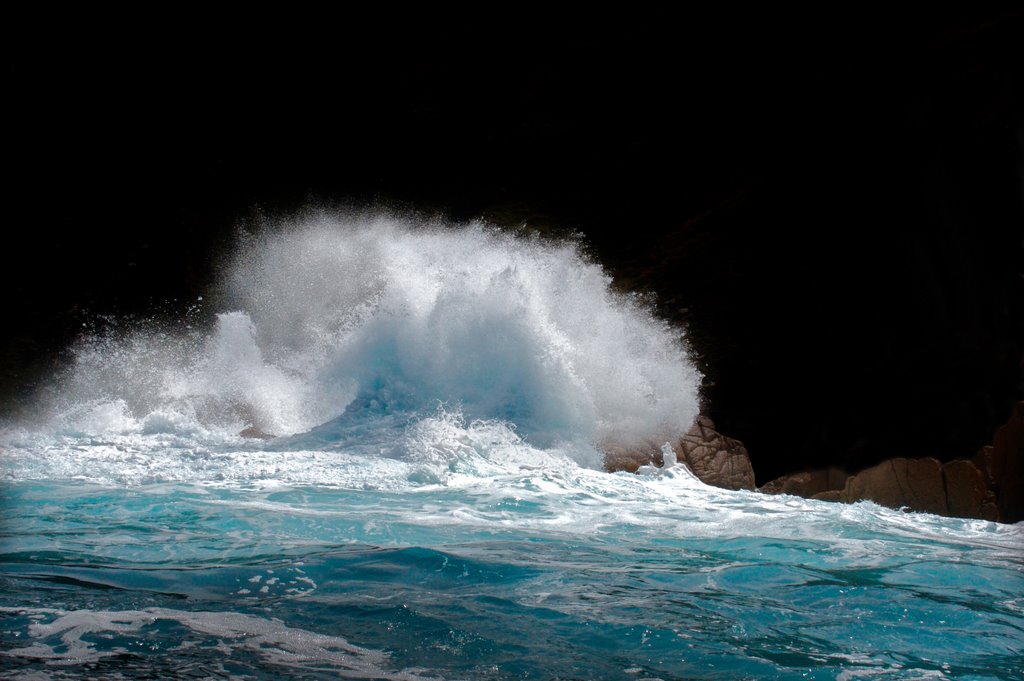
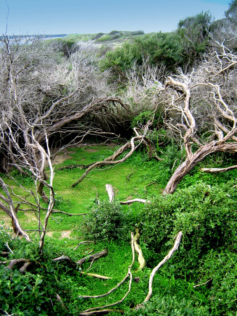
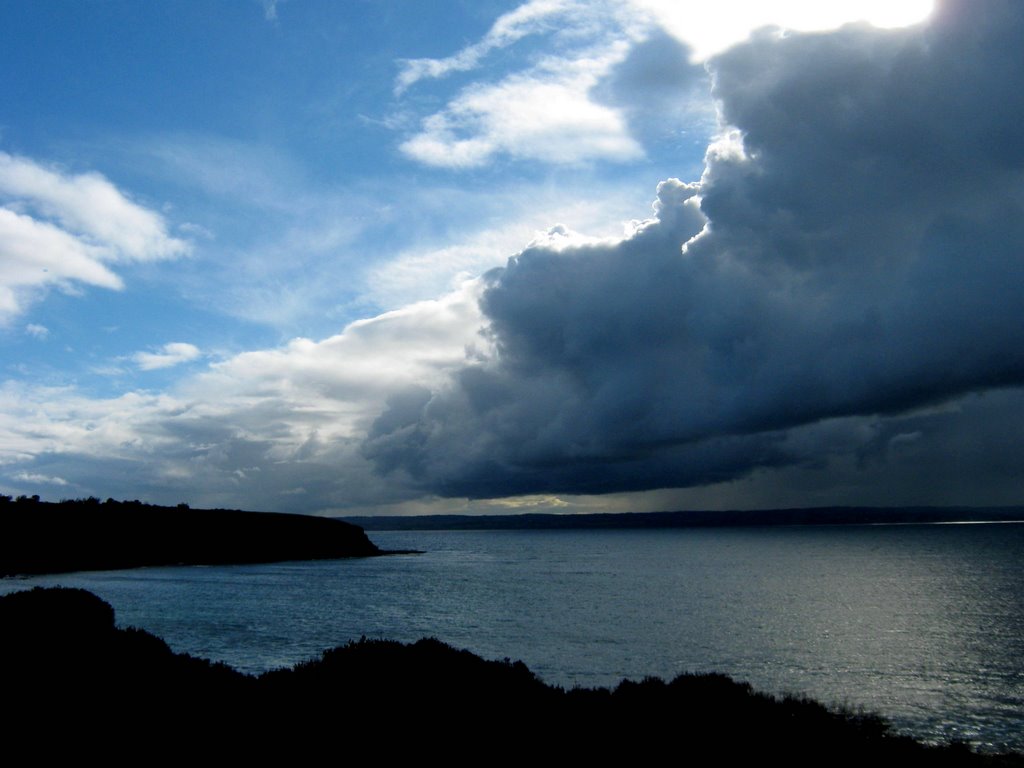
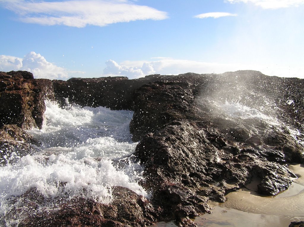
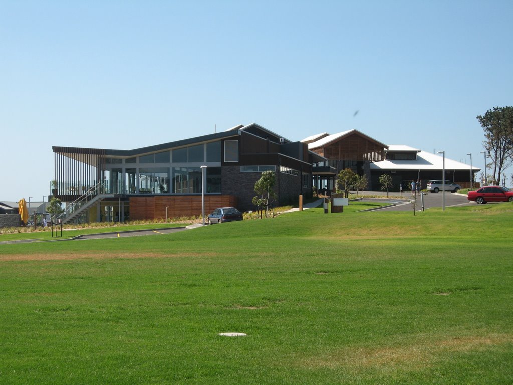
Photos of Newhaven
Newhaven Weather

Predicción: Clear sky
Temperatura: 15.7°
Humedad: 66%
Hora actual: 10:49 AM
Amanece: 06:49 AM
Anochece: 05:45 PM
Forrest, Australia
Latitude: -30.8541 // Longitude: 128.117
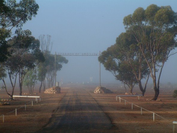
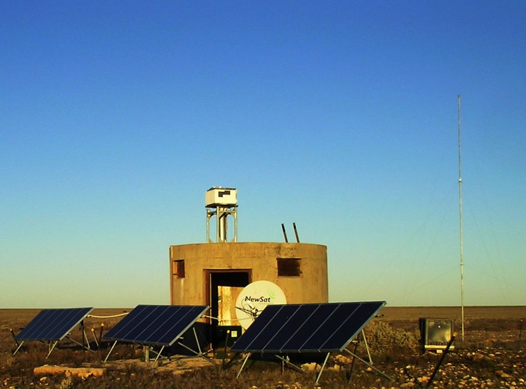
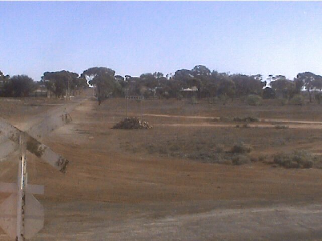
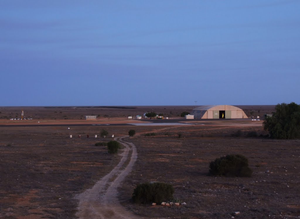
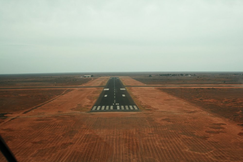
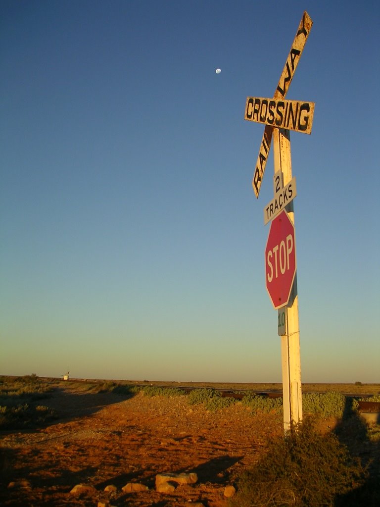
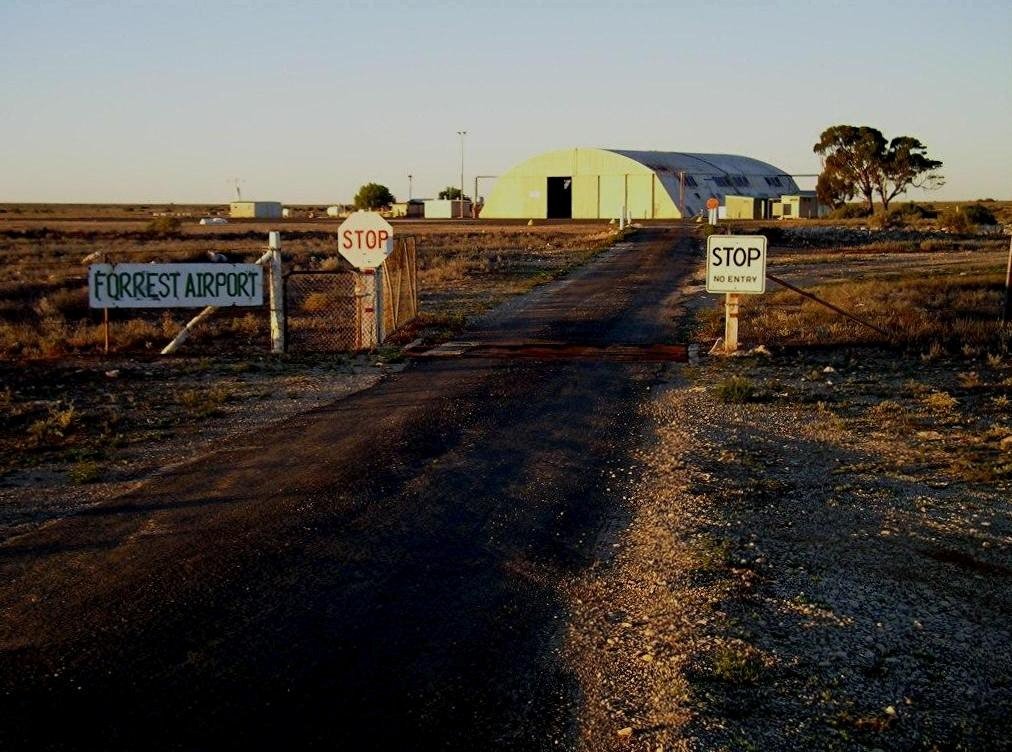
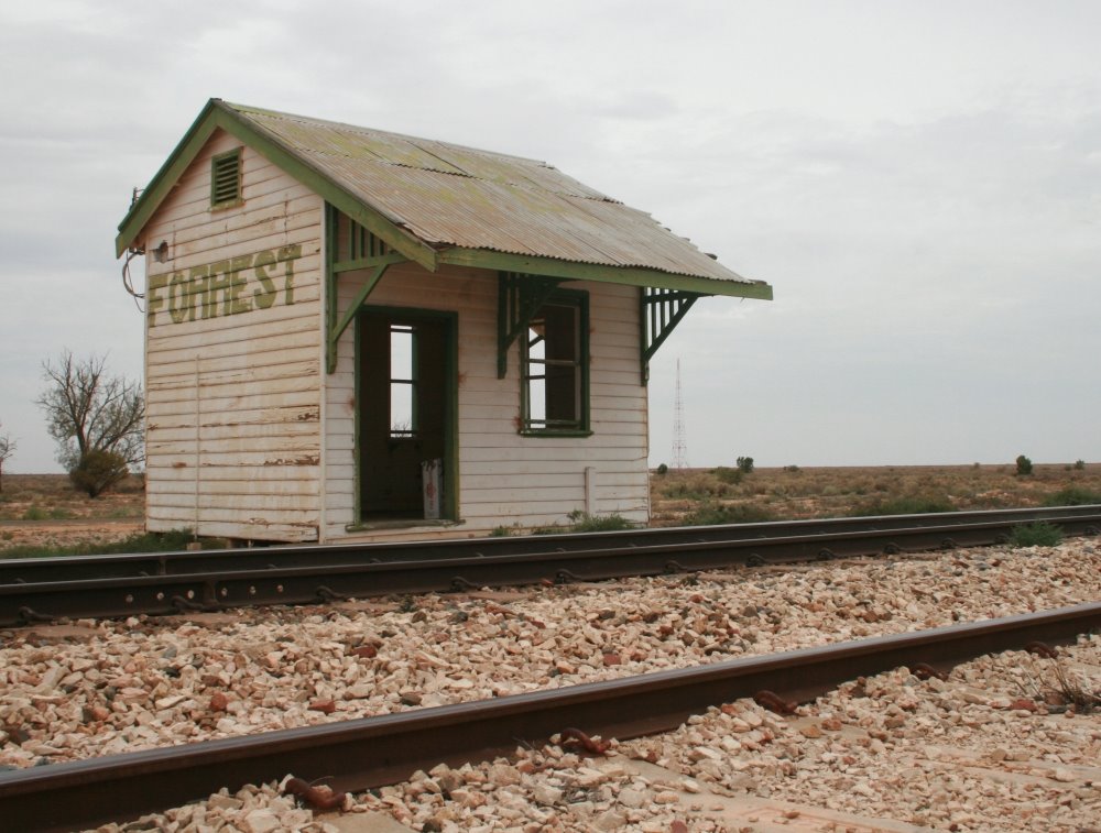
Photos of Forrest
Forrest Weather

Predicción: Overcast clouds
Temperatura: 17.0°
Humedad: 63%
Hora actual: 08:49 AM
Amanece: 05:50 AM
Anochece: 05:03 PM


