Distance between  Ballbank and
  Mororo
399.37 mi Straight Distance
558.74 mi Driving Distance
10 hours 8 mins Estimated Driving Time
The straight distance between Ballbank (New South Wales) and Mororo (New South Wales) is 399.37 mi, but the driving distance is 558.74 mi.
It takes to go from Ballbank to Mororo.
Driving directions from Ballbank to Mororo
Distance in kilometers
Straight distance: 642.59 km. Route distance: 899.01 km
Ballbank, Australia
Latitude: -31.2532 // Longitude: 146.921
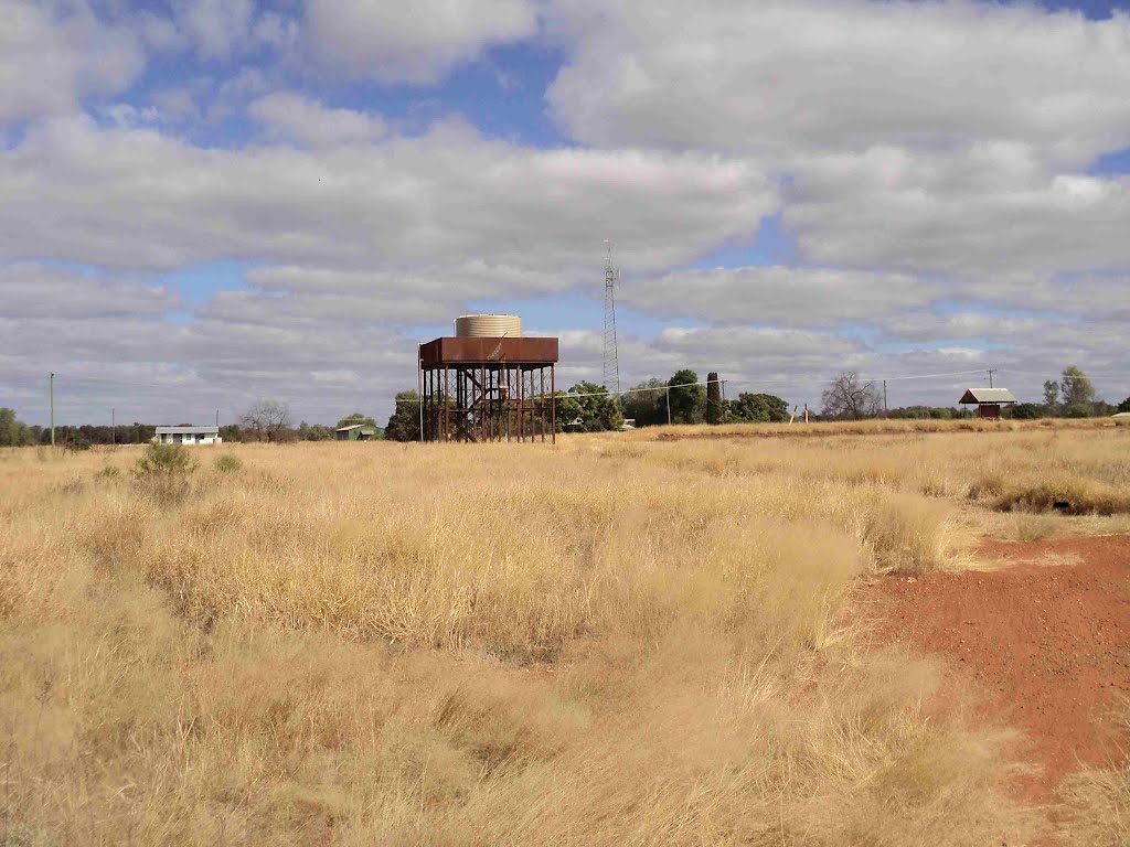
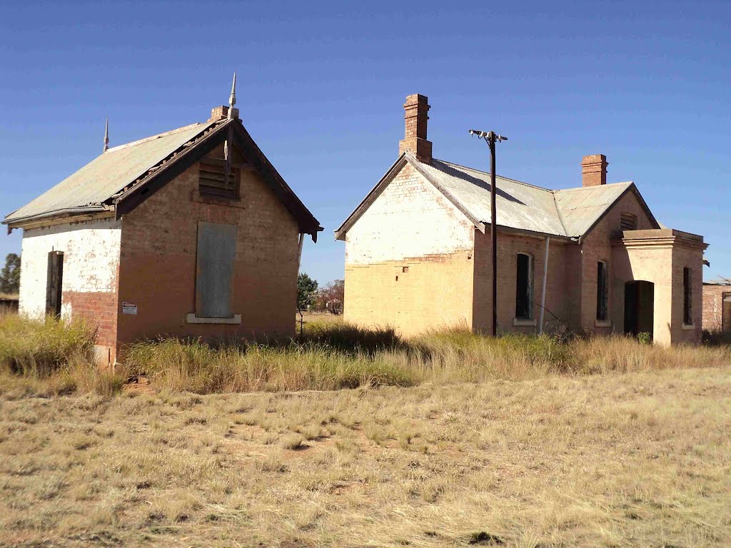
Photos of Ballbank
Ballbank Weather

Predicción: Clear sky
Temperatura: 24.4°
Humedad: 24%
Hora actual: 12:00 AM
Amanece: 08:34 PM
Anochece: 07:48 AM
Mororo, Australia
Latitude: -29.332 // Longitude: 153.236
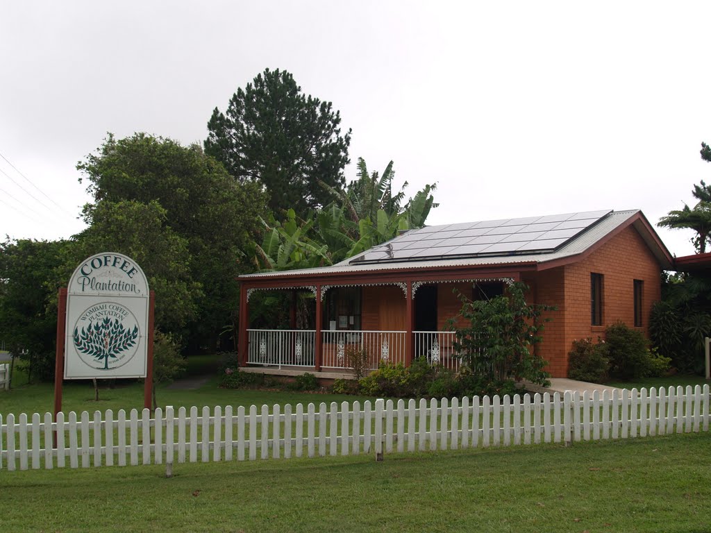
Photos of Mororo
Mororo Weather

Predicción: Few clouds
Temperatura: 27.3°
Humedad: 53%
Hora actual: 03:11 PM
Amanece: 06:07 AM
Anochece: 05:25 PM


