Distance between  Nebo and
  Cracow
269.37 mi Straight Distance
353.85 mi Driving Distance
6 hours 49 mins Estimated Driving Time
The straight distance between Nebo (Queensland) and Cracow (Queensland) is 269.37 mi, but the driving distance is 353.85 mi.
It takes 6 hours 54 mins to go from Nebo to Cracow.
Driving directions from Nebo to Cracow
Distance in kilometers
Straight distance: 433.41 km. Route distance: 569.34 km
Nebo, Australia
Latitude: -21.6882 // Longitude: 148.695
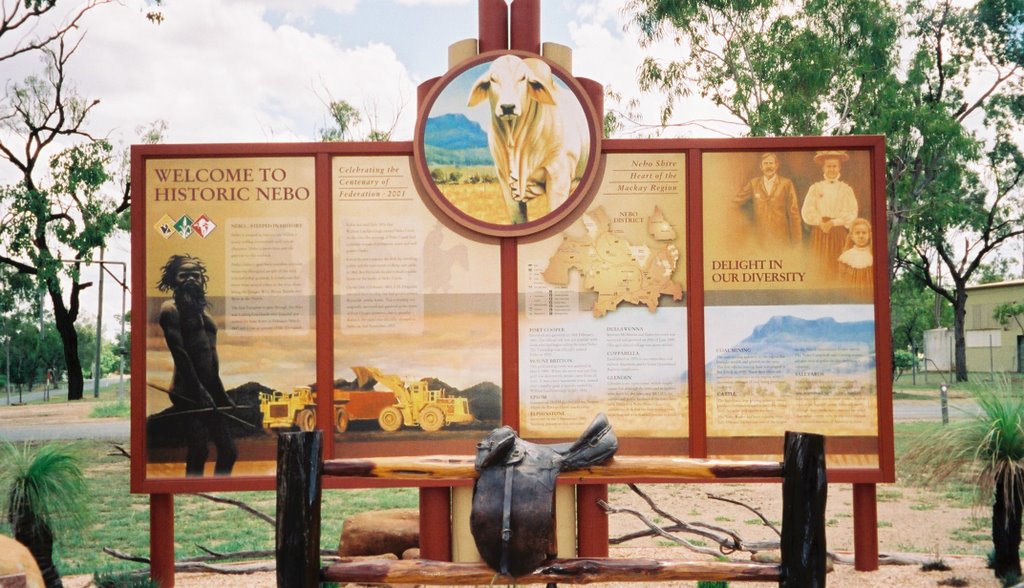
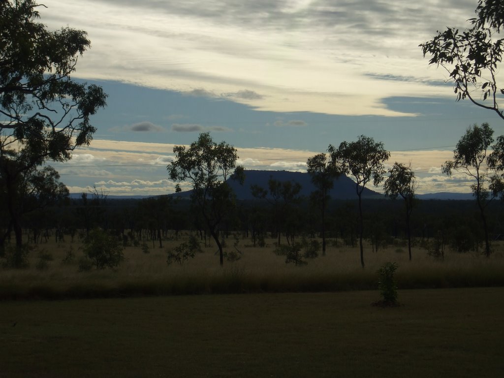
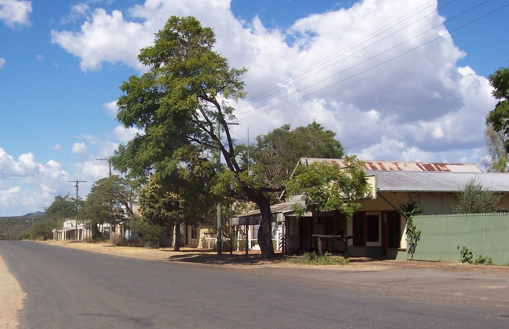
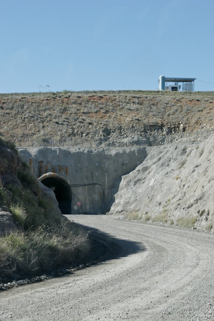
Photos of Nebo
Nebo Weather

Predicción: Broken clouds
Temperatura: 20.9°
Humedad: 93%
Hora actual: 11:28 PM
Amanece: 06:18 AM
Anochece: 05:50 PM
Cracow, Australia
Latitude: -25.2969 // Longitude: 150.304
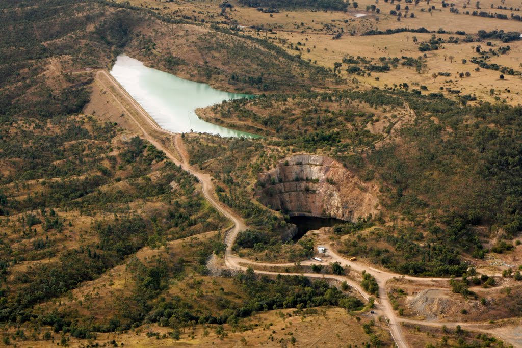
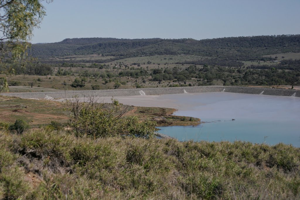
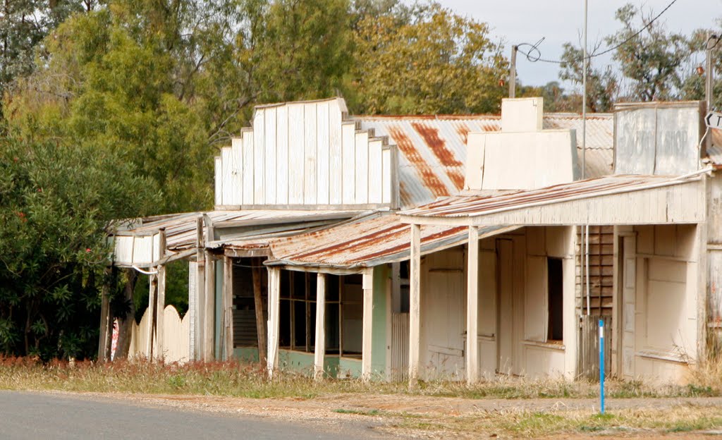
Photos of Cracow
Cracow Weather

Predicción: Overcast clouds
Temperatura: 20.8°
Humedad: 74%
Hora actual: 10:00 AM
Amanece: 06:15 AM
Anochece: 05:40 PM


