Distance between  Nathalia and
  Tallandoon
114.32 mi Straight Distance
147.02 mi Driving Distance
2 hours 30 mins Estimated Driving Time
The straight distance between Nathalia (Victoria) and Tallandoon (Victoria) is 114.32 mi, but the driving distance is 147.02 mi.
It takes to go from Nathalia to Tallandoon.
Driving directions from Nathalia to Tallandoon
Distance in kilometers
Straight distance: 183.94 km. Route distance: 236.55 km
Nathalia, Australia
Latitude: -36.0564 // Longitude: 145.204
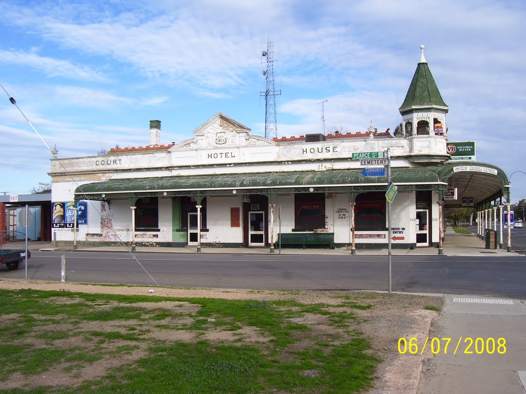
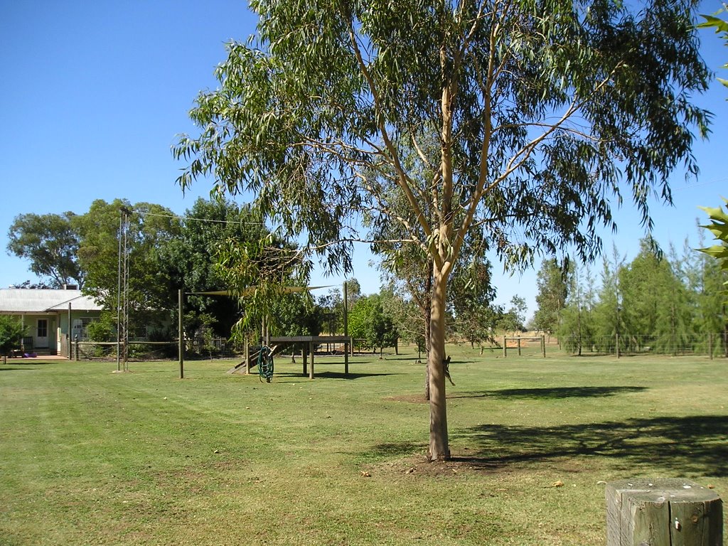
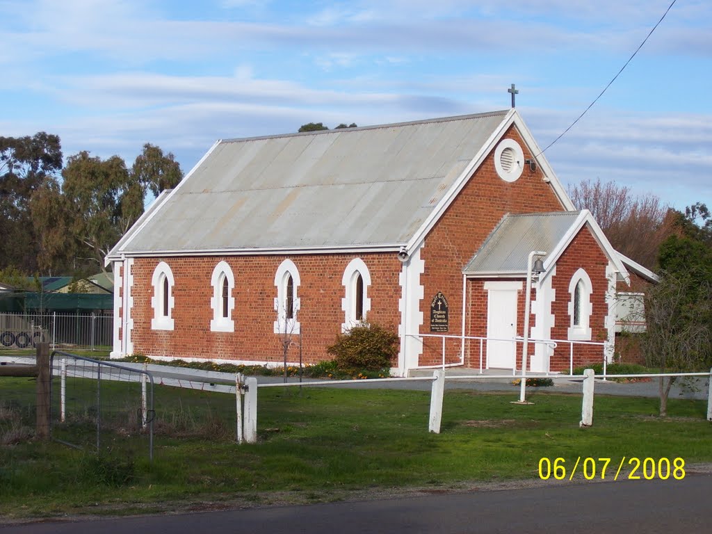
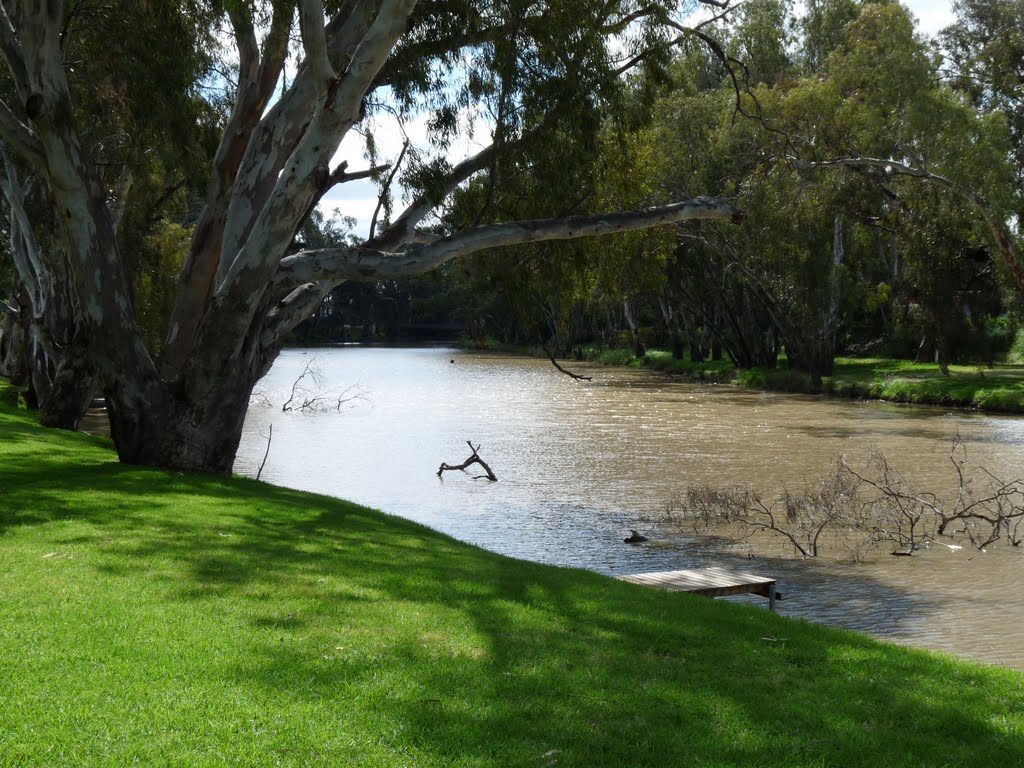
Photos of Nathalia
Nathalia Weather

Predicción: Scattered clouds
Temperatura: 13.8°
Humedad: 64%
Hora actual: 09:01 AM
Amanece: 06:47 AM
Anochece: 05:49 PM
Tallandoon, Australia
Latitude: -36.432 // Longitude: 147.202
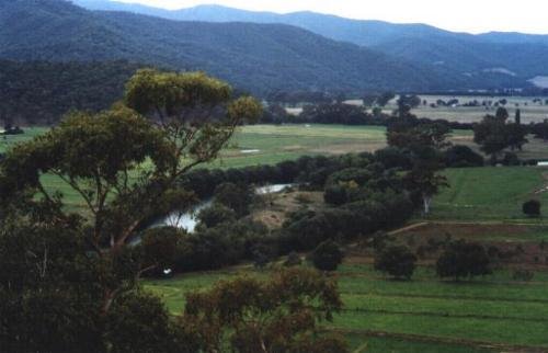
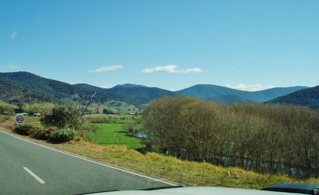
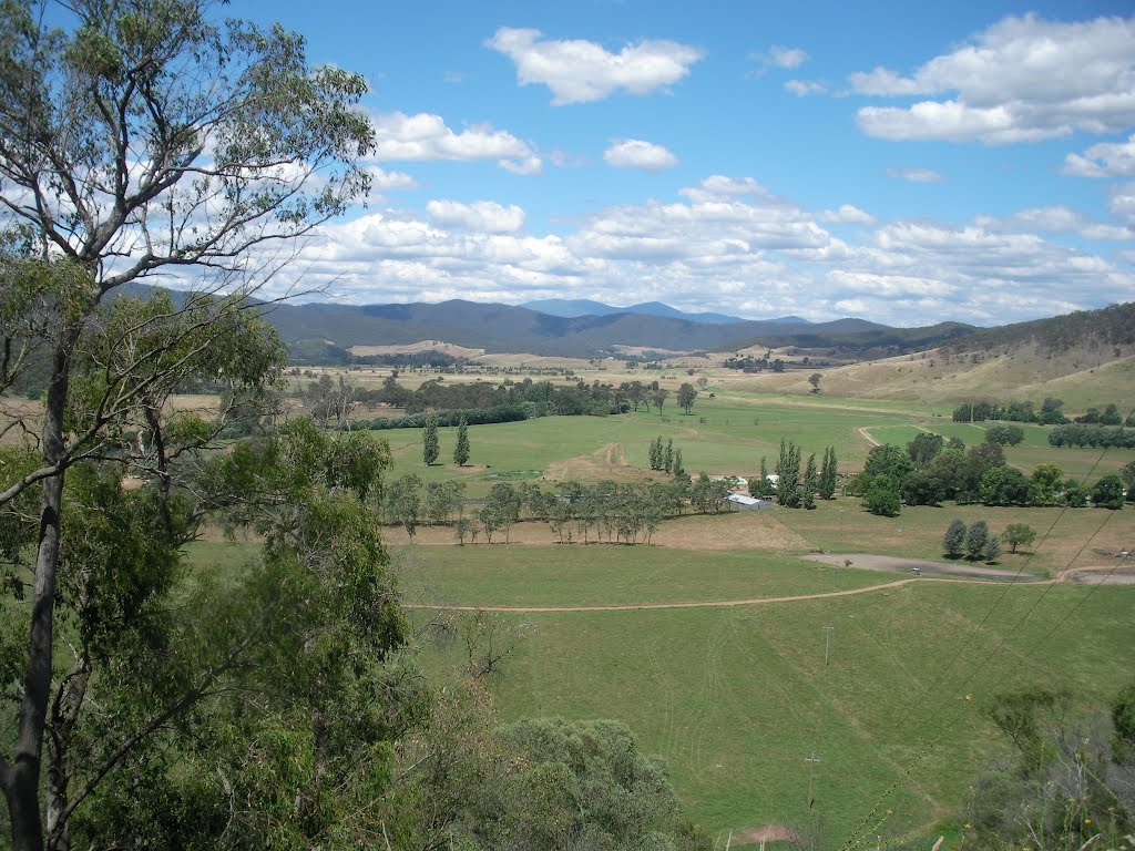
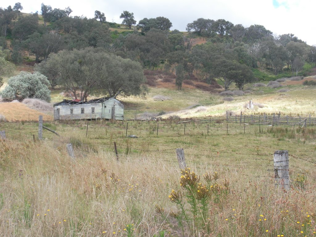
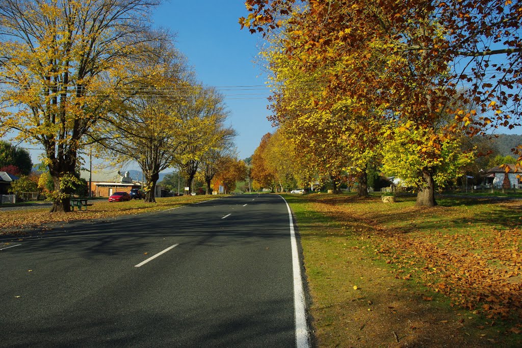
Photos of Tallandoon
Tallandoon Weather

Predicción: Scattered clouds
Temperatura: 12.7°
Humedad: 59%
Hora actual: 10:00 AM
Amanece: 06:39 AM
Anochece: 05:40 PM


