Distance between  Narrung and
  Caloote
38.59 mi Straight Distance
63.48 mi Driving Distance
1 hour 34 mins Estimated Driving Time
The straight distance between Narrung (South Australia) and Caloote (South Australia) is 38.59 mi, but the driving distance is 63.48 mi.
It takes to go from Narrung to Caloote.
Driving directions from Narrung to Caloote
Distance in kilometers
Straight distance: 62.09 km. Route distance: 102.14 km
Narrung, Australia
Latitude: -35.5184 // Longitude: 139.174
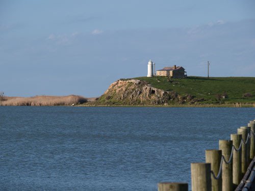
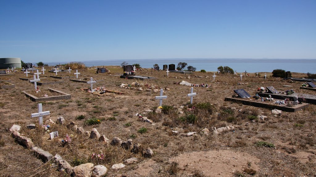
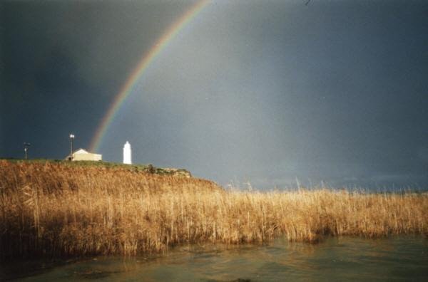
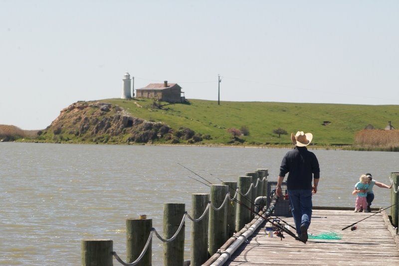
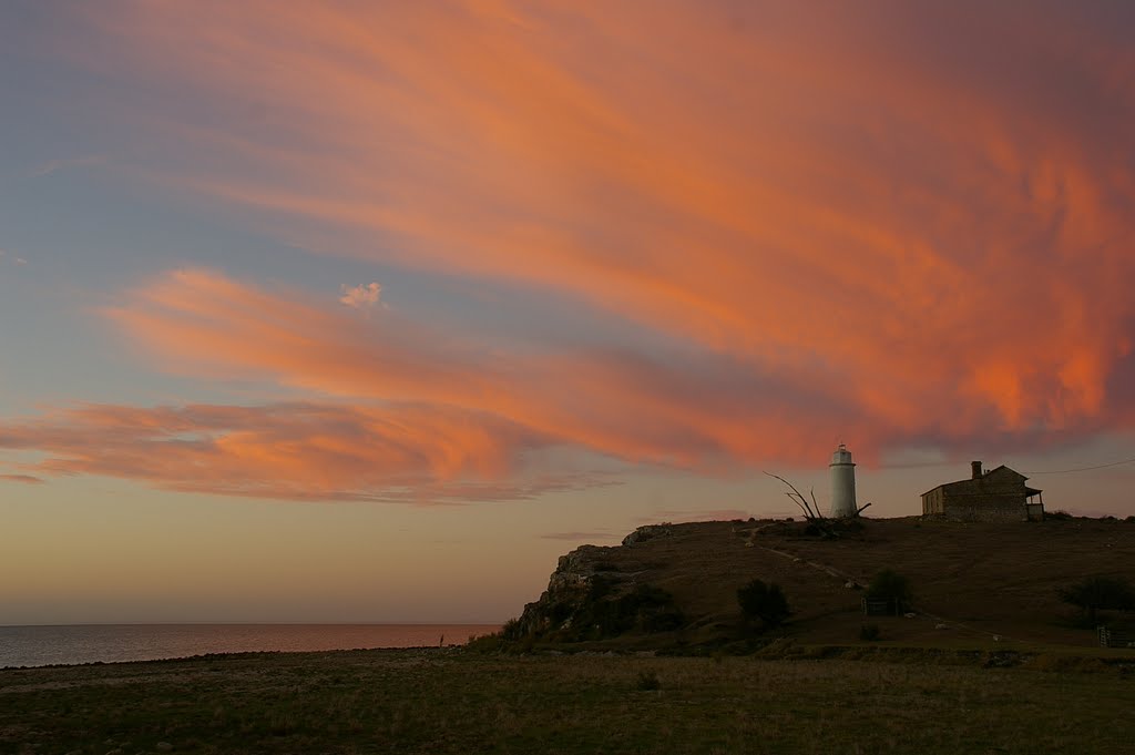
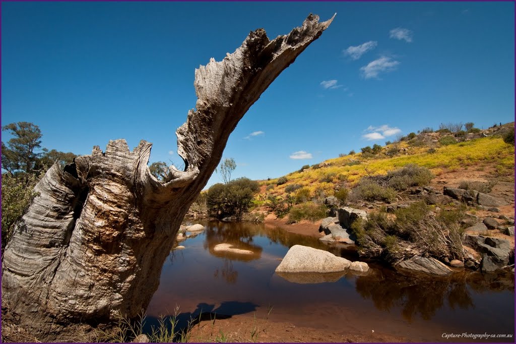
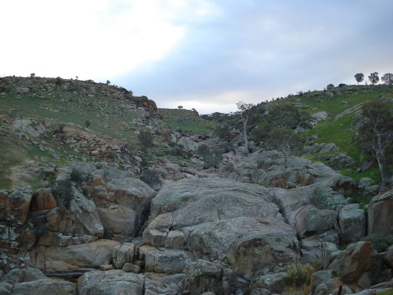
Photos of Narrung
Narrung Weather

Predicción: Clear sky
Temperatura: 14.4°
Humedad: 74%
Hora actual: 12:00 AM
Amanece: 09:08 PM
Anochece: 08:17 AM
Caloote, Australia
Latitude: -34.9643 // Longitude: 139.26
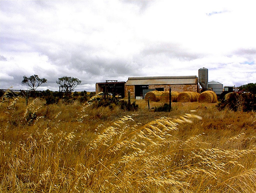
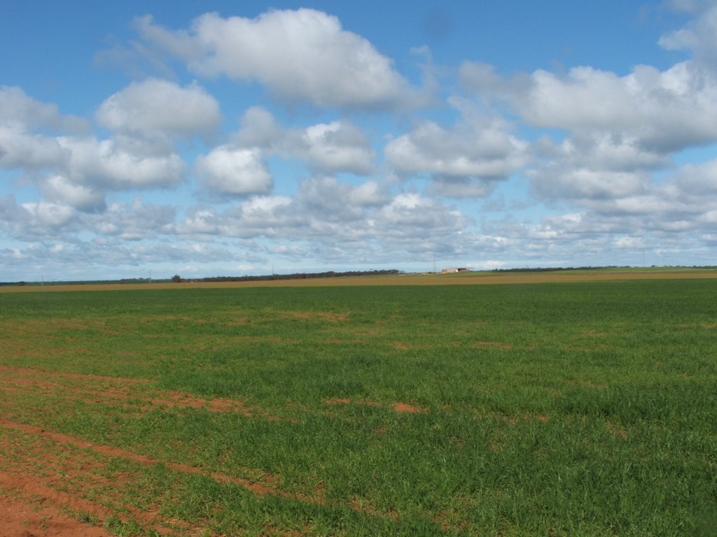
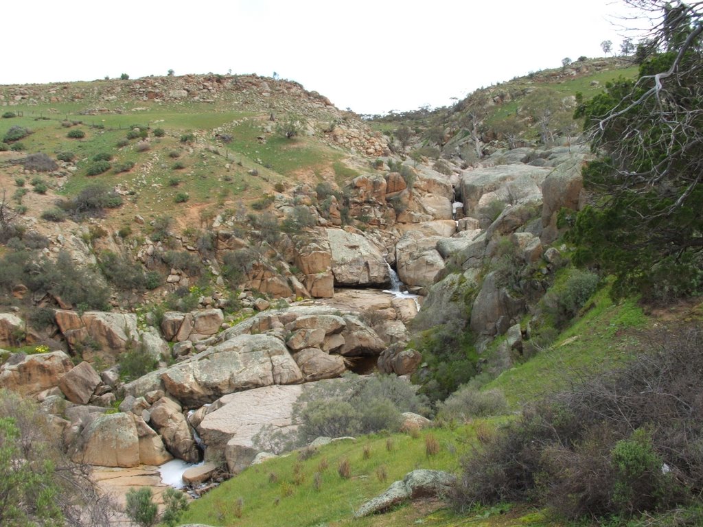
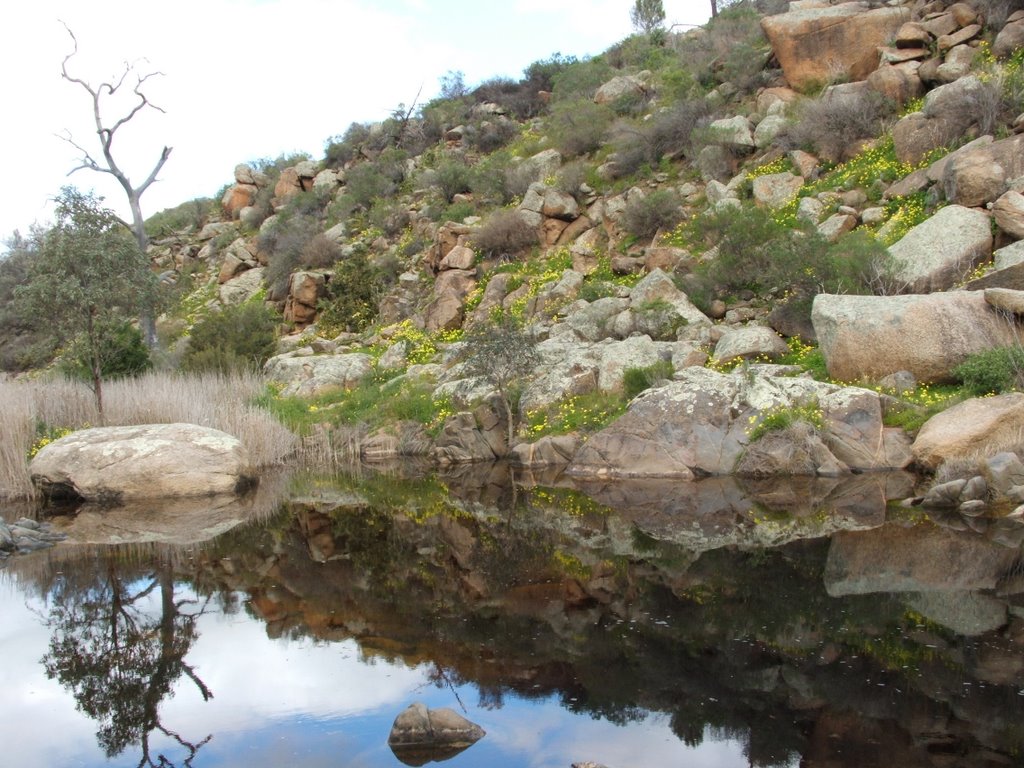
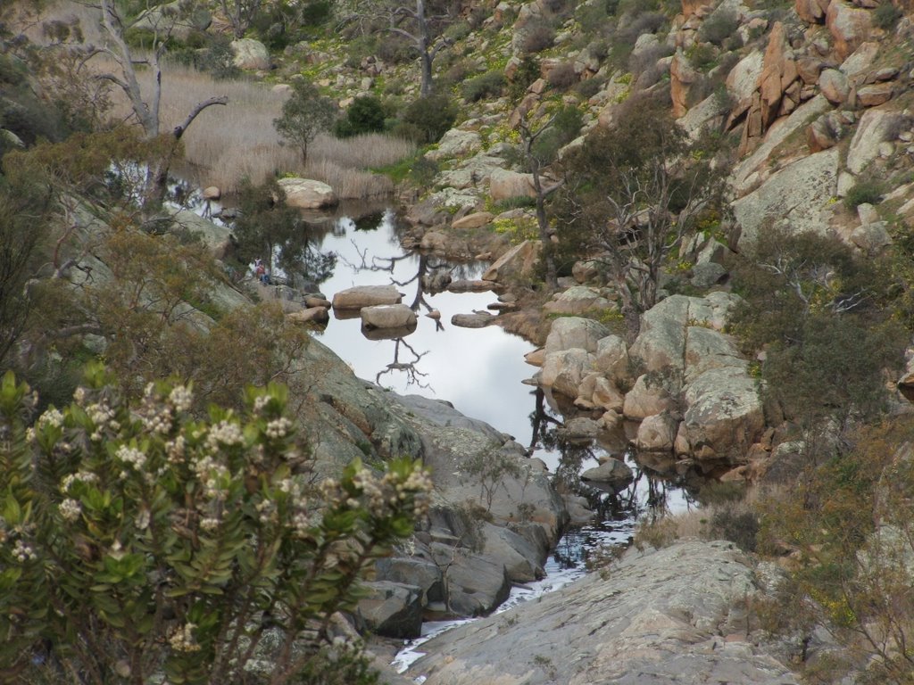
Photos of Caloote
Caloote Weather

Predicción: Clear sky
Temperatura: 14.9°
Humedad: 61%
Hora actual: 09:12 AM
Amanece: 06:38 AM
Anochece: 05:46 PM


