Distance between  Narrogin and
  Moonyoonooka
321.69 mi Straight Distance
373.73 mi Driving Distance
6 hours 0 mins Estimated Driving Time
The straight distance between Narrogin (Western Australia) and Moonyoonooka (Western Australia) is 321.69 mi, but the driving distance is 373.73 mi.
It takes 6 hours 28 mins to go from Narrogin to Moonyoonooka.
Driving directions from Narrogin to Moonyoonooka
Distance in kilometers
Straight distance: 517.60 km. Route distance: 601.33 km
Narrogin, Australia
Latitude: -32.9347 // Longitude: 117.176
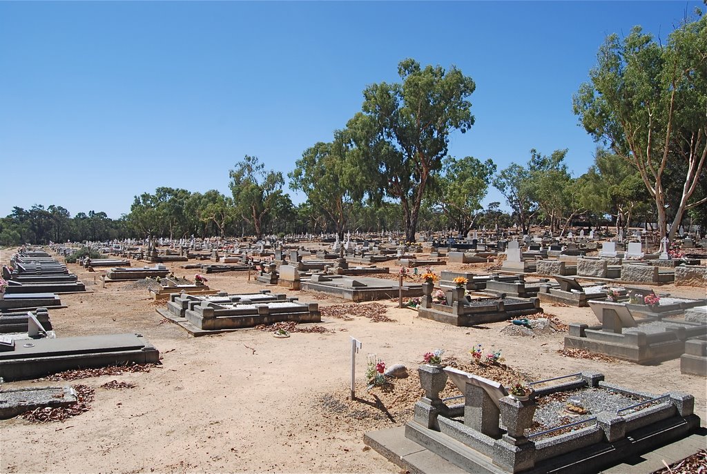
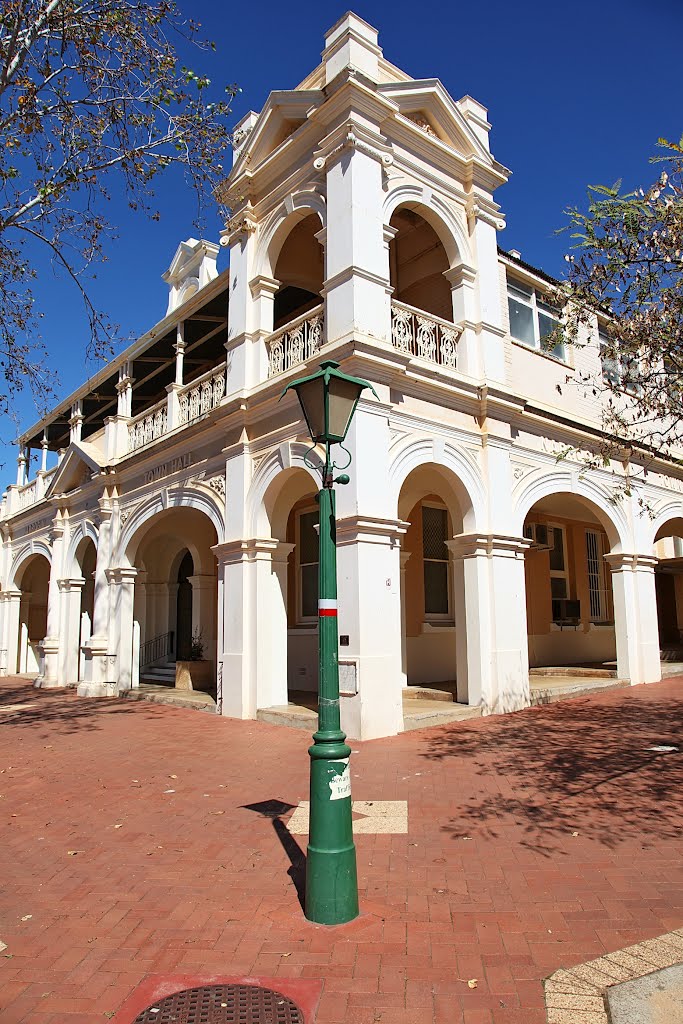
Photos of Narrogin
Narrogin Weather

Predicción: Clear sky
Temperatura: 25.8°
Humedad: 27%
Hora actual: 12:19 PM
Amanece: 06:35 AM
Anochece: 05:45 PM
Moonyoonooka, Australia
Latitude: -28.7826 // Longitude: 114.721
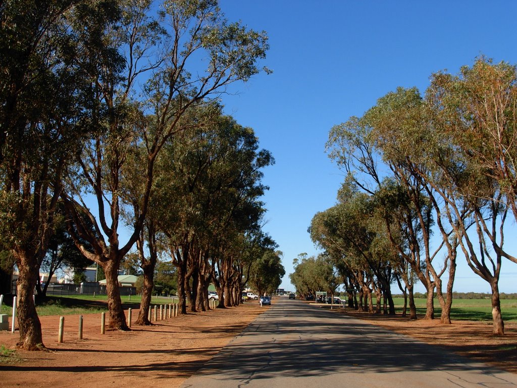
Photos of Moonyoonooka
Moonyoonooka Weather

Predicción: Clear sky
Temperatura: 34.9°
Humedad: 16%
Hora actual: 12:19 PM
Amanece: 06:41 AM
Anochece: 05:59 PM


