Distance between  Narooma and
  Muttama
149.15 mi Straight Distance
226.40 mi Driving Distance
4 hours 5 mins Estimated Driving Time
The straight distance between Narooma (New South Wales) and Muttama (New South Wales) is 149.15 mi, but the driving distance is 226.40 mi.
It takes 4 hours 12 mins to go from Narooma to Muttama.
Driving directions from Narooma to Muttama
Distance in kilometers
Straight distance: 239.99 km. Route distance: 364.28 km
Narooma, Australia
Latitude: -36.2182 // Longitude: 150.132
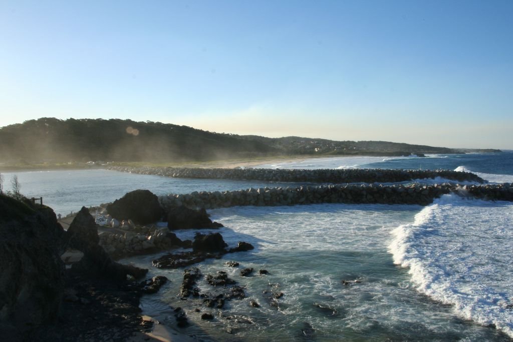
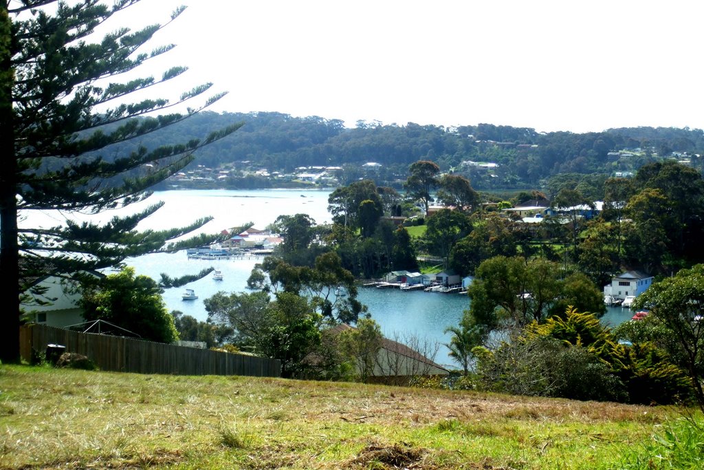
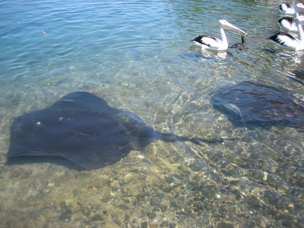
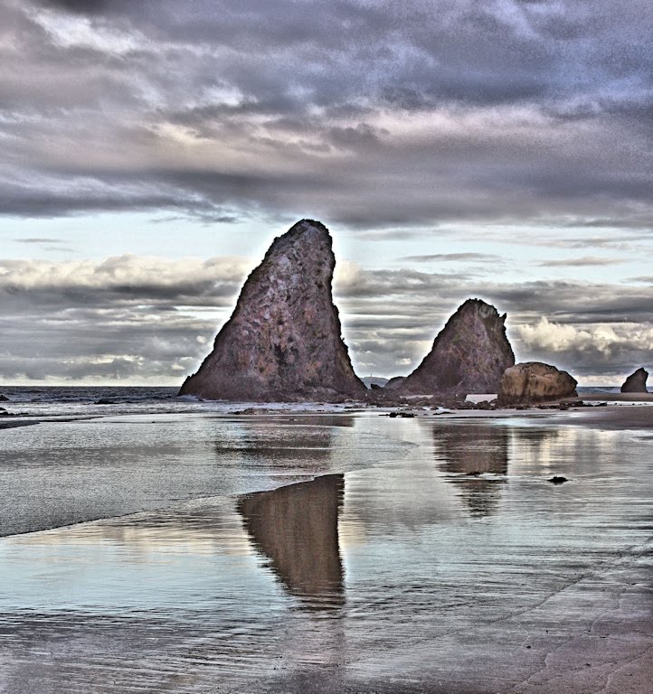
Photos of Narooma
Narooma Weather

Predicción: Overcast clouds
Temperatura: 13.3°
Humedad: 95%
Hora actual: 11:49 PM
Amanece: 06:27 AM
Anochece: 05:30 PM
Muttama, Australia
Latitude: -34.8107 // Longitude: 148.121
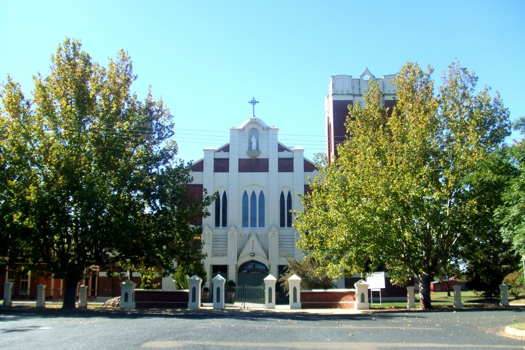
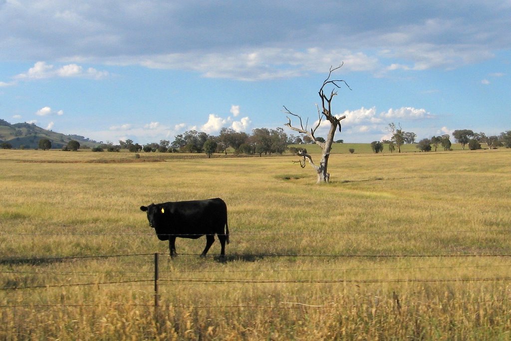
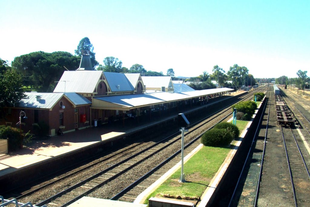
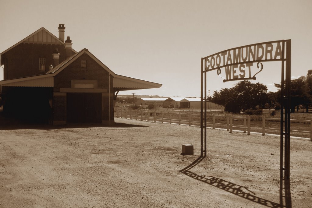
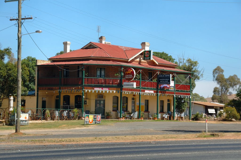
Photos of Muttama
Muttama Weather

Predicción: Few clouds
Temperatura: 7.5°
Humedad: 70%
Hora actual: 10:00 AM
Amanece: 06:33 AM
Anochece: 05:40 PM


