Distance between  Nagambie and
  Katunga
56.84 mi Straight Distance
63.02 mi Driving Distance
1 hour 8 mins Estimated Driving Time
The straight distance between Nagambie (Victoria) and Katunga (Victoria) is 56.84 mi, but the driving distance is 63.02 mi.
It takes 1 hour 9 mins to go from Nagambie to Katunga.
Driving directions from Nagambie to Katunga
Distance in kilometers
Straight distance: 91.46 km. Route distance: 101.41 km
Nagambie, Australia
Latitude: -36.7843 // Longitude: 145.155
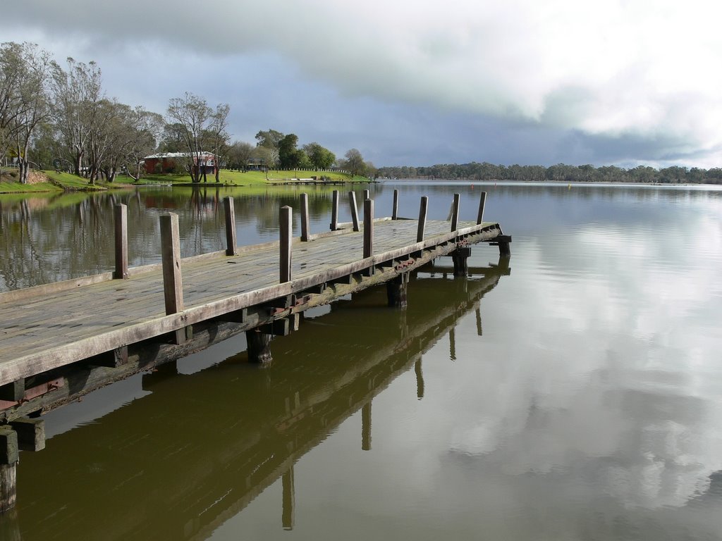
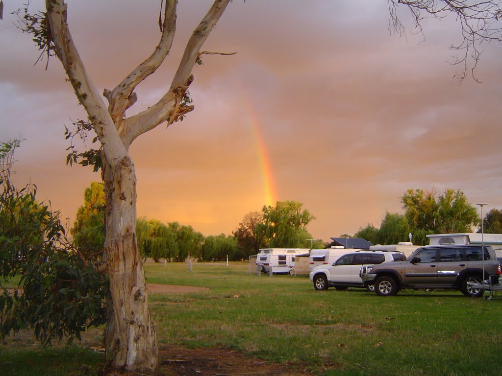
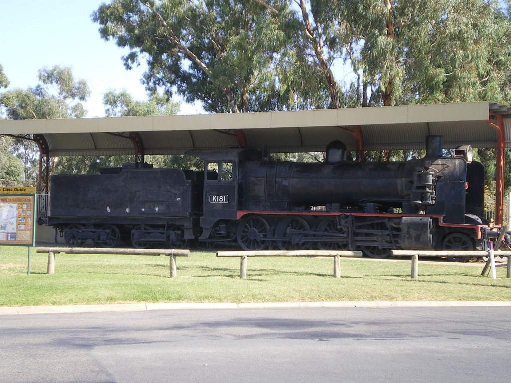
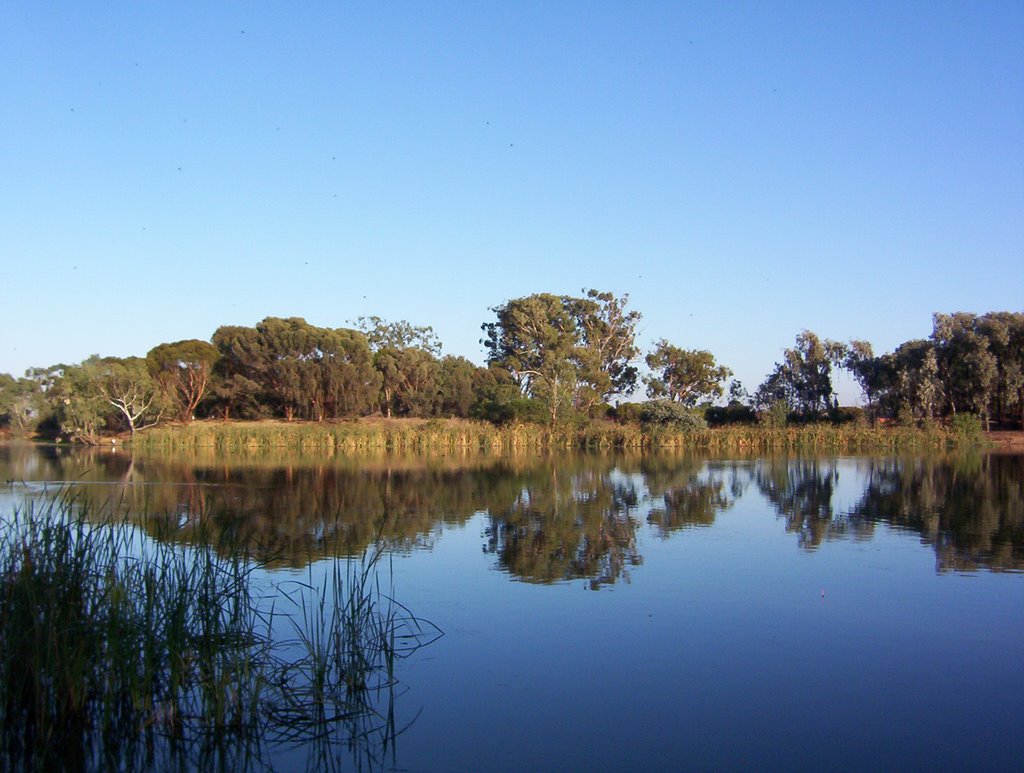
Photos of Nagambie
Nagambie Weather

Predicción: Light rain
Temperatura: 17.1°
Humedad: 43%
Hora actual: 04:59 PM
Amanece: 06:47 AM
Anochece: 05:49 PM
Katunga, Australia
Latitude: -35.9991 // Longitude: 145.46
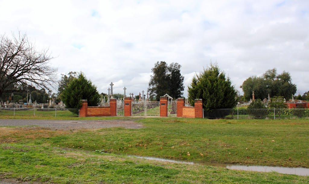
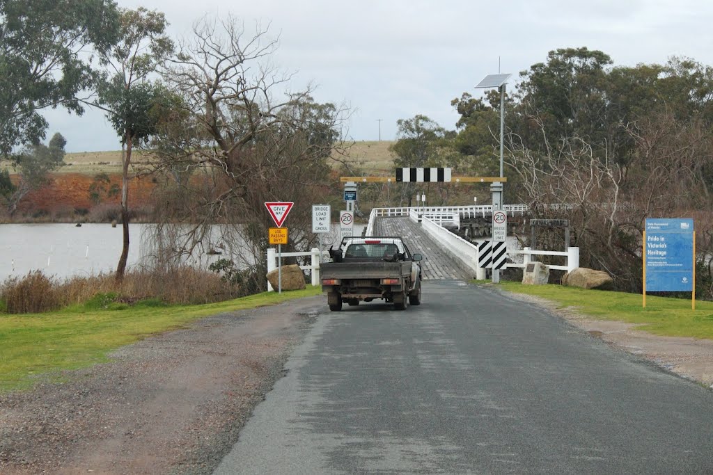
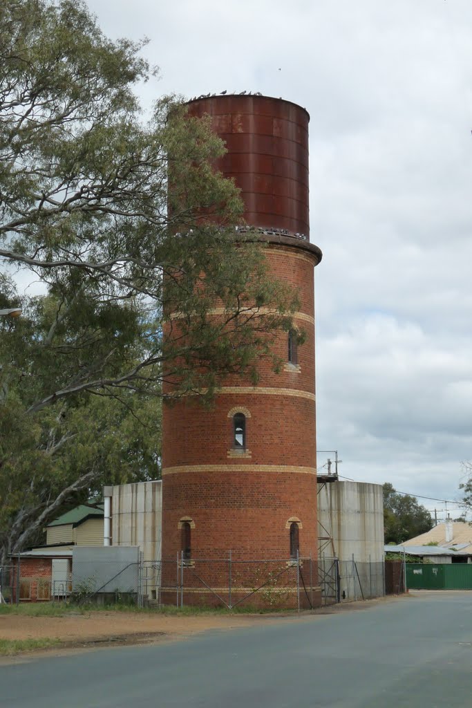
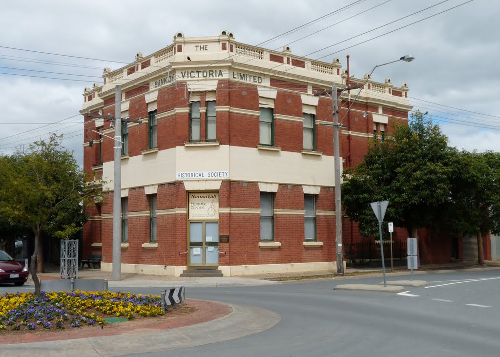
Photos of Katunga
Katunga Weather

Predicción: Few clouds
Temperatura: 18.7°
Humedad: 36%
Hora actual: 04:59 PM
Amanece: 06:45 AM
Anochece: 05:49 PM


