
Distance between  Myponga and
  Hatherleigh
176.46 mi Straight Distance
273.55 mi Driving Distance
4 hours 29 mins Estimated Driving Time
The straight distance between Myponga (South Australia) and Hatherleigh (South Australia) is 176.46 mi, but the driving distance is 273.55 mi.
It takes 4 hours 23 mins to go from Myponga to Hatherleigh.
Driving directions from Myponga to Hatherleigh
Distance in kilometers
Straight distance: 283.92 km. Route distance: 440.13 km
Myponga, Australia
Latitude: -35.392 // Longitude: 138.463
Photos of Myponga


Myponga Weather

Predicción: Broken clouds
Temperatura: 12.8°
Humedad: 73%
Hora actual: 04:34 AM
Amanece: 06:43 AM
Anochece: 05:46 PM
Hatherleigh, Australia
Latitude: -37.4898 // Longitude: 140.274
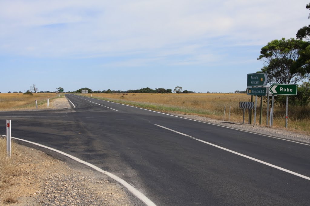
Photos of Hatherleigh


Hatherleigh Weather
Predicción: Overcast clouds
Temperatura: 13.2°
Humedad: 73%
Hora actual: 09:30 AM
Amanece: 06:38 AM
Anochece: 05:36 PM


