Distance between  Murgheboluc and
  Percydale
83.01 mi Straight Distance
101.58 mi Driving Distance
2 hours 2 mins Estimated Driving Time
The straight distance between Murgheboluc (Victoria) and Percydale (Victoria) is 83.01 mi, but the driving distance is 101.58 mi.
It takes to go from Murgheboluc to Percydale.
Driving directions from Murgheboluc to Percydale
Distance in kilometers
Straight distance: 133.56 km. Route distance: 163.45 km
Murgheboluc, Australia
Latitude: -38.1072 // Longitude: 144.144
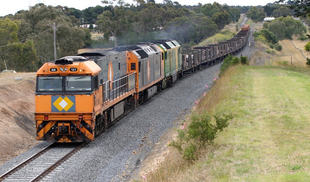
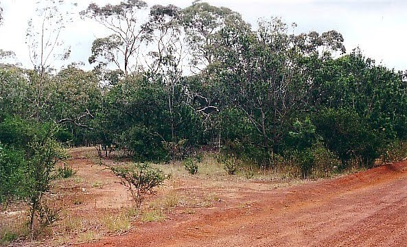
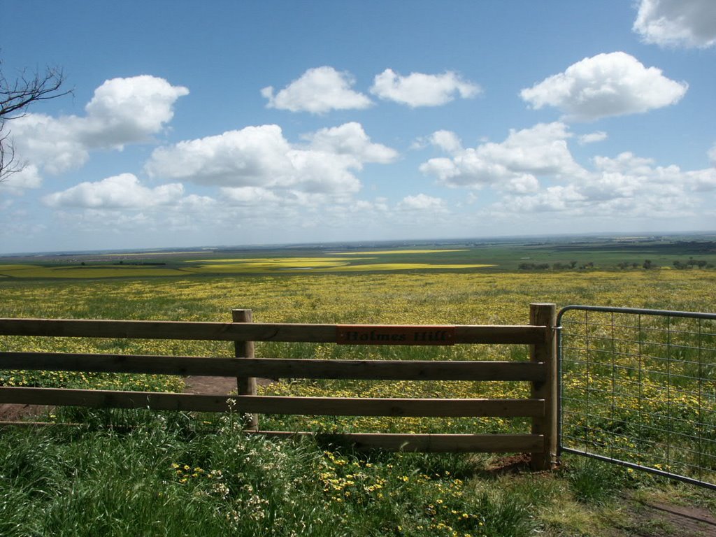
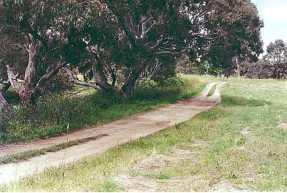
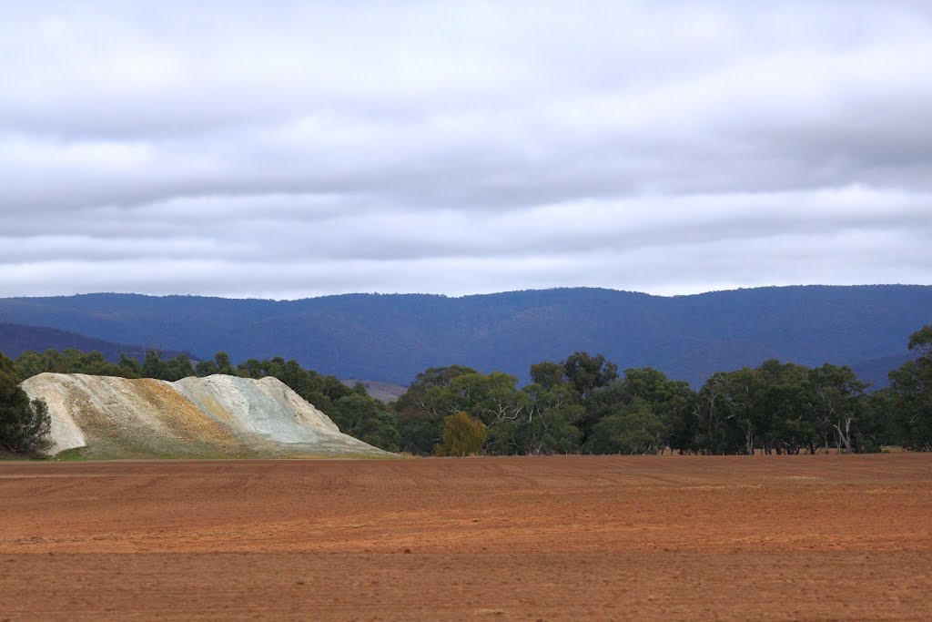
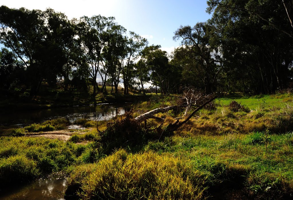
Photos of Murgheboluc
Murgheboluc Weather

Predicción: Light rain
Temperatura: 15.7°
Humedad: 72%
Hora actual: 02:28 PM
Amanece: 06:53 AM
Anochece: 05:52 PM
Percydale, Australia
Latitude: -37.0551 // Longitude: 143.412
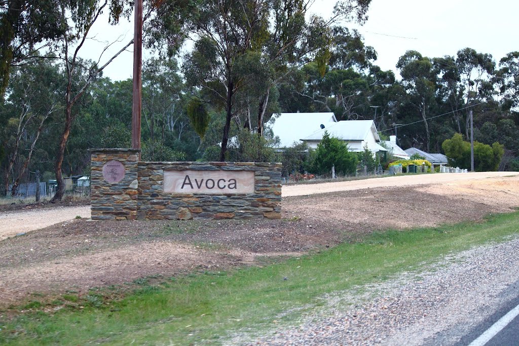
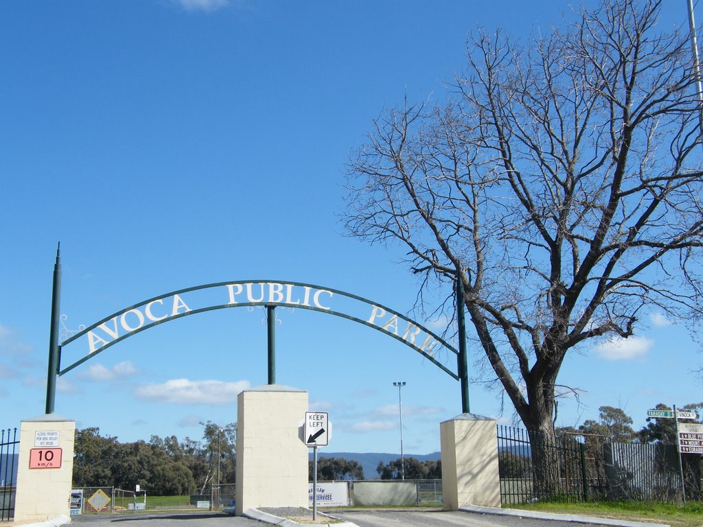
Photos of Percydale
Percydale Weather

Predicción: Overcast clouds
Temperatura: 14.5°
Humedad: 56%
Hora actual: 02:28 PM
Amanece: 06:55 AM
Anochece: 05:56 PM


