Distance between  Murchison North and
  Woodfield
43.23 mi Straight Distance
56.64 mi Driving Distance
1 hour 2 mins Estimated Driving Time
The straight distance between Murchison North (Victoria) and Woodfield (Victoria) is 43.23 mi, but the driving distance is 56.64 mi.
It takes 1 hour 16 mins to go from Murchison North to Woodfield.
Driving directions from Murchison North to Woodfield
Distance in kilometers
Straight distance: 69.55 km. Route distance: 91.14 km
Murchison North, Australia
Latitude: -36.5563 // Longitude: 145.278
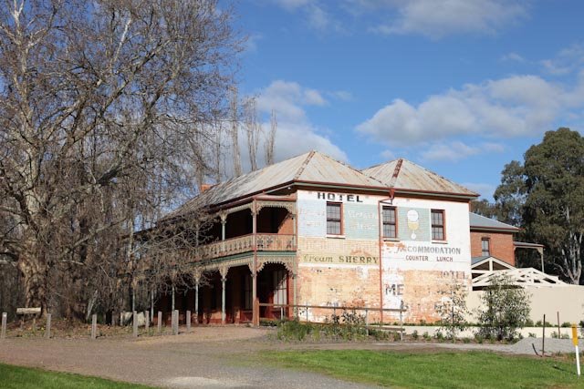
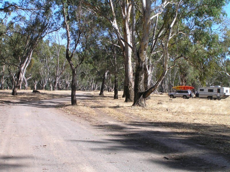
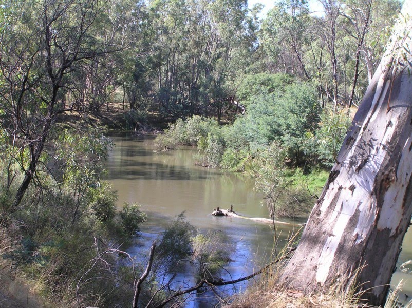
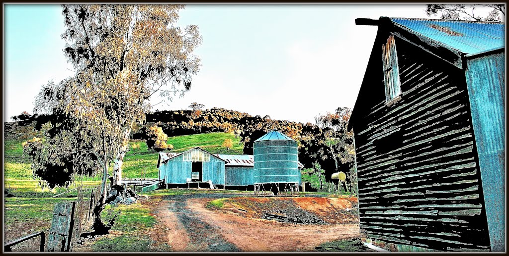
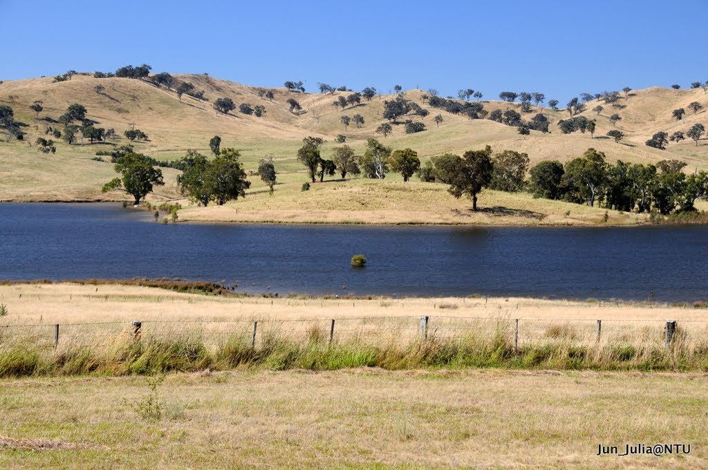
Photos of Murchison North
Murchison North Weather

Predicción: Overcast clouds
Temperatura: 11.8°
Humedad: 81%
Hora actual: 01:05 AM
Amanece: 06:46 AM
Anochece: 05:50 PM
Woodfield, Australia
Latitude: -37.0203 // Longitude: 145.802
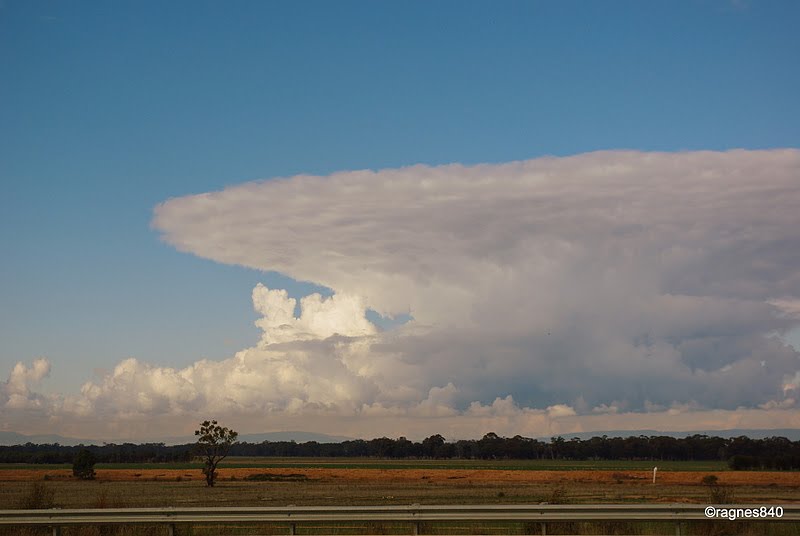
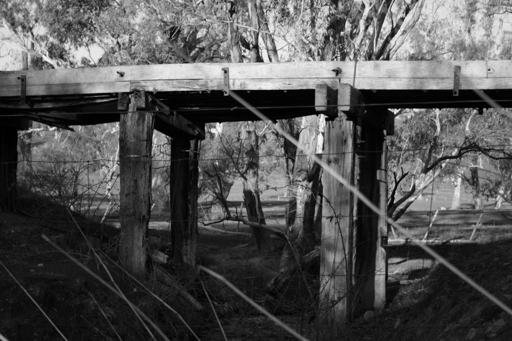
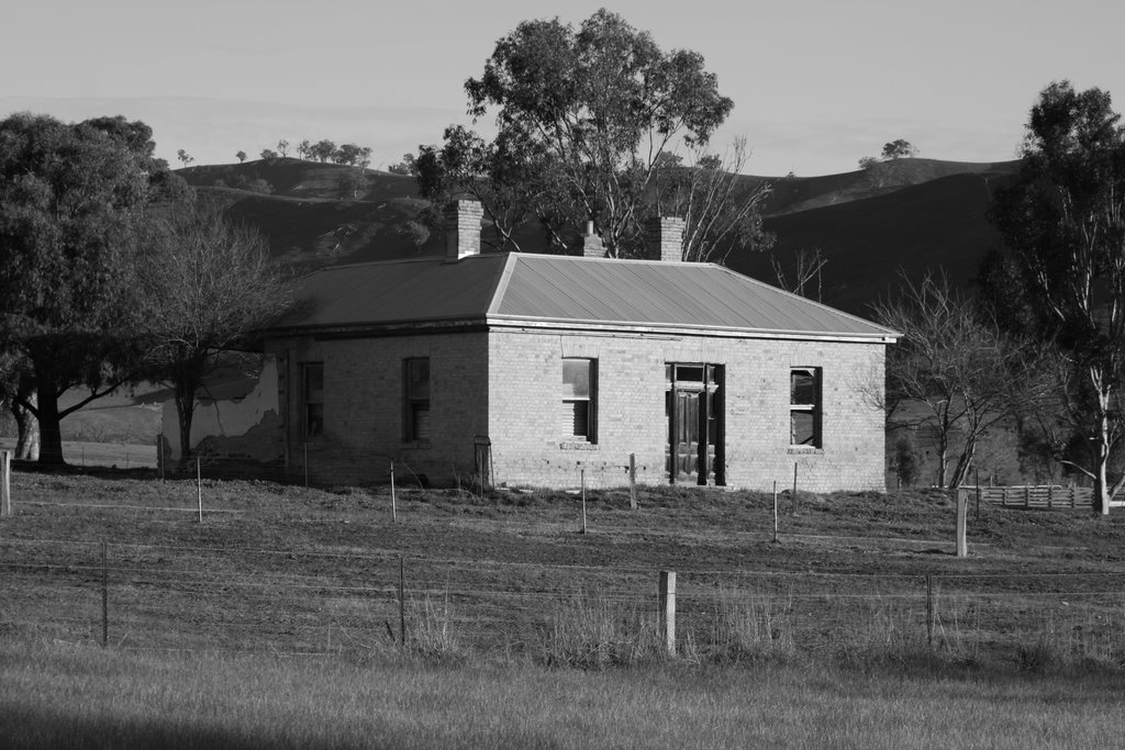
Photos of Woodfield
Woodfield Weather

Predicción: Moderate rain
Temperatura: 8.8°
Humedad: 92%
Hora actual: 01:05 AM
Amanece: 06:44 AM
Anochece: 05:48 PM


