Distance between  Muntadgin and
  Yacka
Yacka
1,161.57 mi Straight Distance
1,410.22 mi Driving Distance
22 hours 36 mins Estimated Driving Time
The straight distance between Muntadgin (Western Australia) and Yacka (South Australia) is 1,161.57 mi, but the driving distance is 1,410.22 mi.
It takes to go from Muntadgin to Yacka.
Driving directions from Muntadgin to Yacka
Distance in kilometers
Straight distance: 1,868.96 km. Route distance: 2,269.04 km
Muntadgin, Australia
Latitude: -31.7596 // Longitude: 118.56
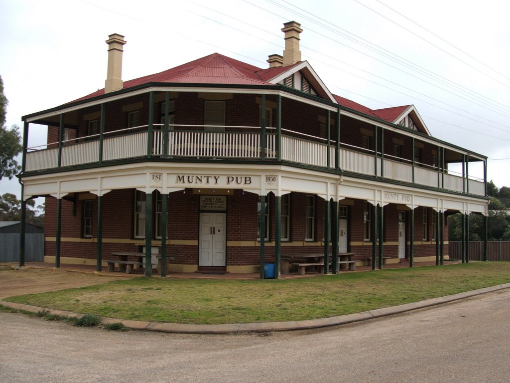
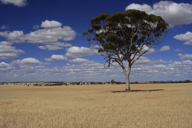
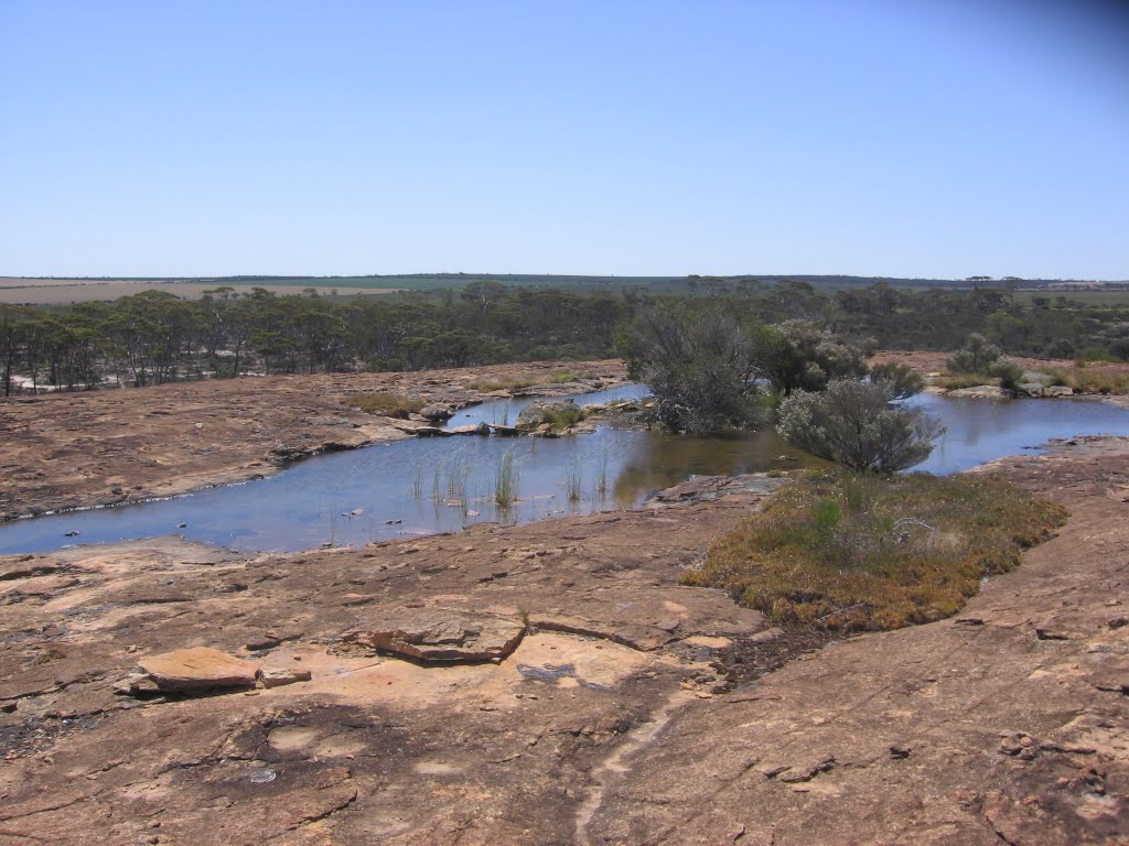
Photos of Muntadgin
Muntadgin Weather

Predicción: Clear sky
Temperatura: 20.0°
Humedad: 42%
Hora actual: 12:00 AM
Amanece: 10:27 PM
Anochece: 09:43 AM
Yacka, Australia
Latitude: -33.5709 // Longitude: 138.445
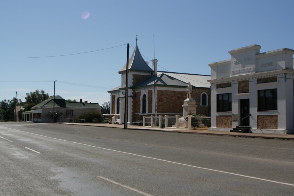
Photos of Yacka
Yacka Weather

Predicción: Clear sky
Temperatura: 15.0°
Humedad: 72%
Hora actual: 12:00 AM
Amanece: 09:09 PM
Anochece: 08:21 AM


