Distance between  Mungindi and
  Leadville
216.92 mi Straight Distance
290.23 mi Driving Distance
4 hours 52 mins Estimated Driving Time
The straight distance between Mungindi (Queensland) and Leadville (New South Wales) is 216.92 mi, but the driving distance is 290.23 mi.
It takes 5 hours 23 mins to go from Mungindi to Leadville.
Driving directions from Mungindi to Leadville
Distance in kilometers
Straight distance: 349.03 km. Route distance: 466.98 km
Mungindi, Australia
Latitude: -28.9463 // Longitude: 148.783
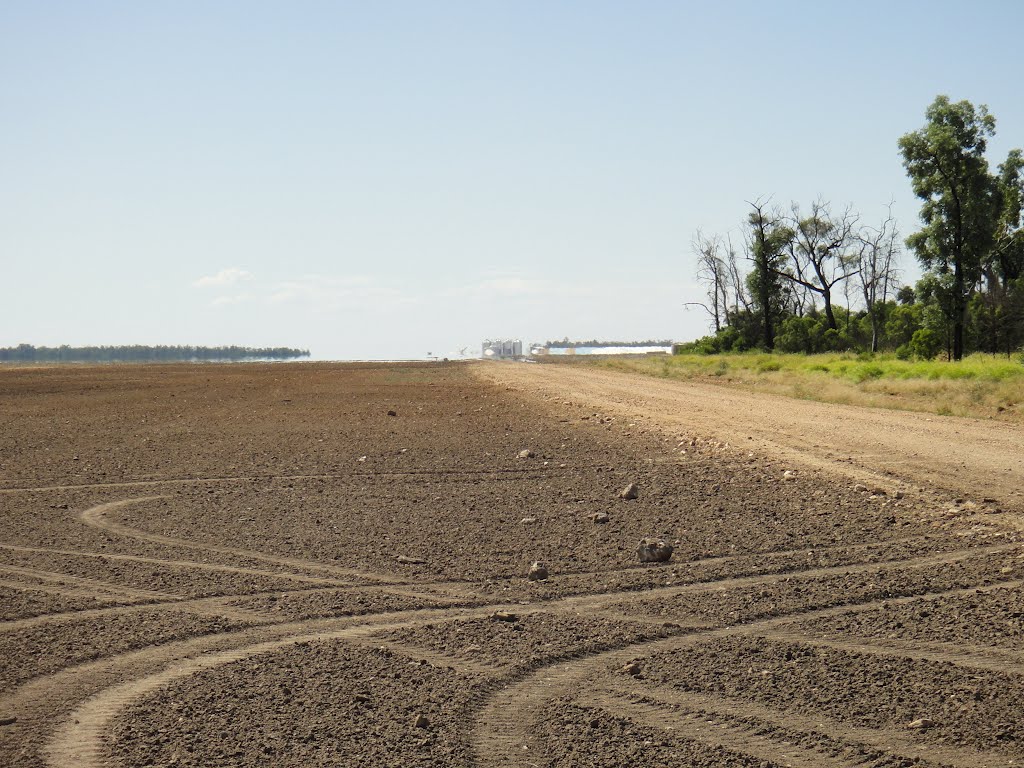
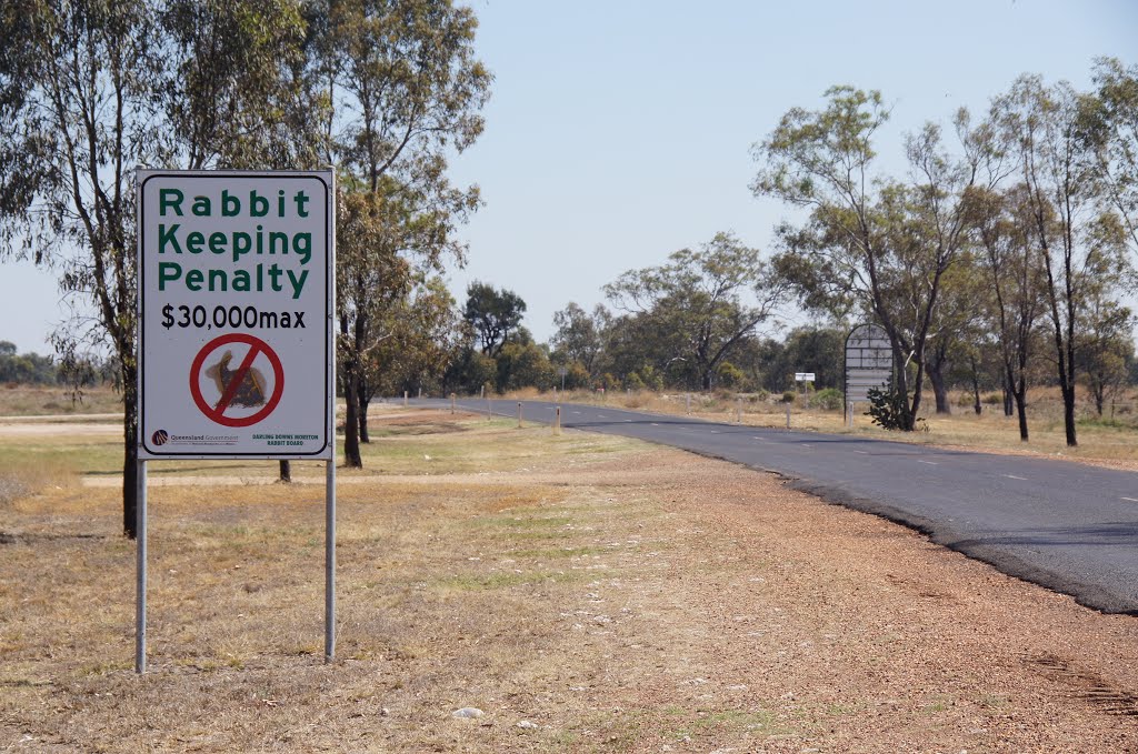
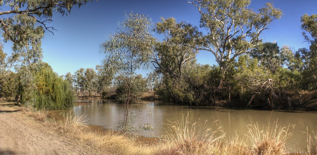
Photos of Mungindi
Mungindi Weather

Predicción: Clear sky
Temperatura: 20.1°
Humedad: 36%
Hora actual: 12:00 AM
Amanece: 08:25 PM
Anochece: 07:42 AM
Leadville, Australia
Latitude: -32.015 // Longitude: 149.553
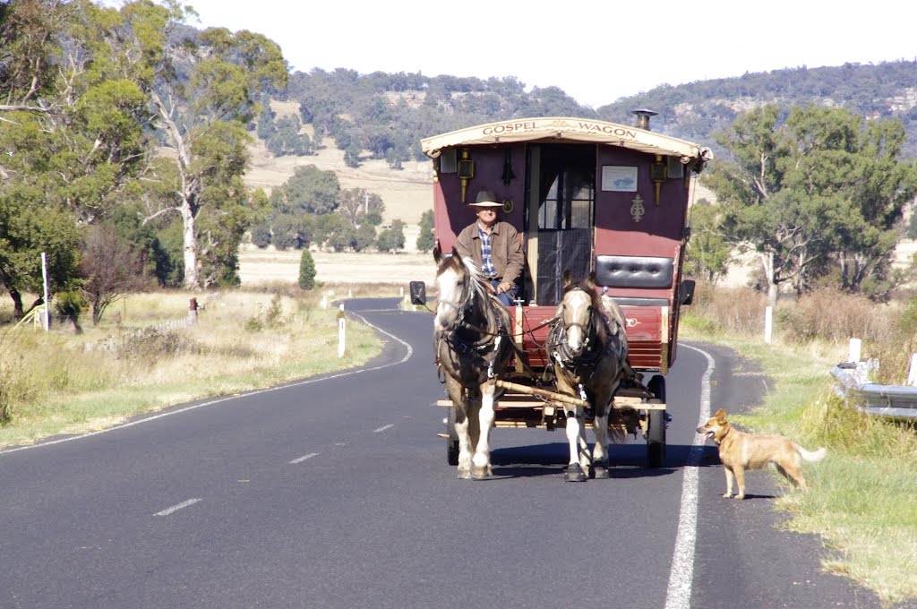
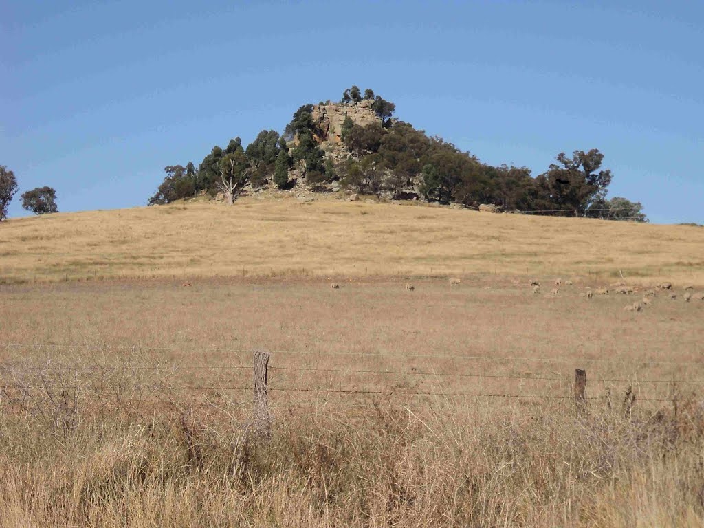
Photos of Leadville
Leadville Weather

Predicción: Overcast clouds
Temperatura: 17.5°
Humedad: 38%
Hora actual: 12:00 AM
Amanece: 08:25 PM
Anochece: 07:35 AM


