
Distance between  Mundrabilla and
  Albany
635.69 mi Straight Distance
796.06 mi Driving Distance
12 hours 54 mins Estimated Driving Time
The straight distance between Mundrabilla (Western Australia) and Albany (Western Australia) is 635.69 mi, but the driving distance is 796.06 mi.
It takes 13 hours 19 mins to go from Mundrabilla to Albany.
Driving directions from Mundrabilla to Albany
Distance in kilometers
Straight distance: 1,022.83 km. Route distance: 1,280.86 km
Mundrabilla, Australia
Latitude: -31.8184 // Longitude: 128.225
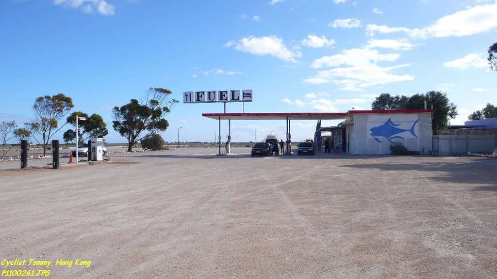
Photos of Mundrabilla


Mundrabilla Weather

Predicción: Clear sky
Temperatura: 19.9°
Humedad: 47%
Hora actual: 12:00 AM
Amanece: 09:50 PM
Anochece: 09:02 AM
Albany, Australia
Latitude: -35.0238 // Longitude: 117.885
Photos of Albany


Albany Weather

Predicción: Broken clouds
Temperatura: 21.1°
Humedad: 79%
Hora actual: 10:36 AM
Amanece: 06:34 AM
Anochece: 05:40 PM


