Distance between  Mullumbimby and
  Kyalite
735.34 mi Straight Distance
932.58 mi Driving Distance
16 hours 0 mins Estimated Driving Time
The straight distance between Mullumbimby (New South Wales) and Kyalite (New South Wales) is 735.34 mi, but the driving distance is 932.58 mi.
It takes to go from Mullumbimby to Kyalite.
Driving directions from Mullumbimby to Kyalite
Distance in kilometers
Straight distance: 1,183.16 km. Route distance: 1,500.52 km
Mullumbimby, Australia
Latitude: -28.5534 // Longitude: 153.5
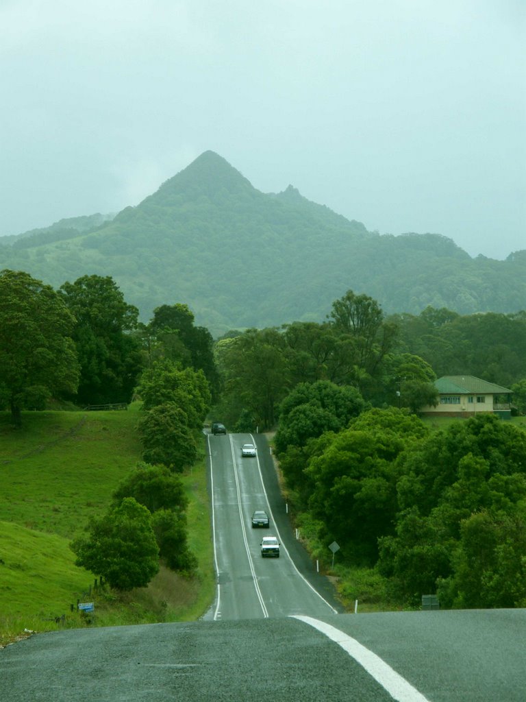
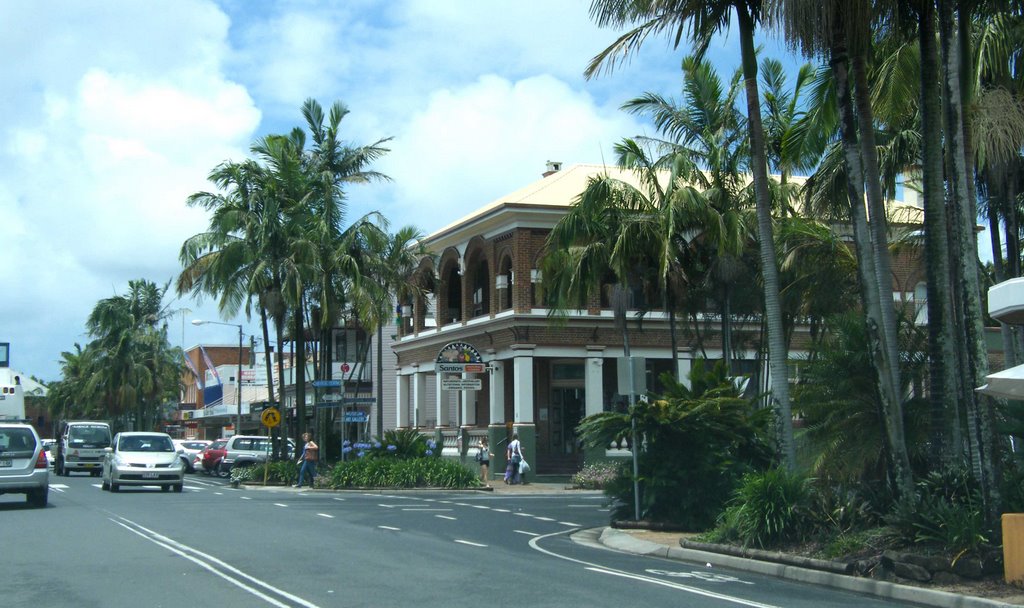
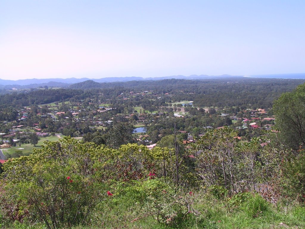
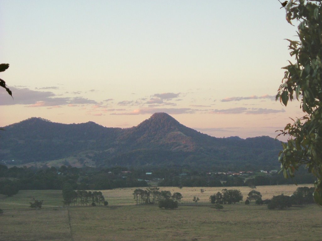
Photos of Mullumbimby
Mullumbimby Weather

Predicción: Clear sky
Temperatura: 23.8°
Humedad: 48%
Hora actual: 12:14 PM
Amanece: 06:06 AM
Anochece: 05:24 PM
Kyalite, Australia
Latitude: -34.9496 // Longitude: 143.482
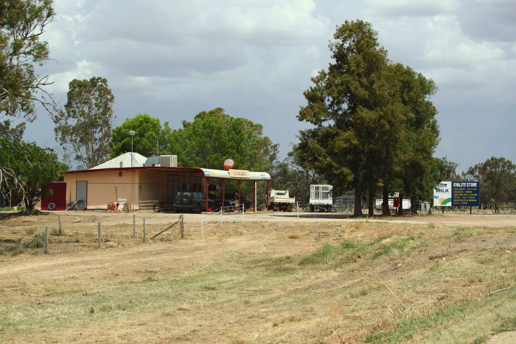
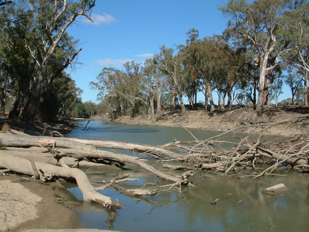
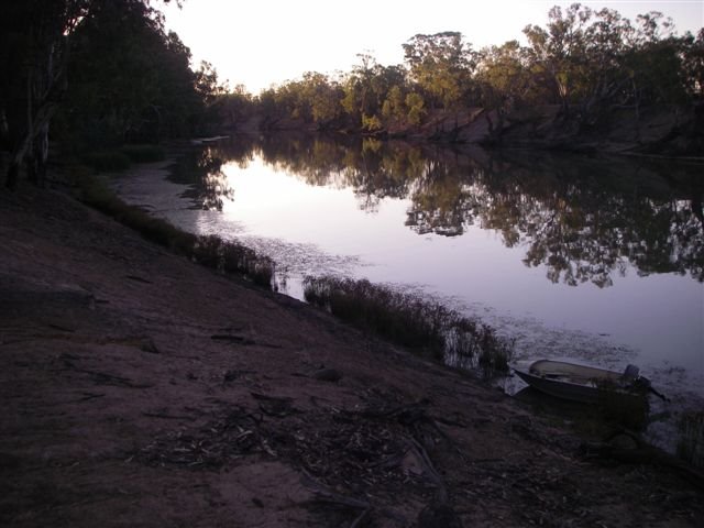
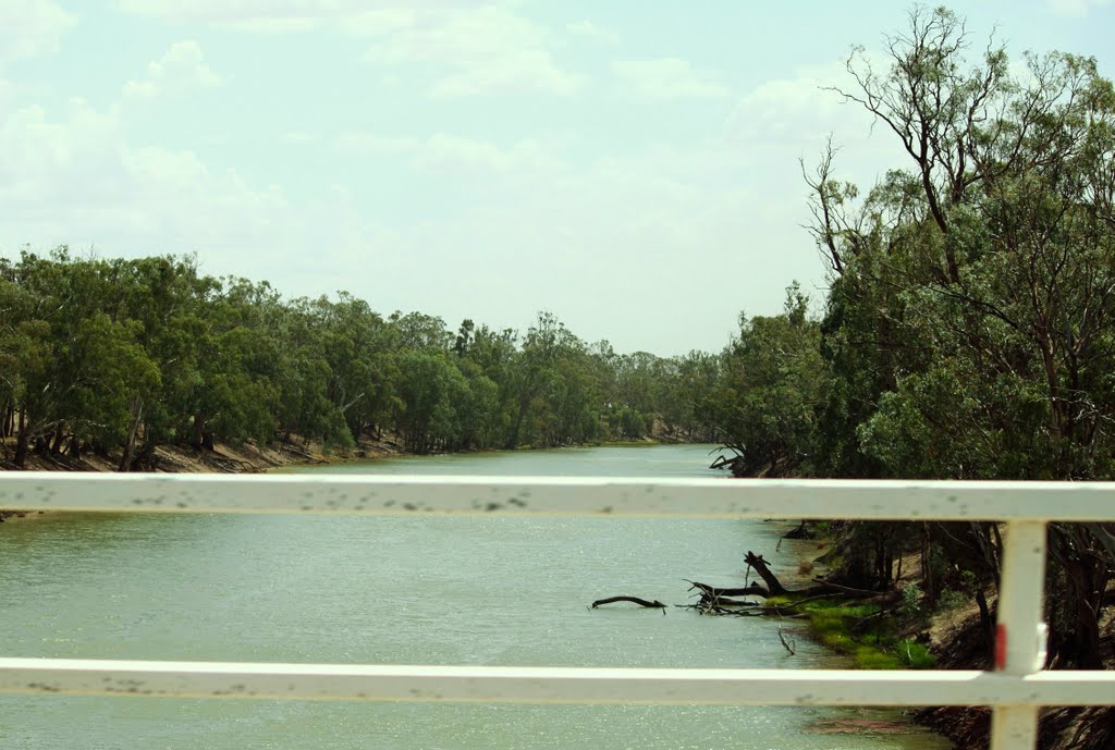
Photos of Kyalite
Kyalite Weather

Predicción: Clear sky
Temperatura: 18.9°
Humedad: 38%
Hora actual: 10:00 AM
Amanece: 06:53 AM
Anochece: 05:57 PM


