Distance between  Mullengandra and
  Moolpa
201.86 mi Straight Distance
237.37 mi Driving Distance
3 hours 56 mins Estimated Driving Time
The straight distance between Mullengandra (New South Wales) and Moolpa (New South Wales) is 201.86 mi, but the driving distance is 237.37 mi.
It takes to go from Mullengandra to Moolpa.
Driving directions from Mullengandra to Moolpa
Distance in kilometers
Straight distance: 324.80 km. Route distance: 381.92 km
Mullengandra, Australia
Latitude: -35.8963 // Longitude: 147.167
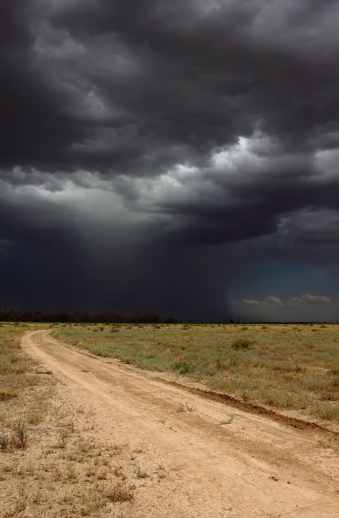
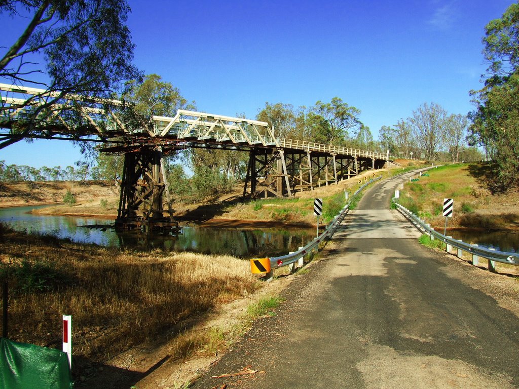
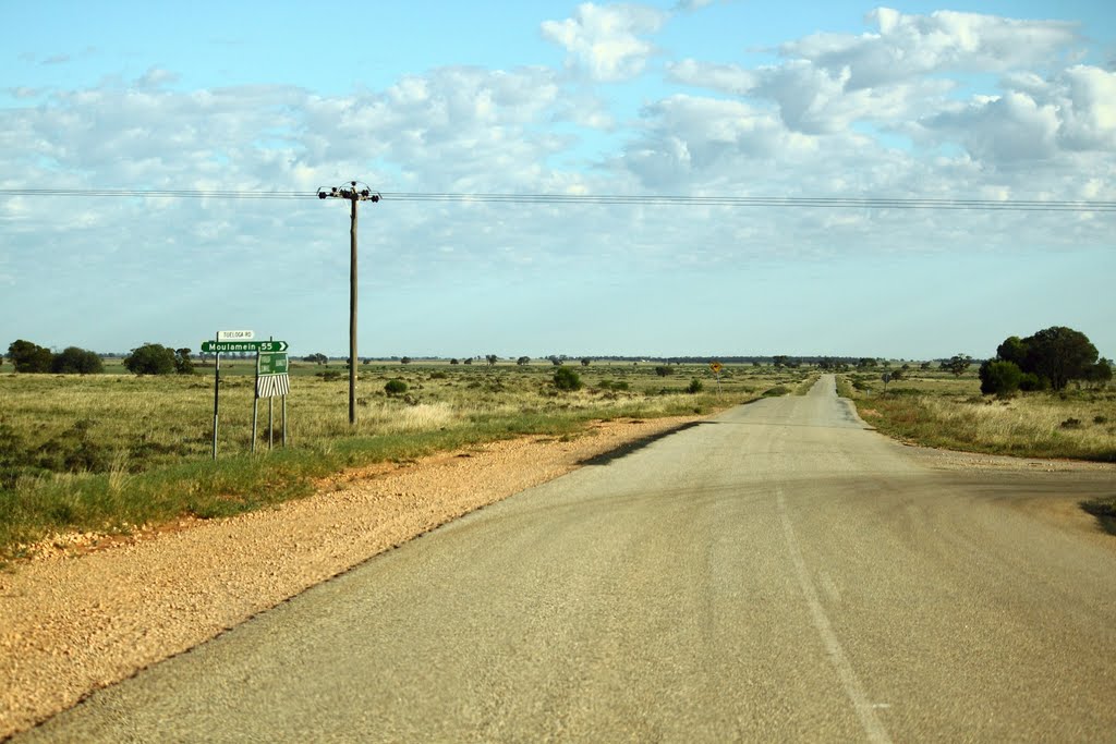
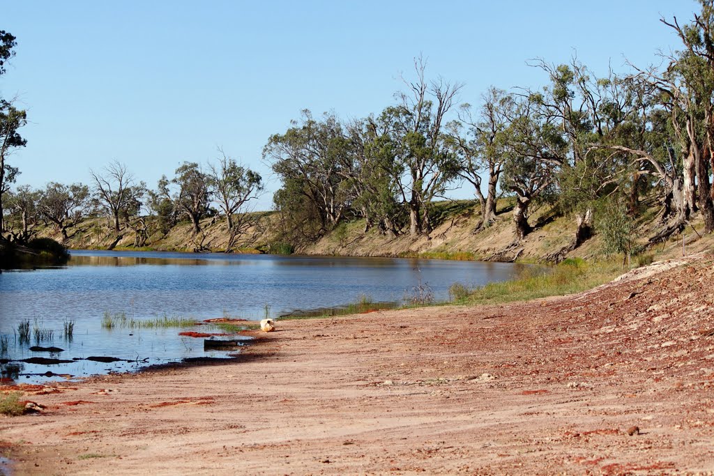
Photos of Mullengandra
Mullengandra Weather

Predicción: Scattered clouds
Temperatura: 12.2°
Humedad: 73%
Hora actual: 12:00 AM
Amanece: 08:38 PM
Anochece: 07:42 AM
Moolpa, Australia
Latitude: -35.0032 // Longitude: 143.752
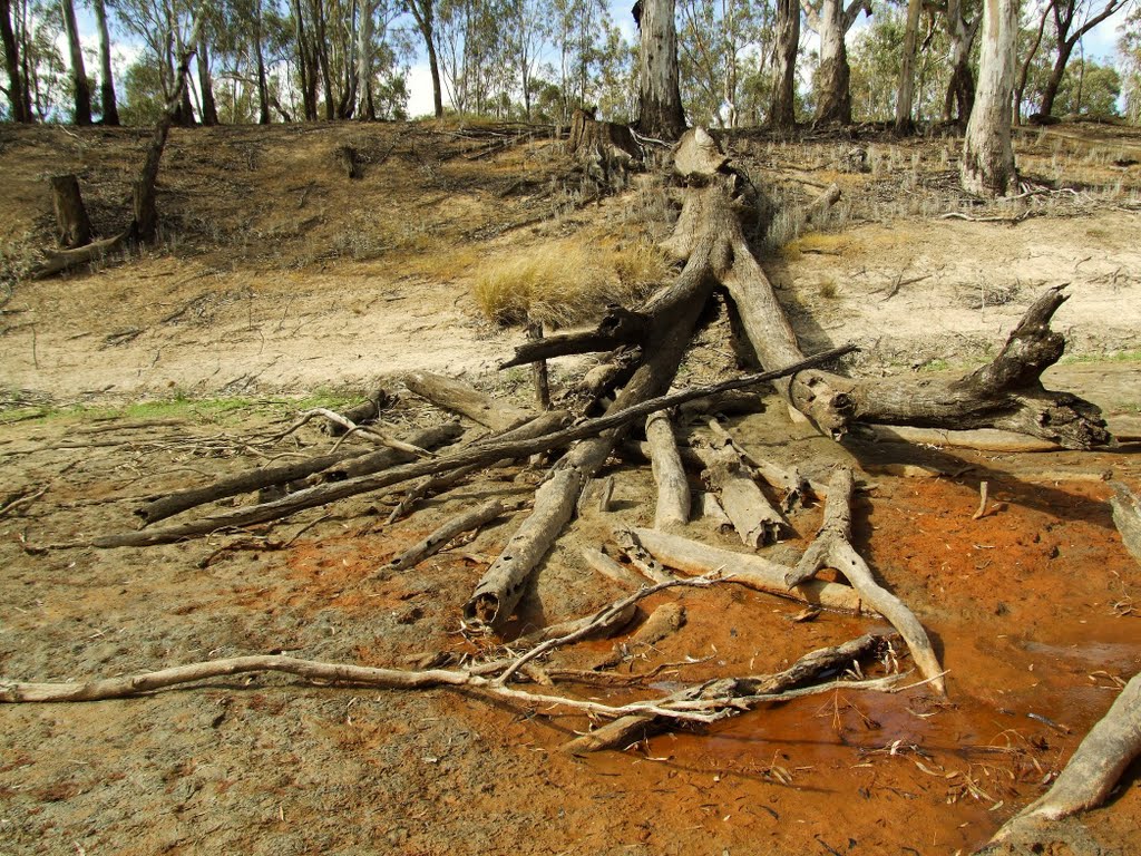
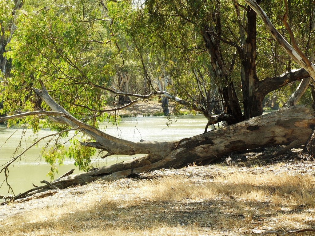
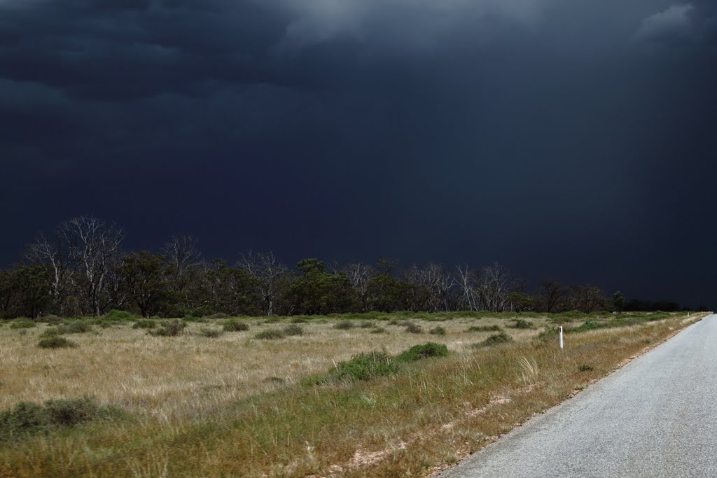
Photos of Moolpa
Moolpa Weather

Predicción: Light rain
Temperatura: 15.4°
Humedad: 63%
Hora actual: 12:00 AM
Amanece: 08:51 PM
Anochece: 07:56 AM


