Distance between  Mt Pleasant and
  Laura
Laura
117.93 mi Straight Distance
136.35 mi Driving Distance
2 hours 27 mins Estimated Driving Time
The straight distance between Mt Pleasant (South Australia) and Laura (South Australia) is 117.93 mi, but the driving distance is 136.35 mi.
It takes 2 days 14 hours to go from Mt Pleasant to Laura.
Driving directions from Mt Pleasant to Laura
Distance in kilometers
Straight distance: 189.75 km. Route distance: 219.38 km
Mt Pleasant, Australia
Latitude: -34.7748 // Longitude: 139.05
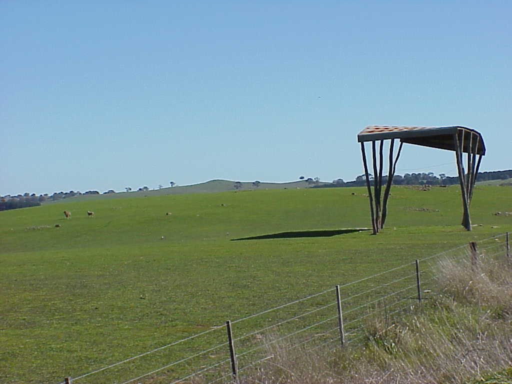
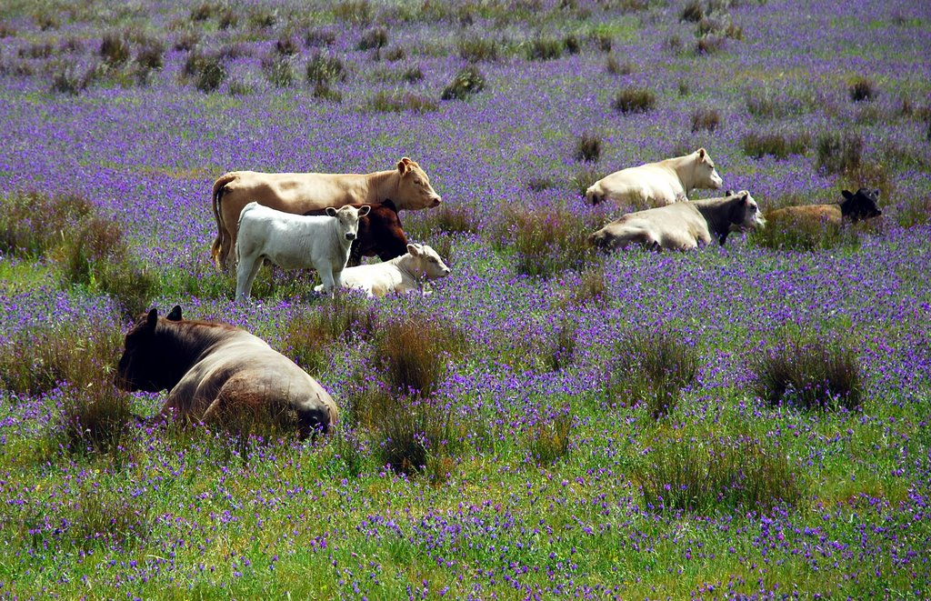
Photos of Mt Pleasant
Mt Pleasant Weather

Predicción: Clear sky
Temperatura: 19.1°
Humedad: 39%
Hora actual: 03:32 PM
Amanece: 06:38 AM
Anochece: 05:48 PM
Laura, Australia
Latitude: -33.185 // Longitude: 138.301
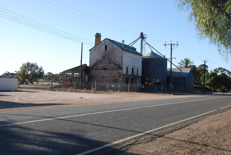
Photos of Laura
Laura Weather

Predicción: Clear sky
Temperatura: 22.6°
Humedad: 35%
Hora actual: 03:32 PM
Amanece: 06:39 AM
Anochece: 05:53 PM


