Distance between  Mt Magnet and
  Jarrahwood
416.46 mi Straight Distance
505.69 mi Driving Distance
7 hours 53 mins Estimated Driving Time
The straight distance between Mt Magnet (Western Australia) and Jarrahwood (Western Australia) is 416.46 mi, but the driving distance is 505.69 mi.
It takes to go from Mt Magnet to Jarrahwood.
Driving directions from Mt Magnet to Jarrahwood
Distance in kilometers
Straight distance: 670.08 km. Route distance: 813.65 km
Mt Magnet, Australia
Latitude: -28.0652 // Longitude: 117.848
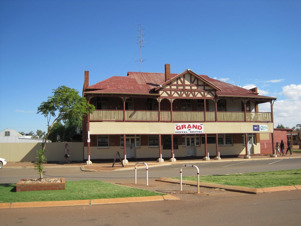
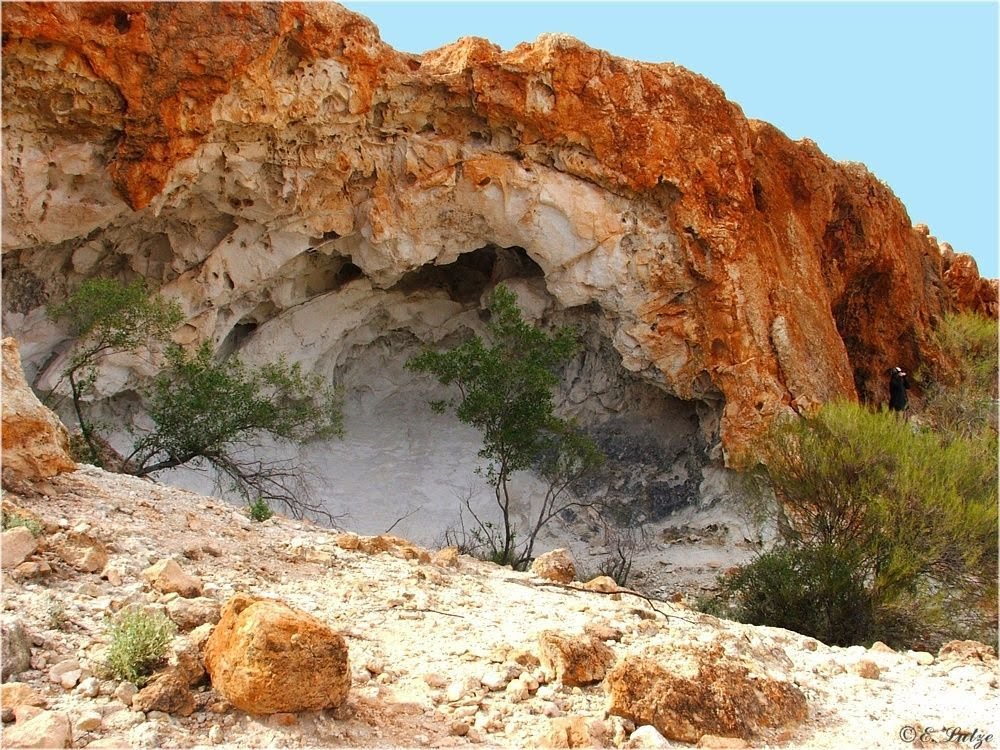
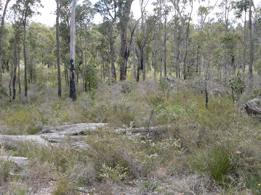
Photos of Mt Magnet
Mt Magnet Weather

Predicción: Few clouds
Temperatura: 23.4°
Humedad: 35%
Hora actual: 01:38 AM
Amanece: 06:27 AM
Anochece: 05:48 PM
Jarrahwood, Australia
Latitude: -33.7944 // Longitude: 115.663
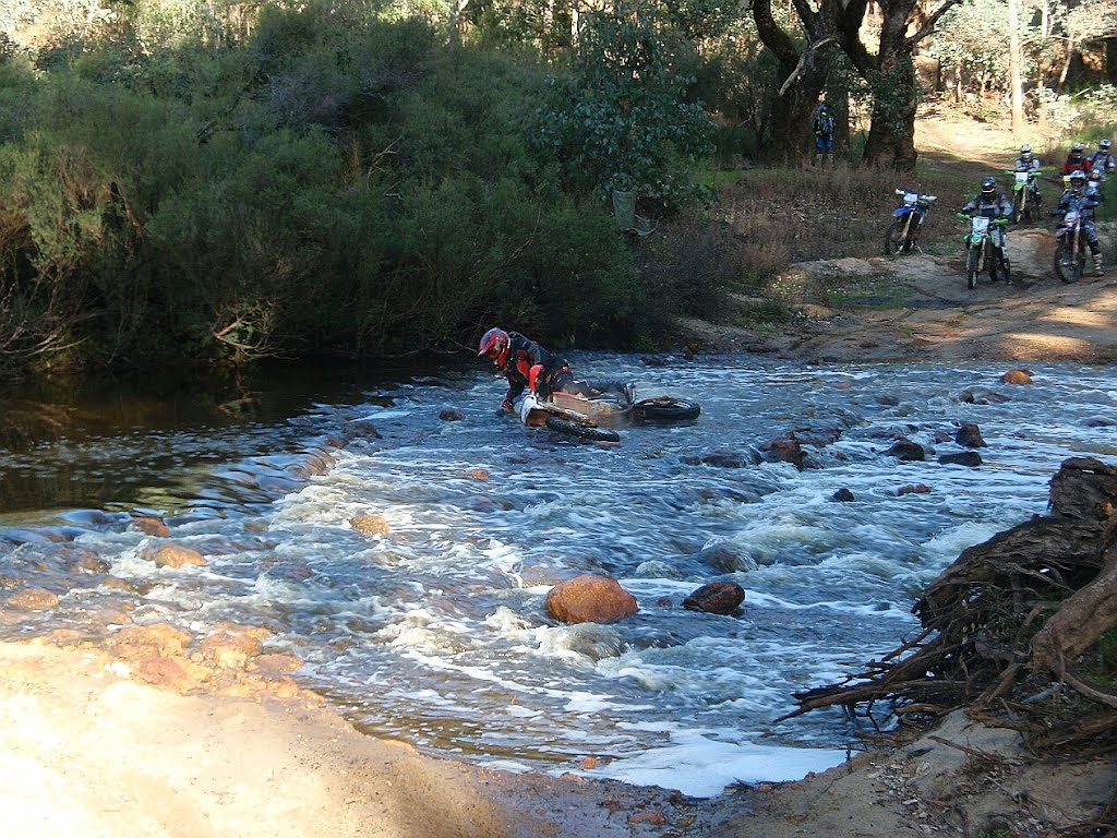
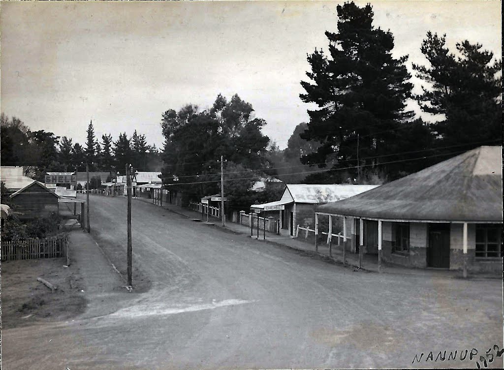
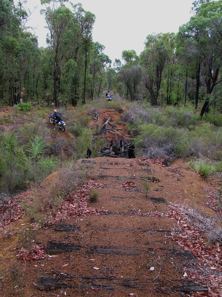
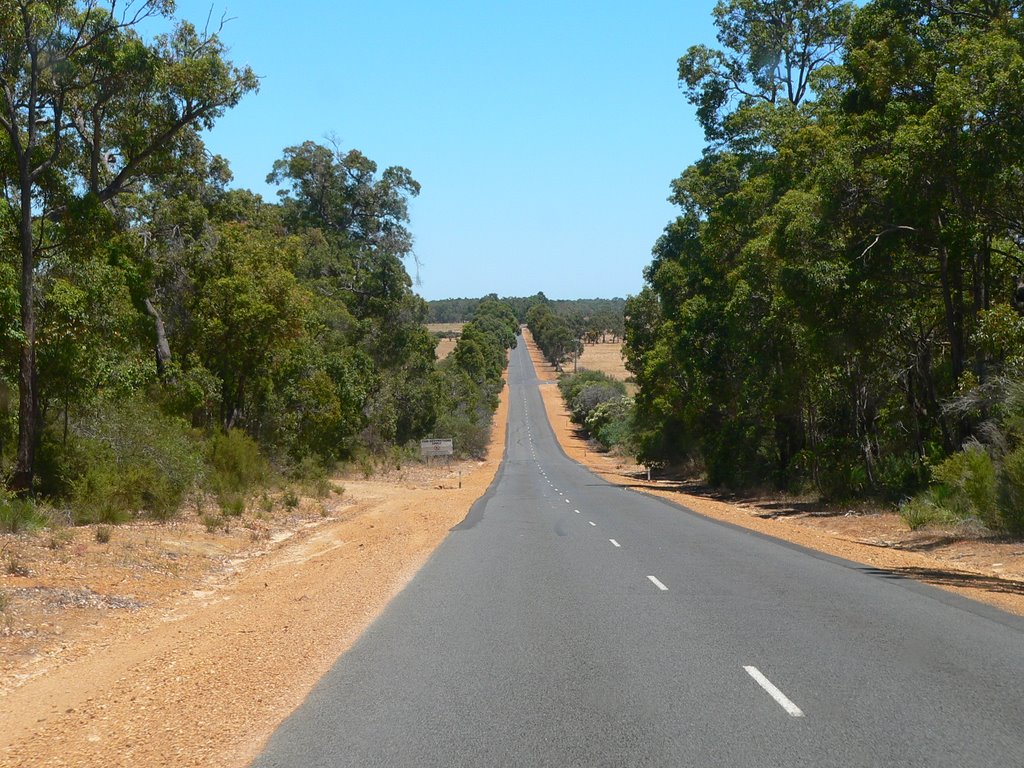
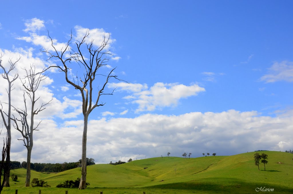
Photos of Jarrahwood
Jarrahwood Weather

Predicción: Few clouds
Temperatura: 18.7°
Humedad: 69%
Hora actual: 08:00 AM
Amanece: 06:41 AM
Anochece: 05:51 PM


