Distance between  Mt Larcom and
  Hendon
300.77 mi Straight Distance
391.98 mi Driving Distance
7 hours 31 mins Estimated Driving Time
The straight distance between Mt Larcom (Queensland) and Hendon (Queensland) is 300.77 mi, but the driving distance is 391.98 mi.
It takes to go from Mt Larcom to Hendon.
Driving directions from Mt Larcom to Hendon
Distance in kilometers
Straight distance: 483.94 km. Route distance: 630.70 km
Mt Larcom, Australia
Latitude: -23.8105 // Longitude: 150.979
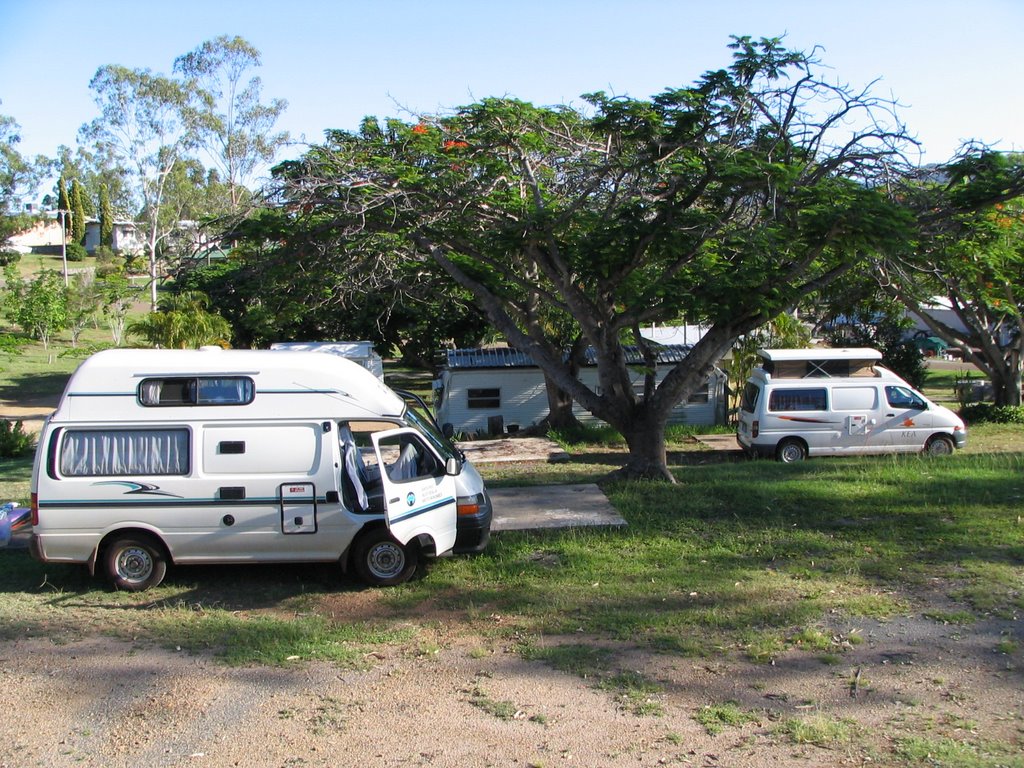
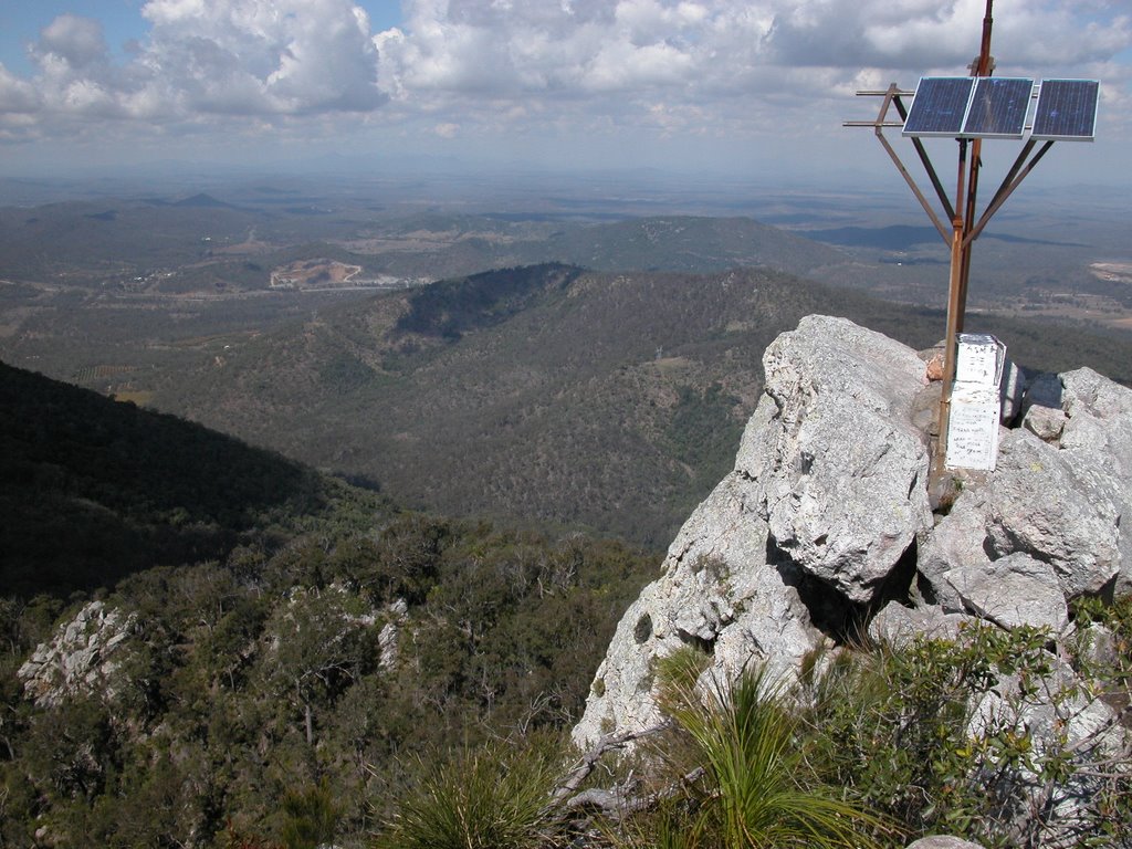
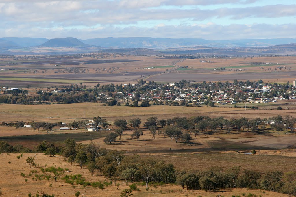
Photos of Mt Larcom
Mt Larcom Weather

Predicción: Overcast clouds
Temperatura: 27.7°
Humedad: 46%
Hora actual: 12:00 AM
Amanece: 08:11 PM
Anochece: 07:38 AM
Hendon, Australia
Latitude: -28.0739 // Longitude: 151.957
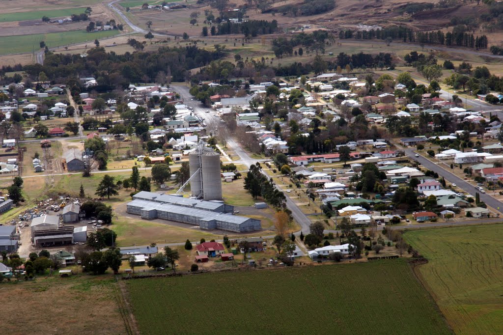
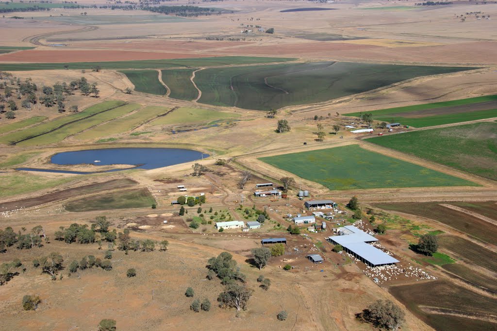
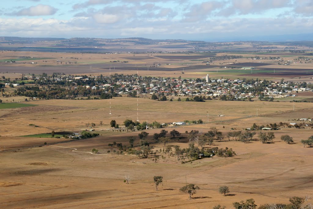
Photos of Hendon
Hendon Weather

Predicción: Clear sky
Temperatura: 21.9°
Humedad: 37%
Hora actual: 11:19 AM
Amanece: 06:11 AM
Anochece: 05:30 PM


