Distance between  Mt Burges and
  Bejoording
275.85 mi Straight Distance
317.31 mi Driving Distance
5 hours 18 mins Estimated Driving Time
The straight distance between Mt Burges (Western Australia) and Bejoording (Western Australia) is 275.85 mi, but the driving distance is 317.31 mi.
It takes 7 hours 40 mins to go from Mt Burges to Bejoording.
Driving directions from Mt Burges to Bejoording
Distance in kilometers
Straight distance: 443.84 km. Route distance: 510.55 km
Mt Burges, Australia
Latitude: -30.8418 // Longitude: 121.151
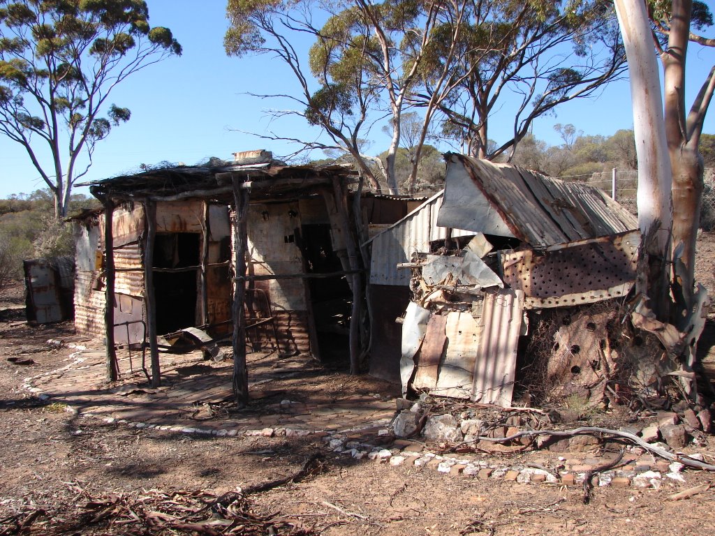
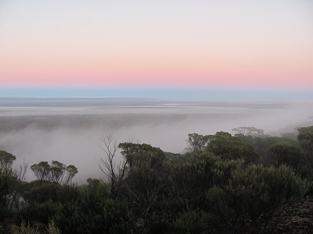
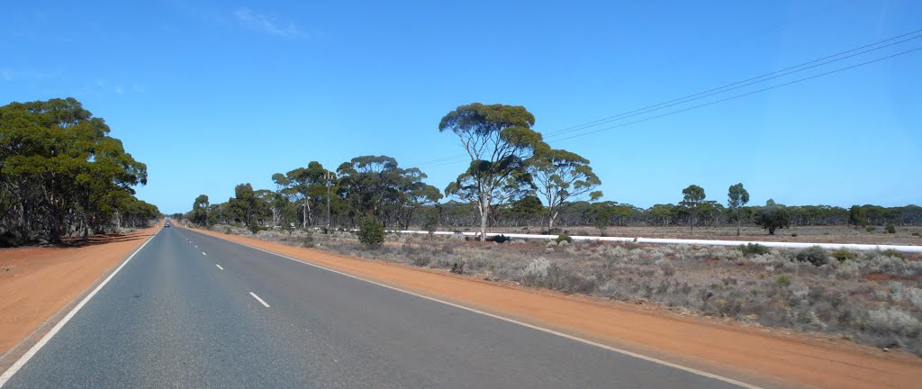
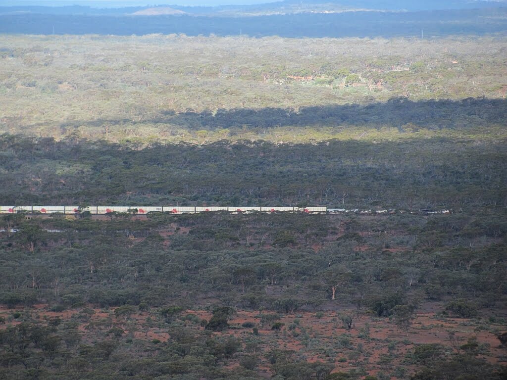
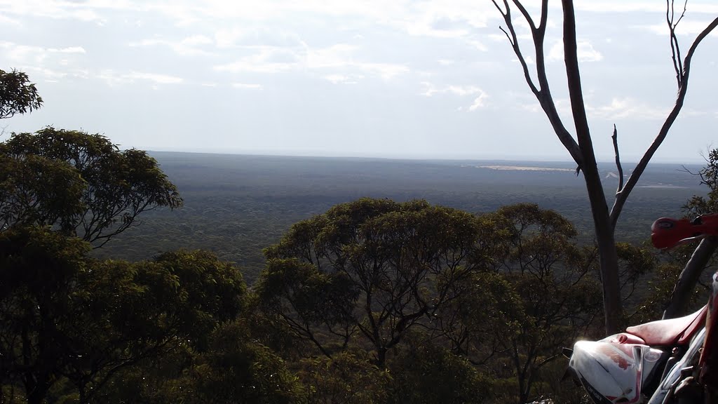
Photos of Mt Burges
Mt Burges Weather

Predicción: Clear sky
Temperatura: 25.9°
Humedad: 34%
Hora actual: 12:00 AM
Amanece: 10:16 PM
Anochece: 09:33 AM
Bejoording, Australia
Latitude: -31.3866 // Longitude: 116.531
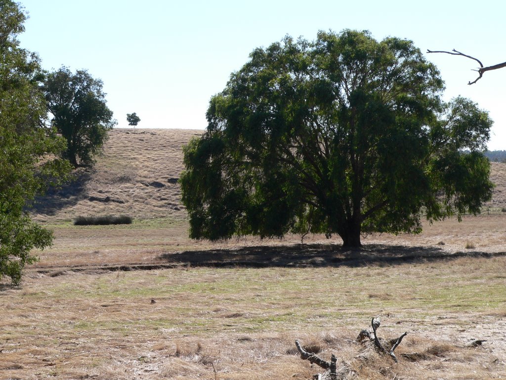
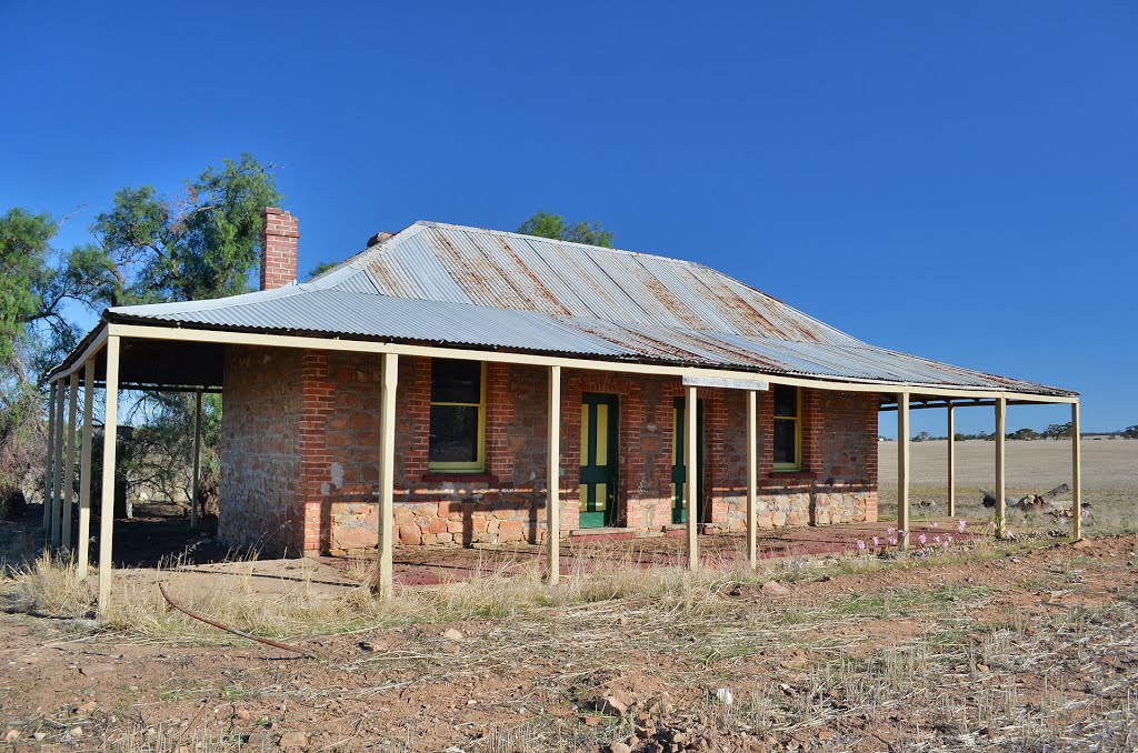
Photos of Bejoording
Bejoording Weather

Predicción: Clear sky
Temperatura: 27.7°
Humedad: 27%
Hora actual: 12:00 AM
Amanece: 10:35 PM
Anochece: 09:51 AM


