Distance between  Mt Barker and
  Mooliabeenee
1,338.66 mi Straight Distance
1,681.52 mi Driving Distance
1 day 2 hours Estimated Driving Time
The straight distance between Mt Barker (South Australia) and Mooliabeenee (Western Australia) is 1,338.66 mi, but the driving distance is 1,681.52 mi.
It takes 1 day 4 hours to go from Mt Barker to Mooliabeenee.
Driving directions from Mt Barker to Mooliabeenee
Distance in kilometers
Straight distance: 2,153.90 km. Route distance: 2,705.57 km
Mt Barker, Australia
Latitude: -35.0672 // Longitude: 138.859
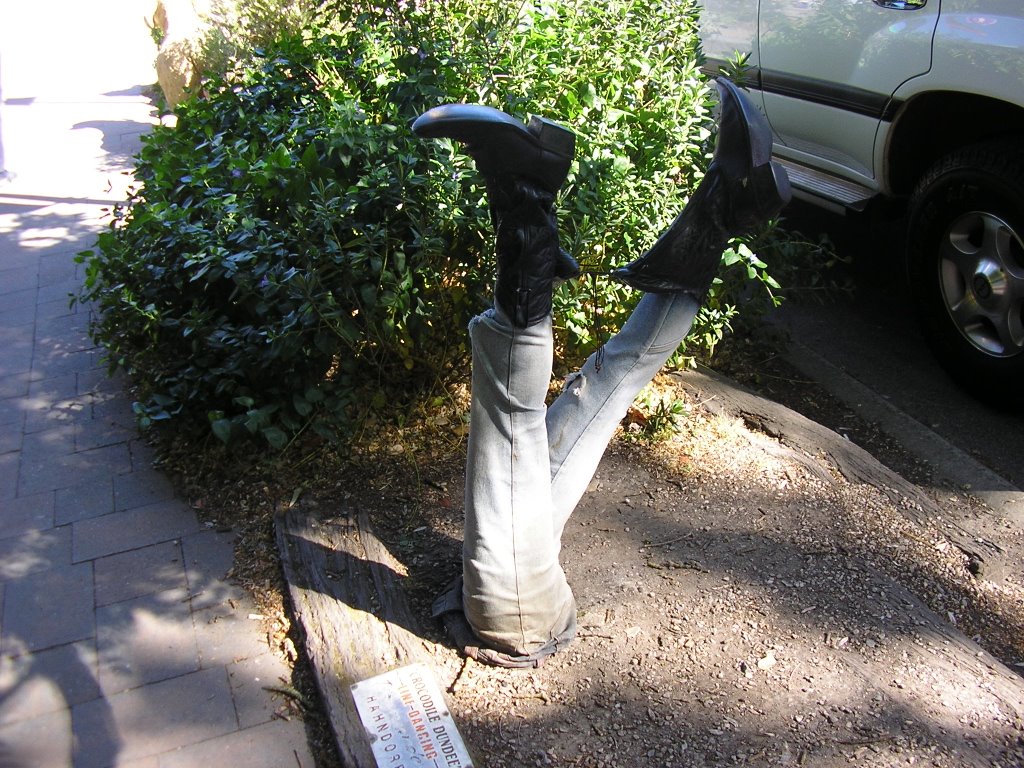
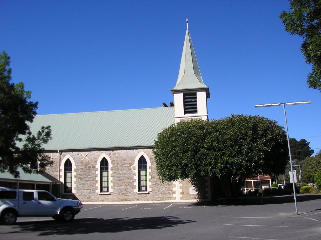
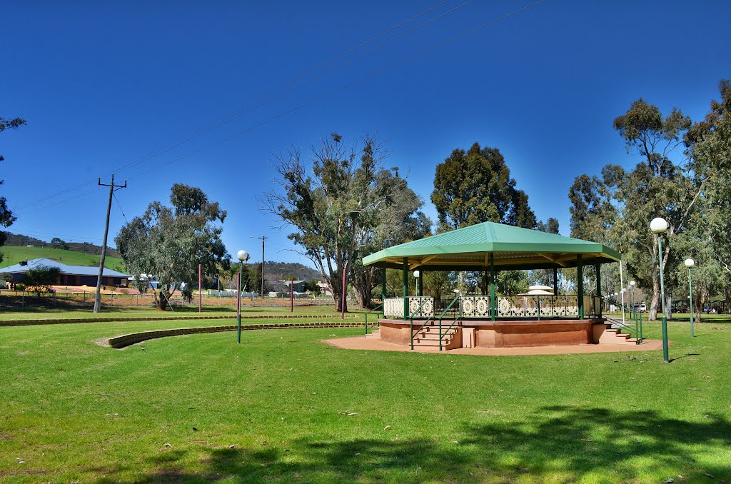
Photos of Mt Barker
Mt Barker Weather

Predicción: Few clouds
Temperatura: 14.7°
Humedad: 67%
Hora actual: 06:49 PM
Amanece: 06:39 AM
Anochece: 05:49 PM
Mooliabeenee, Australia
Latitude: -31.3418 // Longitude: 116.081
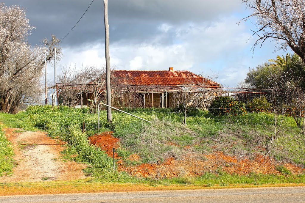
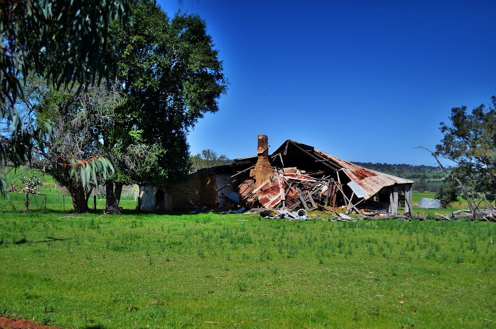
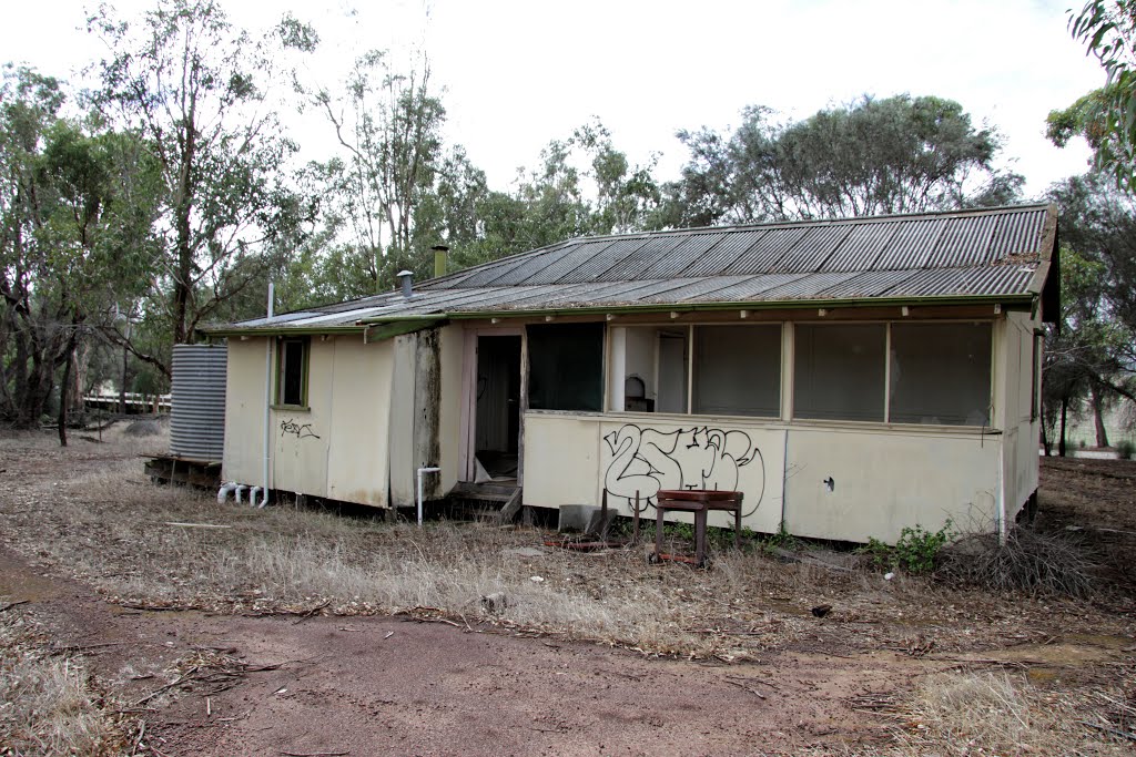
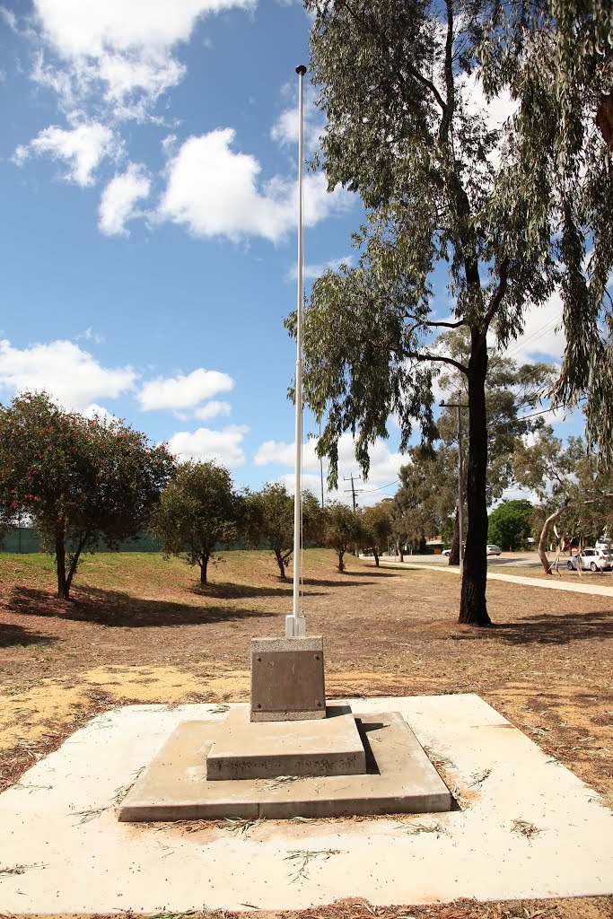
Photos of Mooliabeenee
Mooliabeenee Weather

Predicción: Clear sky
Temperatura: 29.3°
Humedad: 26%
Hora actual: 05:19 PM
Amanece: 06:36 AM
Anochece: 05:53 PM


