Distance between  Mt Barker and
  Byford
1,326.02 mi Straight Distance
1,629.79 mi Driving Distance
1 day 1 hour Estimated Driving Time
The straight distance between Mt Barker (South Australia) and Byford (Western Australia) is 1,326.02 mi, but the driving distance is 1,629.79 mi.
It takes to go from Mt Barker to Byford.
Driving directions from Mt Barker to Byford
Distance in kilometers
Straight distance: 2,133.56 km. Route distance: 2,622.33 km
Mt Barker, Australia
Latitude: -35.0672 // Longitude: 138.859
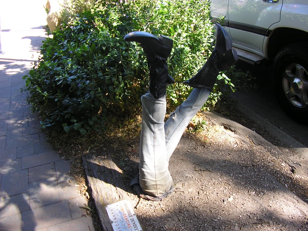
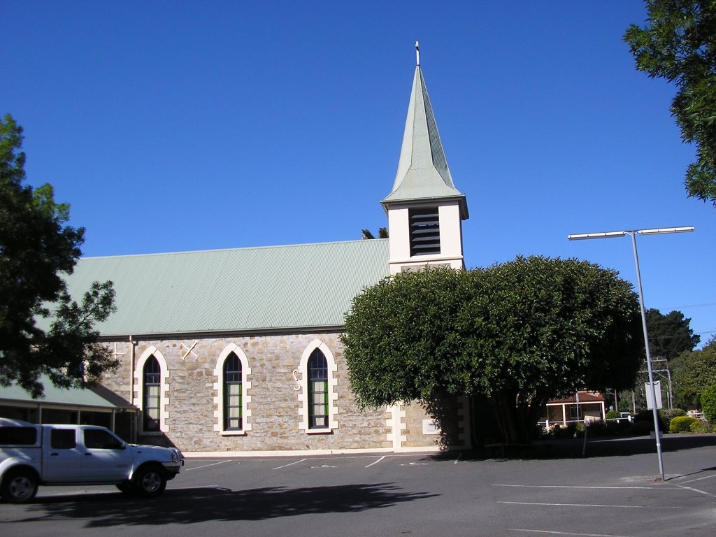
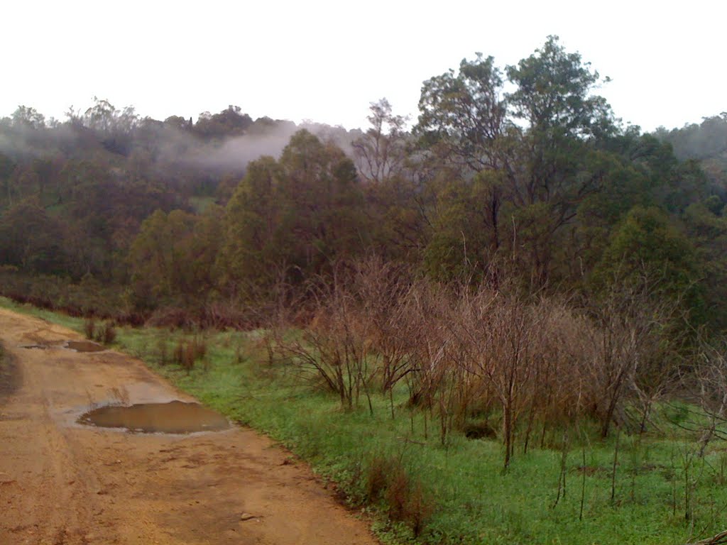
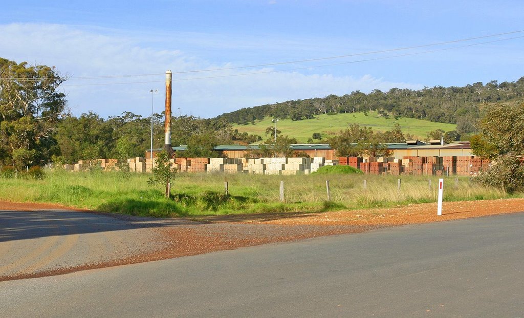
Photos of Mt Barker
Mt Barker Weather

Predicción: Overcast clouds
Temperatura: 9.8°
Humedad: 88%
Hora actual: 05:12 AM
Amanece: 06:40 AM
Anochece: 05:47 PM
Byford, Australia
Latitude: -32.2218 // Longitude: 116.008
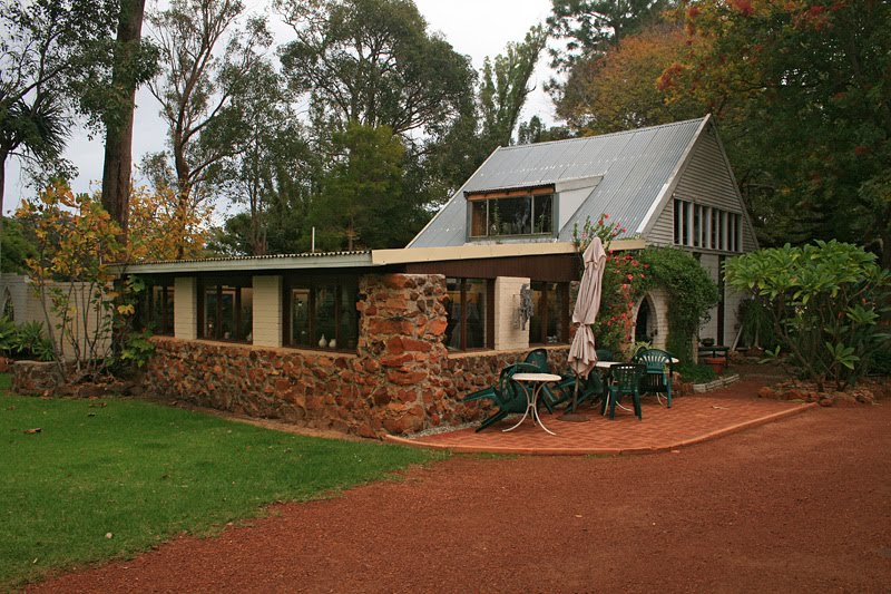
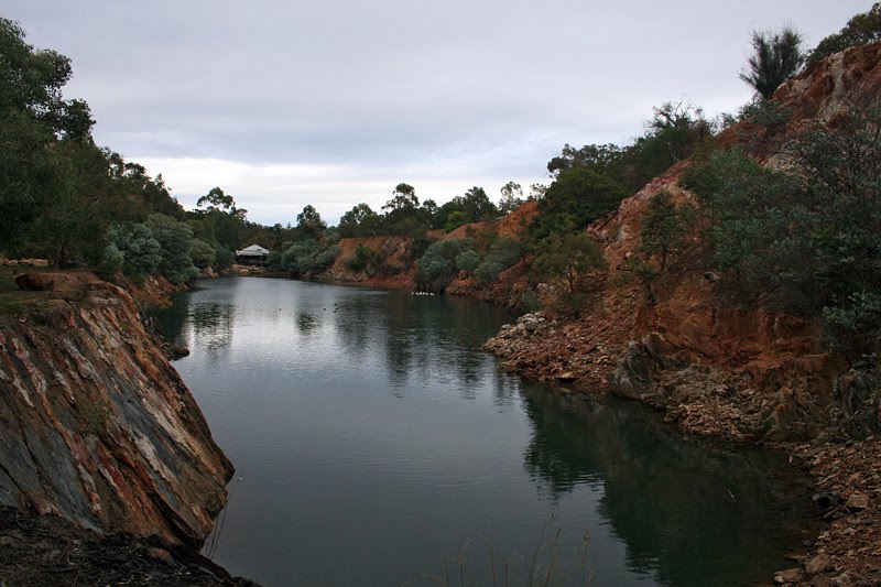
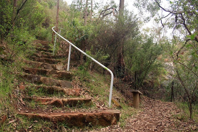
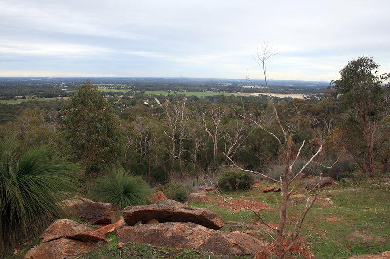
Photos of Byford
Byford Weather

Predicción: Clear sky
Temperatura: 20.3°
Humedad: 51%
Hora actual: 03:42 AM
Amanece: 06:38 AM
Anochece: 05:52 PM


