Distance between  Moyreisk and
  Warrong
107.65 mi Straight Distance
157.24 mi Driving Distance
2 hours 54 mins Estimated Driving Time
The straight distance between Moyreisk (Victoria) and Warrong (Victoria) is 107.65 mi, but the driving distance is 157.24 mi.
It takes to go from Moyreisk to Warrong.
Driving directions from Moyreisk to Warrong
Distance in kilometers
Straight distance: 173.20 km. Route distance: 253.00 km
Moyreisk, Australia
Latitude: -36.8948 // Longitude: 143.38
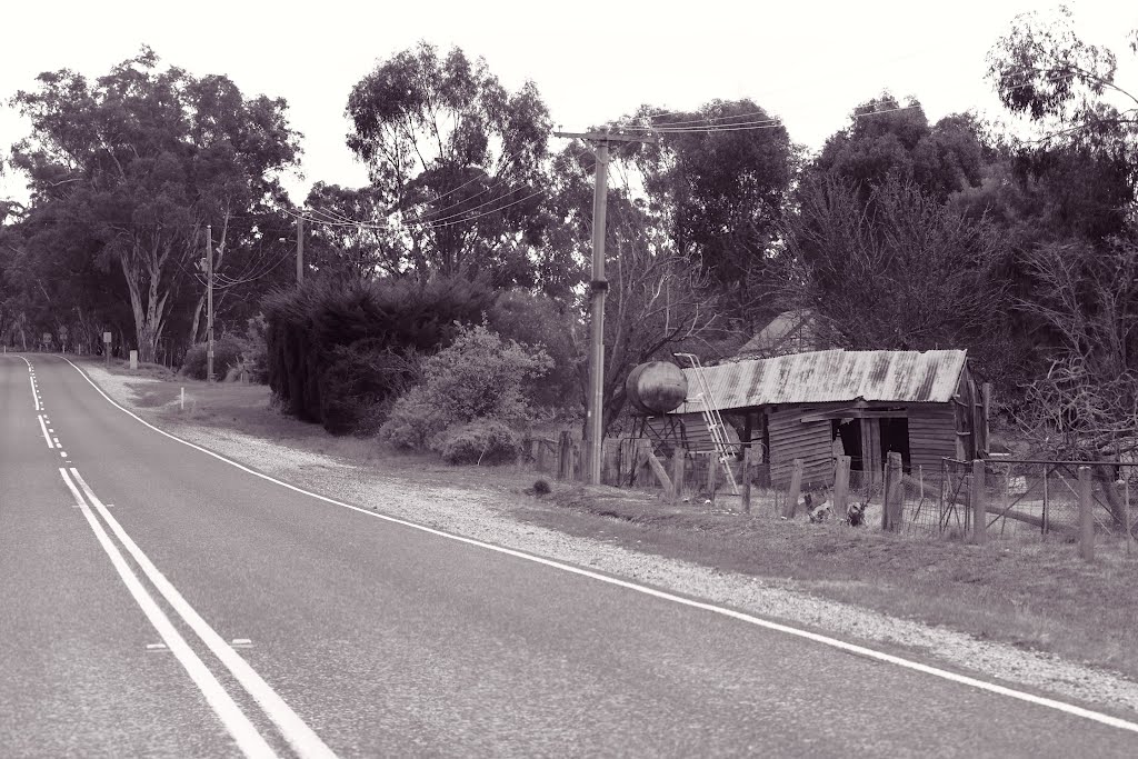
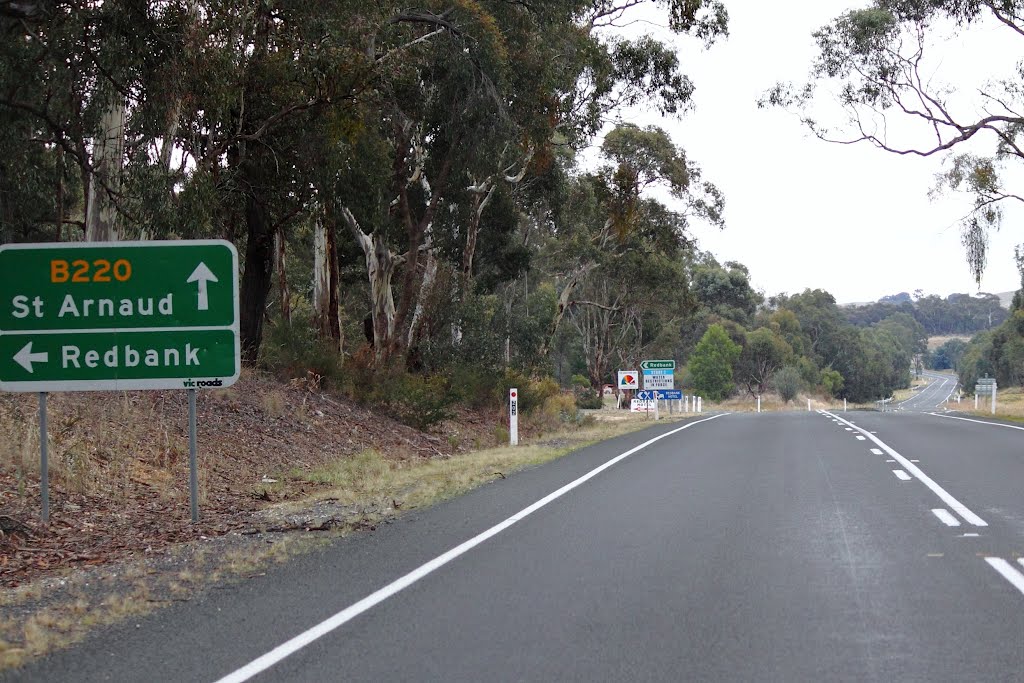
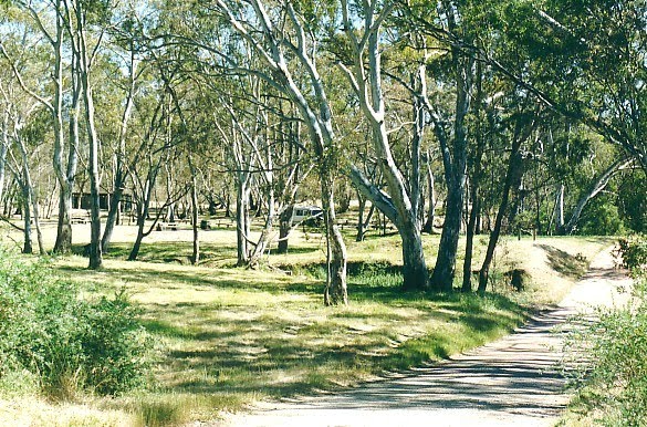
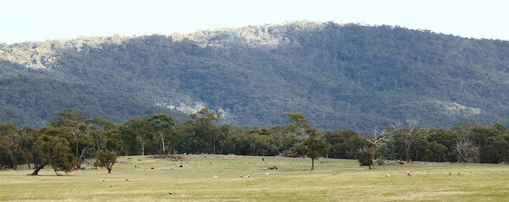
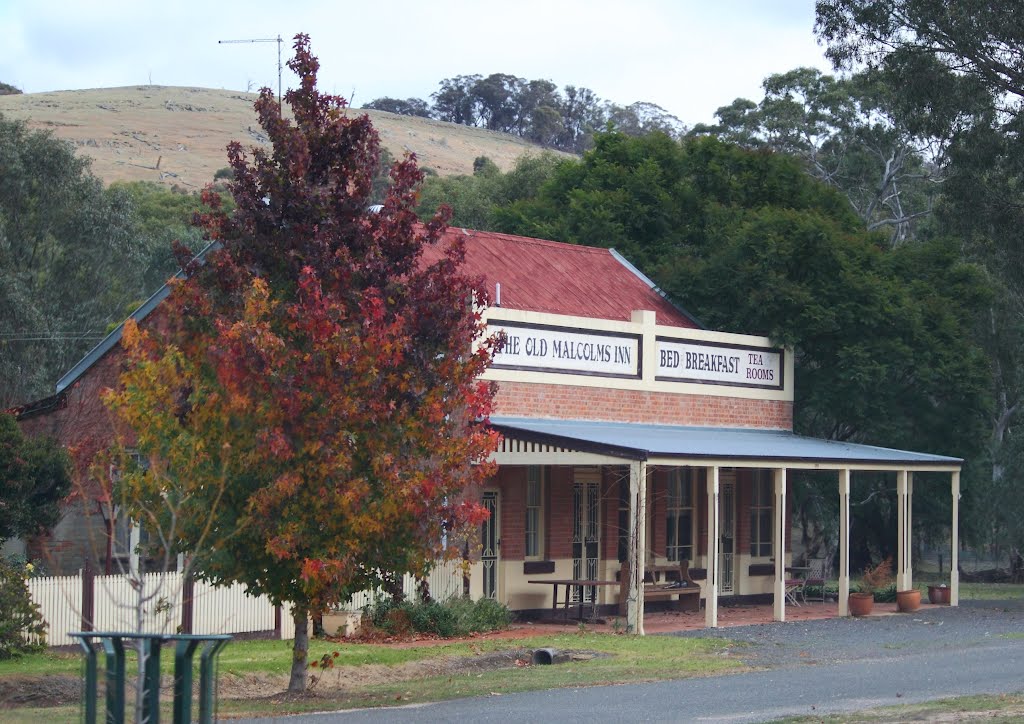
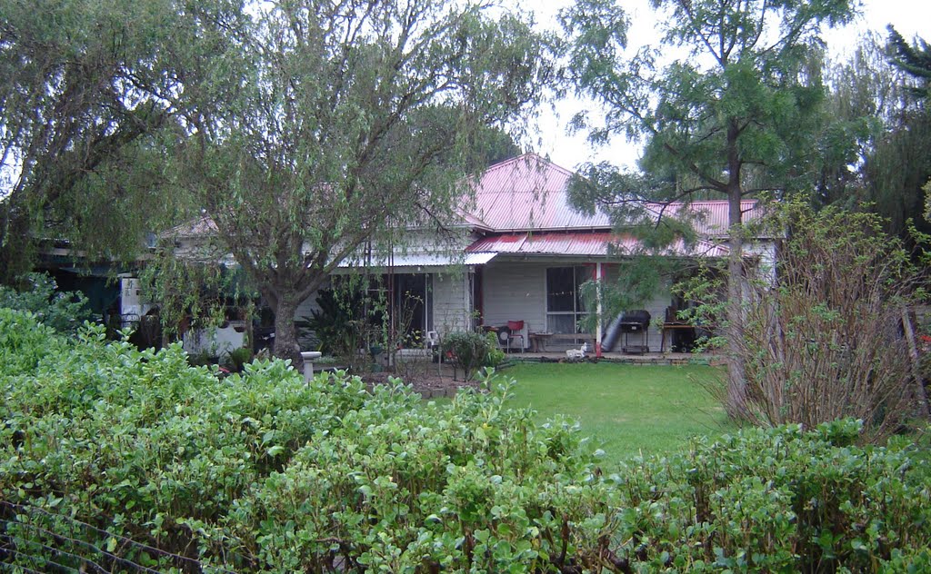
Photos of Moyreisk
Moyreisk Weather

Predicción: Overcast clouds
Temperatura: 17.3°
Humedad: 47%
Hora actual: 12:00 AM
Amanece: 08:54 PM
Anochece: 07:57 AM
Warrong, Australia
Latitude: -38.2047 // Longitude: 142.316
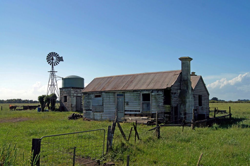
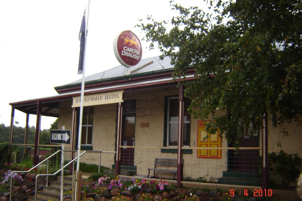
Photos of Warrong
Warrong Weather

Predicción: Overcast clouds
Temperatura: 16.3°
Humedad: 57%
Hora actual: 12:00 AM
Amanece: 09:00 PM
Anochece: 08:00 AM


