Distance between  Moura and
  Memerambi
173.80 mi Straight Distance
276.37 mi Driving Distance
5 hours 26 mins Estimated Driving Time
The straight distance between Moura (Queensland) and Memerambi (Queensland) is 173.80 mi, but the driving distance is 276.37 mi.
It takes to go from Moura to Memerambi.
Driving directions from Moura to Memerambi
Distance in kilometers
Straight distance: 279.64 km. Route distance: 444.68 km
Moura, Australia
Latitude: -24.5717 // Longitude: 149.969
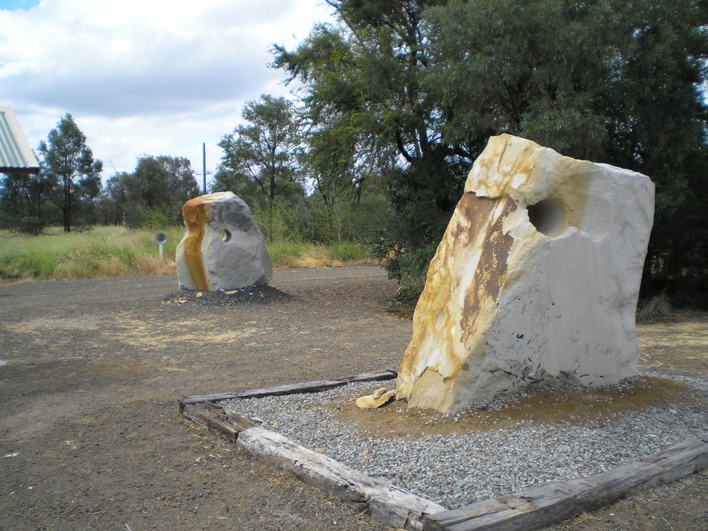
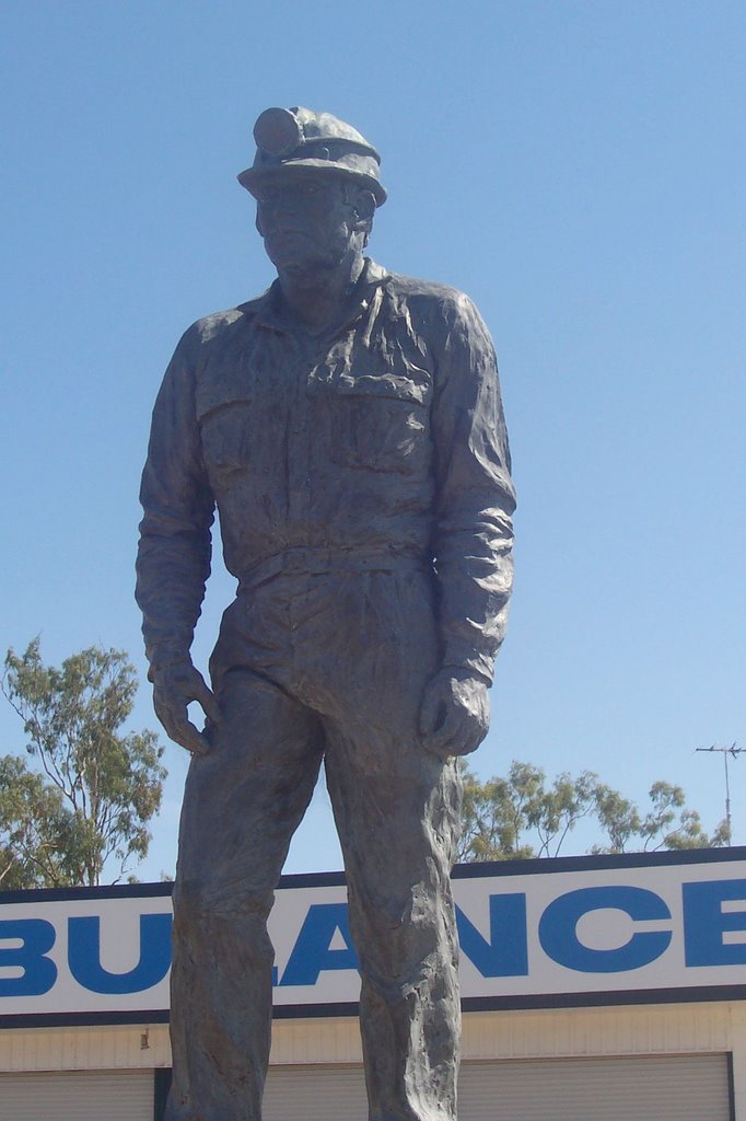
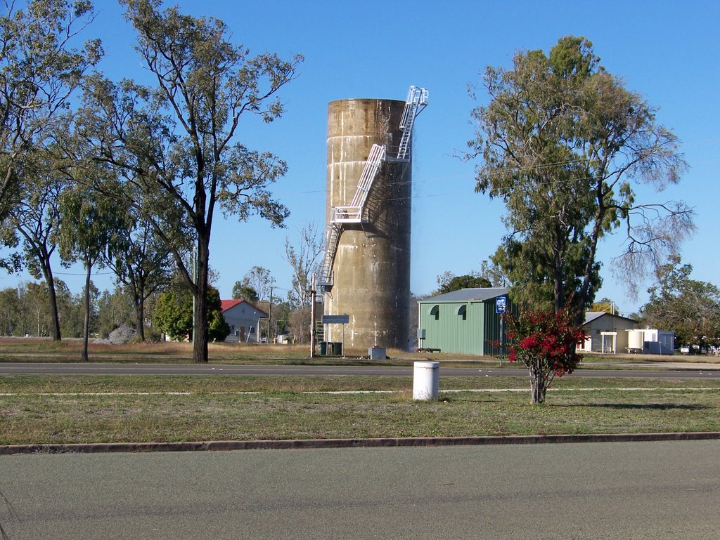
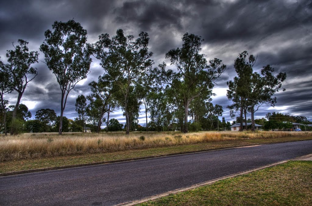
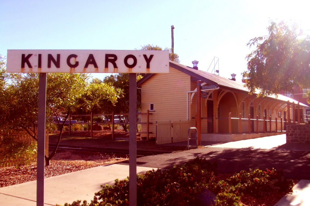
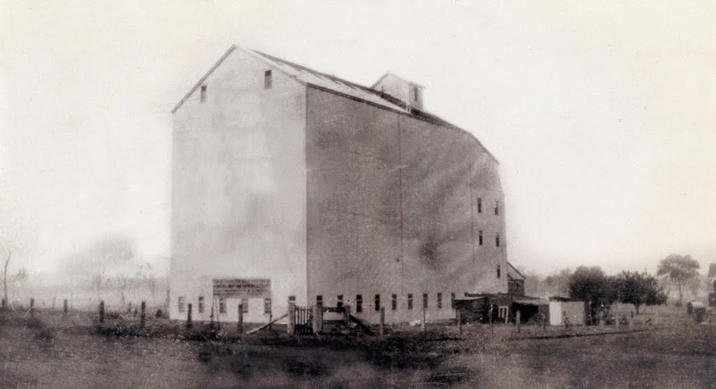
Photos of Moura
Moura Weather

Predicción: Clear sky
Temperatura: 20.2°
Humedad: 84%
Hora actual: 05:18 AM
Amanece: 06:15 AM
Anochece: 05:43 PM
Memerambi, Australia
Latitude: -26.45 // Longitude: 151.823
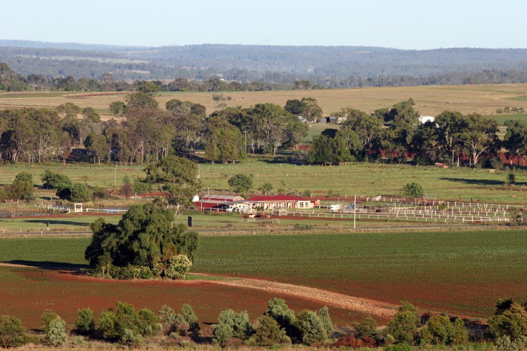
Photos of Memerambi
Memerambi Weather

Predicción: Few clouds
Temperatura: 14.5°
Humedad: 98%
Hora actual: 10:00 AM
Amanece: 06:09 AM
Anochece: 05:34 PM


