Distance between  Mount Sabine and
  Staffordshire Reef
61.70 mi Straight Distance
75.86 mi Driving Distance
2 hours 12 mins Estimated Driving Time
The straight distance between Mount Sabine (Victoria) and Staffordshire Reef (Victoria) is 61.70 mi, but the driving distance is 75.86 mi.
It takes 2 hours 3 mins to go from Mount Sabine to Staffordshire Reef.
Driving directions from Mount Sabine to Staffordshire Reef
Distance in kilometers
Straight distance: 99.28 km. Route distance: 122.06 km
Mount Sabine, Australia
Latitude: -38.6385 // Longitude: 143.757
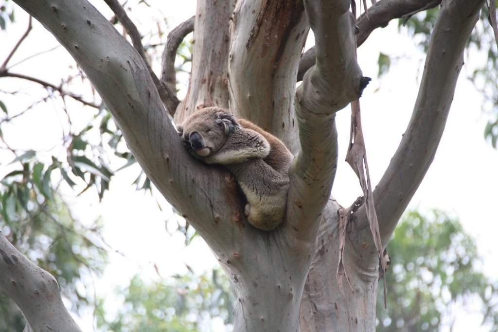
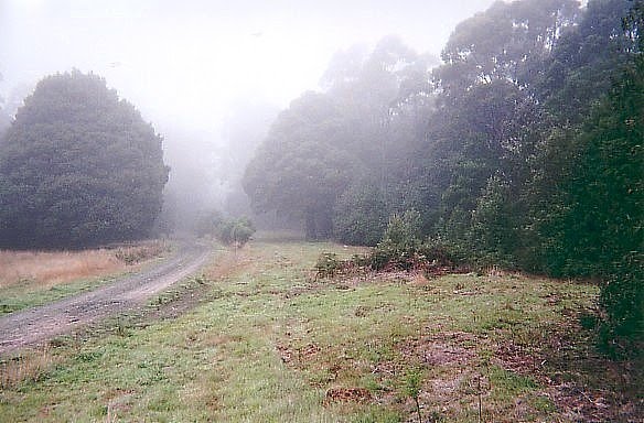
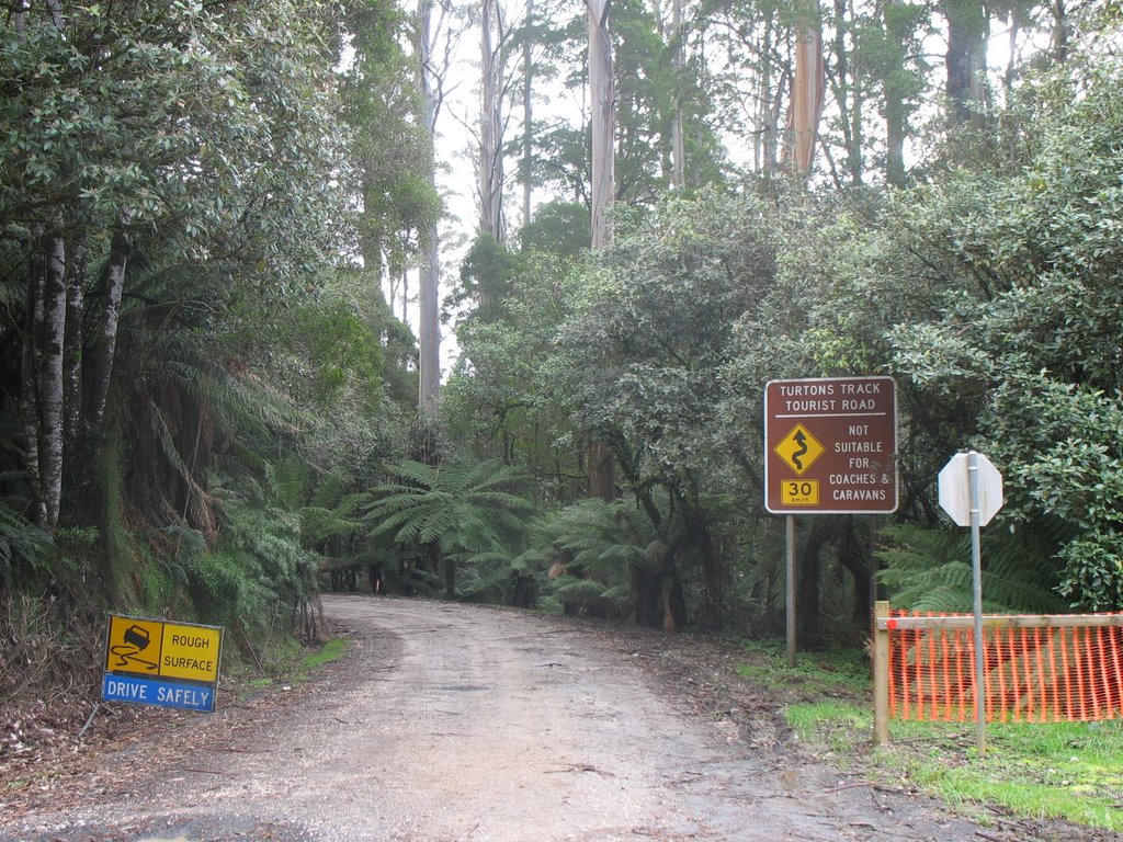
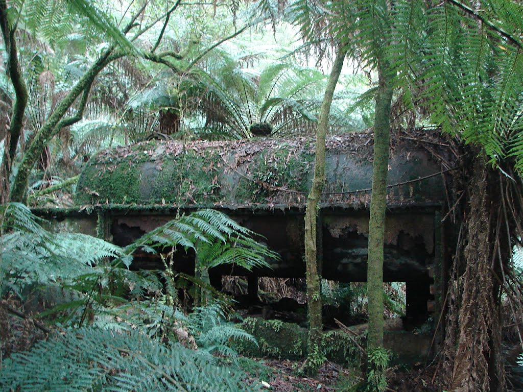
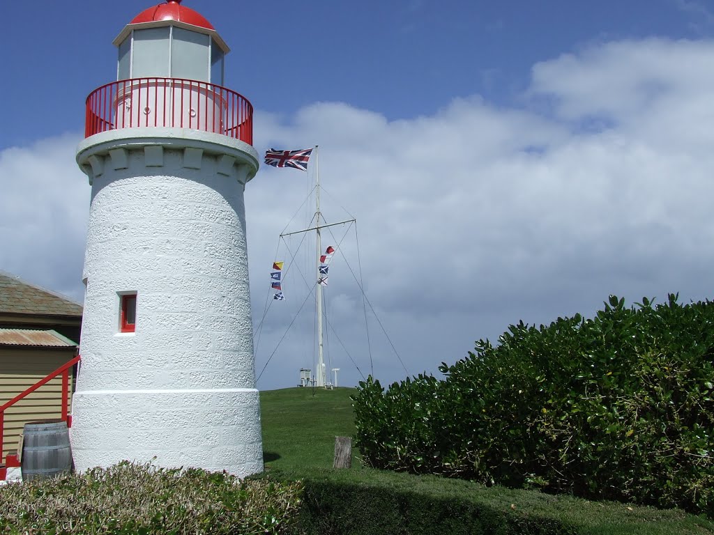
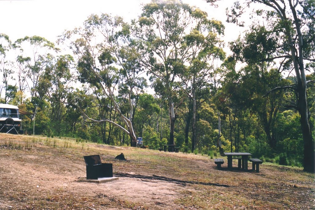
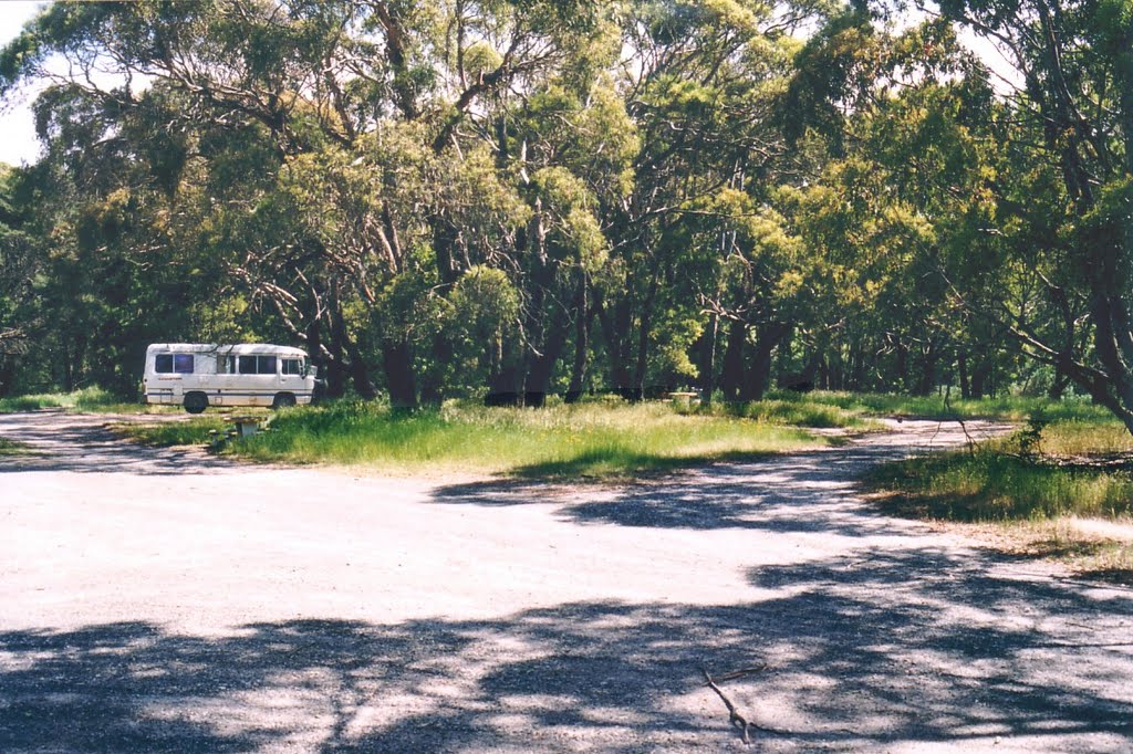
Photos of Mount Sabine
Mount Sabine Weather

Predicción: Broken clouds
Temperatura: 7.8°
Humedad: 85%
Hora actual: 12:00 AM
Amanece: 08:55 PM
Anochece: 07:52 AM
Staffordshire Reef, Australia
Latitude: -37.7463 // Longitude: 143.707
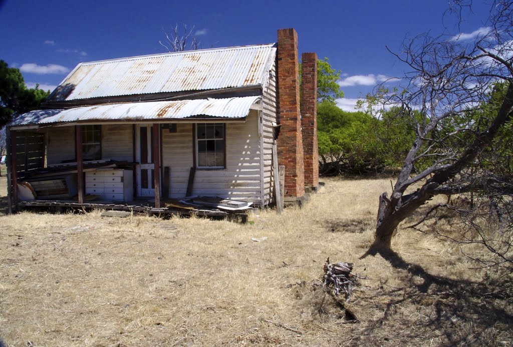
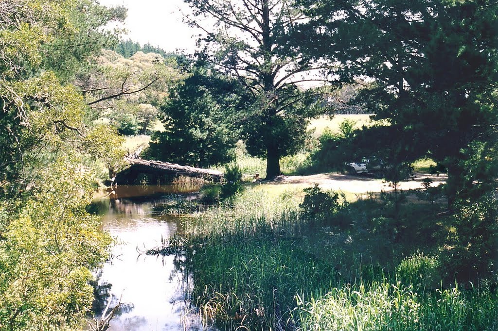
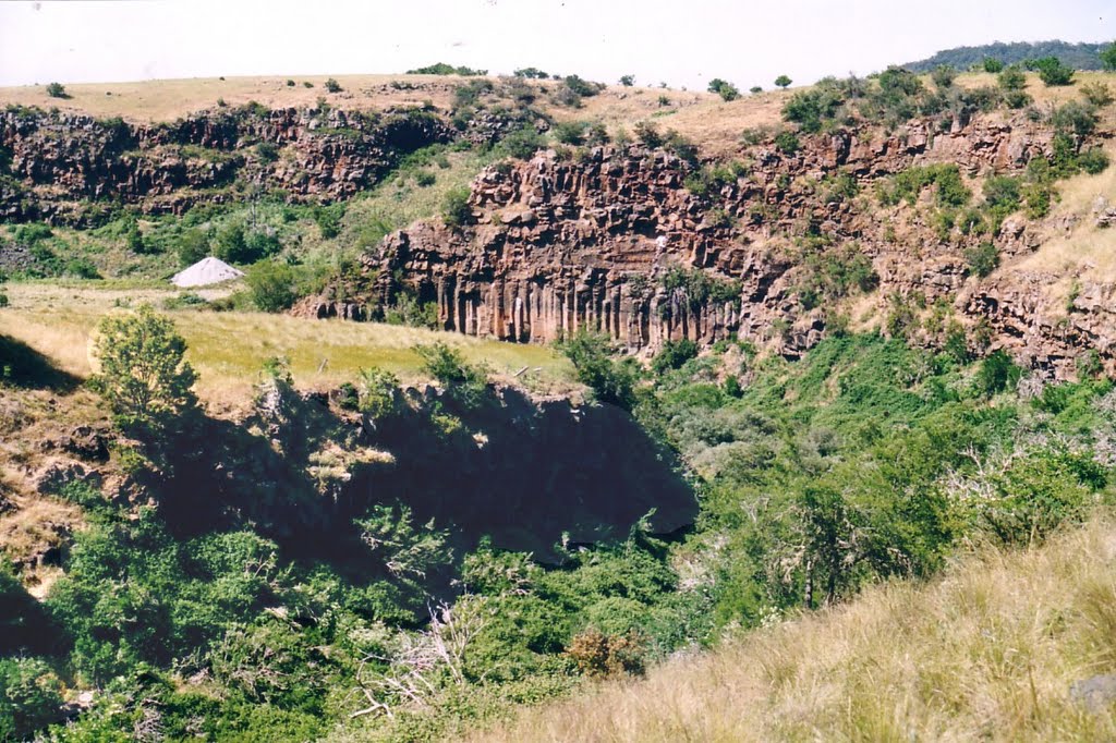
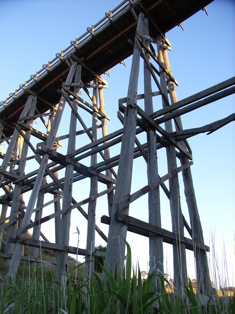
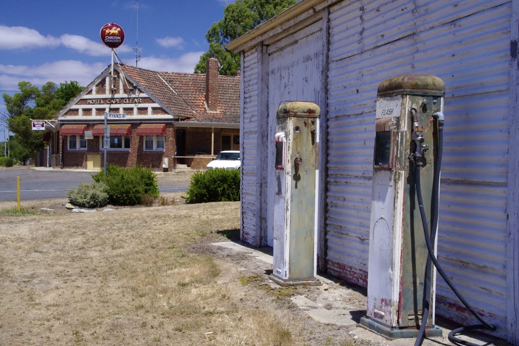
Photos of Staffordshire Reef
Staffordshire Reef Weather

Predicción: Overcast clouds
Temperatura: 8.7°
Humedad: 96%
Hora actual: 06:45 AM
Amanece: 06:55 AM
Anochece: 05:52 PM


