Distance between  Mount Irvine and
  Marrar
199.98 mi Straight Distance
251.54 mi Driving Distance
4 hours 45 mins Estimated Driving Time
The straight distance between Mount Irvine (New South Wales) and Marrar (New South Wales) is 199.98 mi, but the driving distance is 251.54 mi.
It takes to go from Mount Irvine to Marrar.
Driving directions from Mount Irvine to Marrar
Distance in kilometers
Straight distance: 321.76 km. Route distance: 404.72 km
Mount Irvine, Australia
Latitude: -33.4906 // Longitude: 150.454
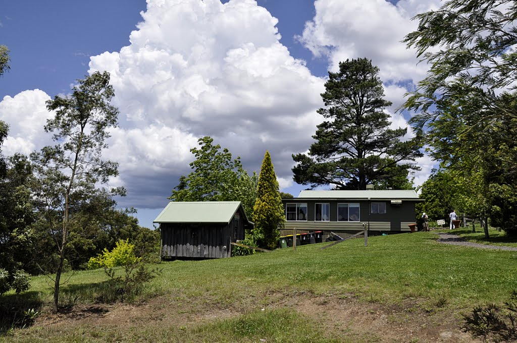
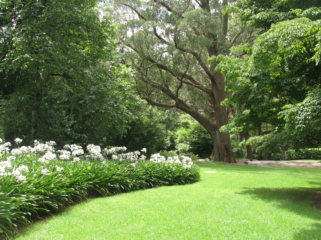
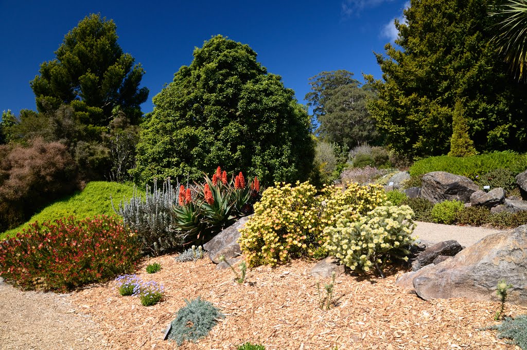
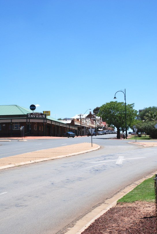
Photos of Mount Irvine
Mount Irvine Weather

Predicción: Light rain
Temperatura: 13.2°
Humedad: 45%
Hora actual: 09:47 AM
Amanece: 06:23 AM
Anochece: 05:30 PM
Marrar, Australia
Latitude: -34.8234 // Longitude: 147.349
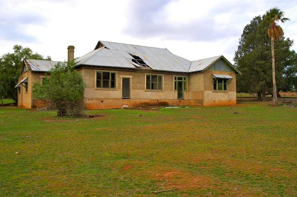
Photos of Marrar
Marrar Weather

Predicción: Broken clouds
Temperatura: 13.5°
Humedad: 73%
Hora actual: 10:00 AM
Amanece: 06:37 AM
Anochece: 05:41 PM


