Distance between  Mount Hotham and
  Newmerella
88.18 mi Straight Distance
131.13 mi Driving Distance
2 hours 32 mins Estimated Driving Time
The straight distance between Mount Hotham (Victoria) and Newmerella (Victoria) is 88.18 mi, but the driving distance is 131.13 mi.
It takes 2 hours 35 mins to go from Mount Hotham to Newmerella.
Driving directions from Mount Hotham to Newmerella
Distance in kilometers
Straight distance: 141.89 km. Route distance: 210.99 km
Mount Hotham, Australia
Latitude: -36.9852 // Longitude: 147.133
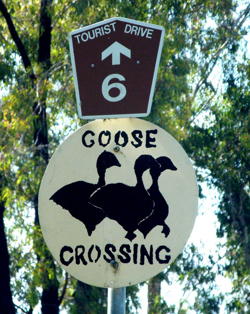
Photos of Mount Hotham
Mount Hotham Weather

Predicción: Broken clouds
Temperatura: 9.4°
Humedad: 55%
Hora actual: 10:17 AM
Amanece: 06:40 AM
Anochece: 05:40 PM
Newmerella, Australia
Latitude: -37.7355 // Longitude: 148.432
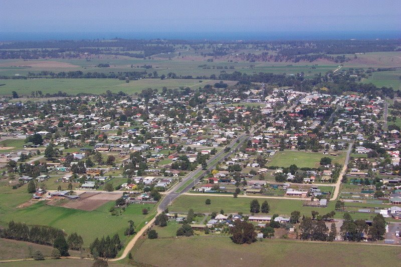
Photos of Newmerella
Newmerella Weather

Predicción: Few clouds
Temperatura: 15.2°
Humedad: 81%
Hora actual: 10:17 AM
Amanece: 06:36 AM
Anochece: 05:34 PM


