Distance between  Mount Glasgow and
  Fosterville
53.45 mi Straight Distance
69.38 mi Driving Distance
1 hour 46 mins Estimated Driving Time
The straight distance between Mount Glasgow (Victoria) and Fosterville (Victoria) is 53.45 mi, but the driving distance is 69.38 mi.
It takes 1 hour 30 mins to go from Mount Glasgow to Fosterville.
Driving directions from Mount Glasgow to Fosterville
Distance in kilometers
Straight distance: 86.00 km. Route distance: 111.63 km
Mount Glasgow, Australia
Latitude: -37.2054 // Longitude: 143.757
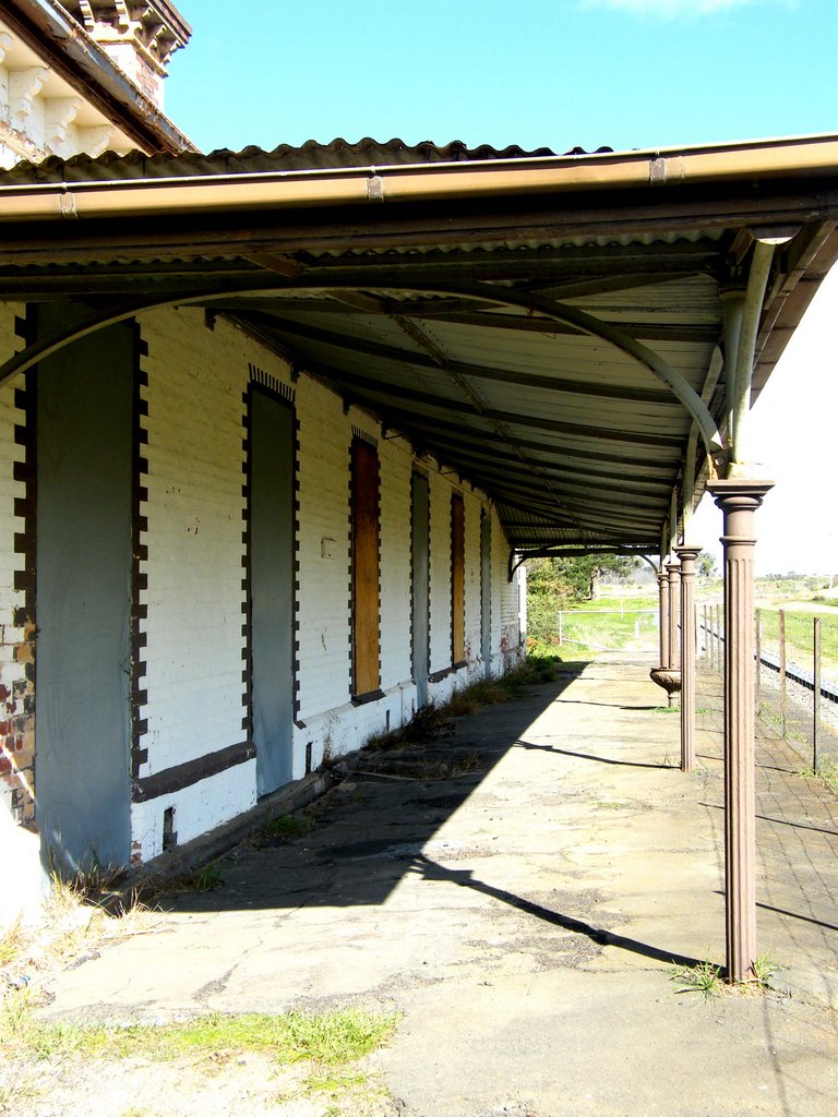
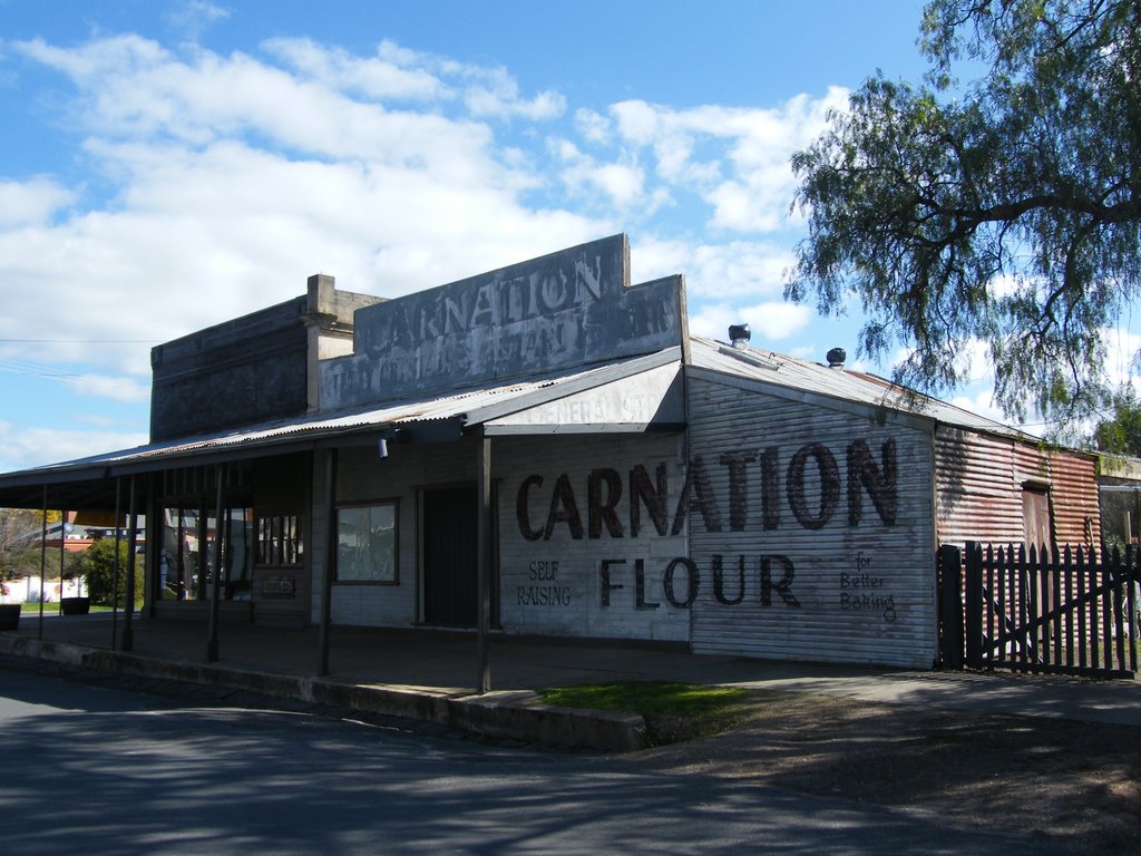
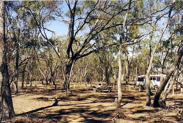
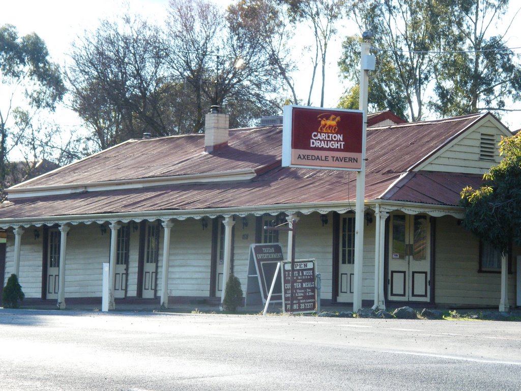
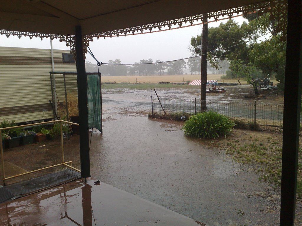
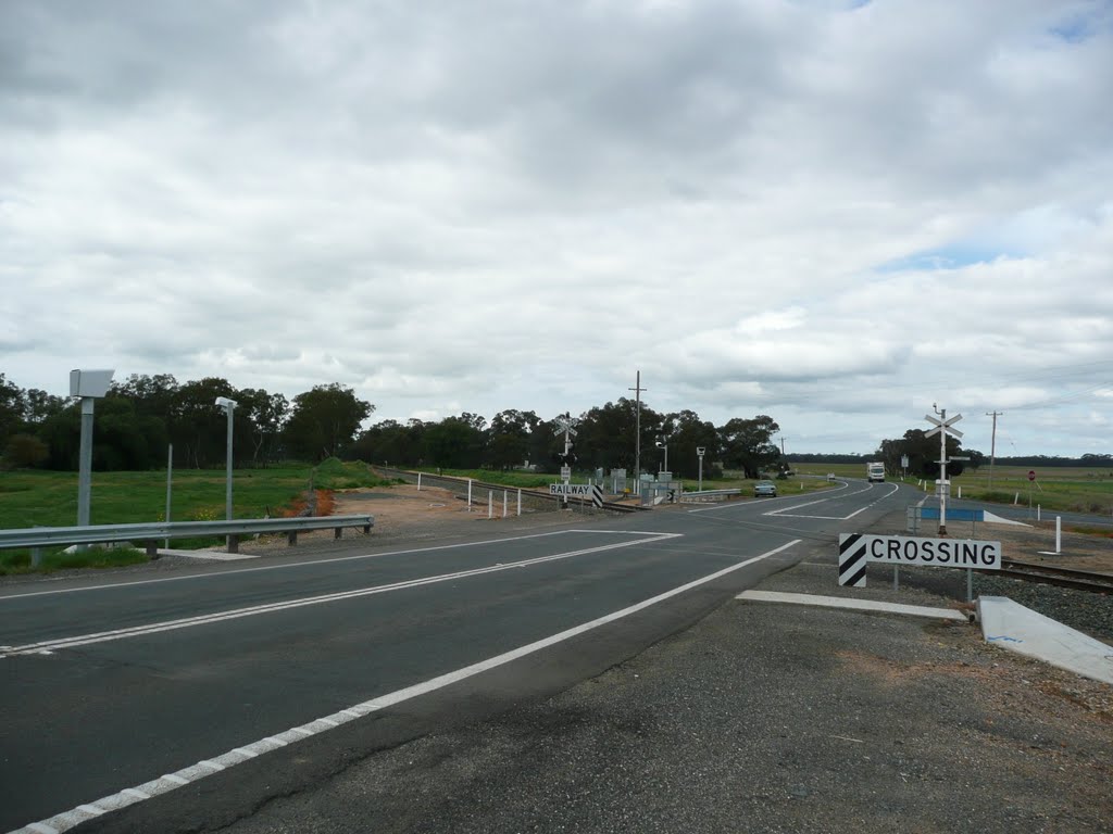
Photos of Mount Glasgow
Mount Glasgow Weather

Predicción: Broken clouds
Temperatura: 9.6°
Humedad: 90%
Hora actual: 12:00 AM
Amanece: 08:54 PM
Anochece: 07:54 AM
Fosterville, Australia
Latitude: -36.6956 // Longitude: 144.485
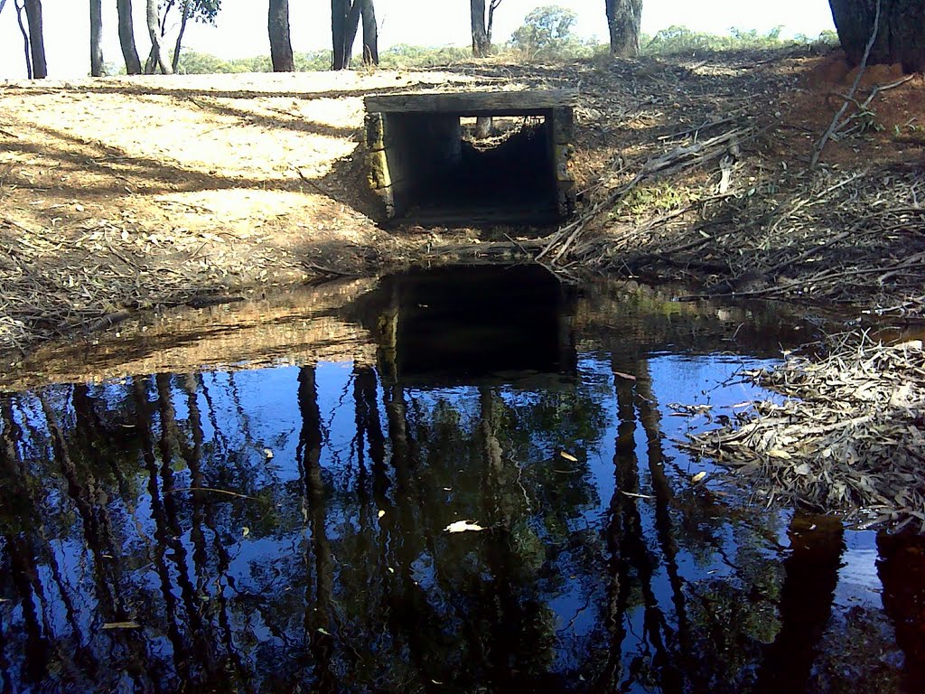
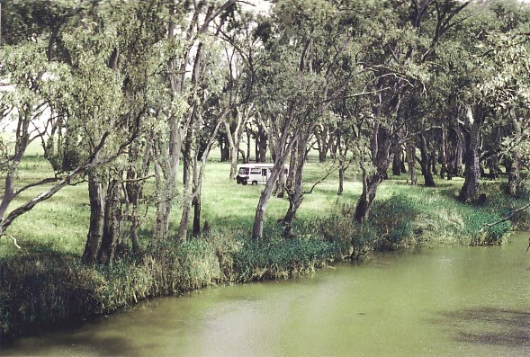
Photos of Fosterville
Fosterville Weather

Predicción: Broken clouds
Temperatura: 12.0°
Humedad: 83%
Hora actual: 12:00 AM
Amanece: 08:50 PM
Anochece: 07:51 AM


