Distance between  Mount Cole and
  Dobie
Dobie
11.95 mi Straight Distance
33.73 mi Driving Distance
32 minutes Estimated Driving Time
The straight distance between Mount Cole (Victoria) and Dobie (Victoria) is 11.95 mi, but the driving distance is 33.73 mi.
It takes to go from Mount Cole to Dobie.
Driving directions from Mount Cole to Dobie
Distance in kilometers
Straight distance: 19.22 km. Route distance: 54.27 km
Mount Cole, Australia
Latitude: -37.2471 // Longitude: 143.22
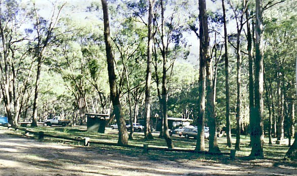
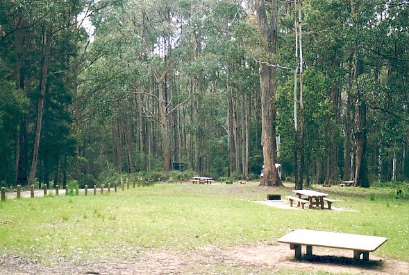
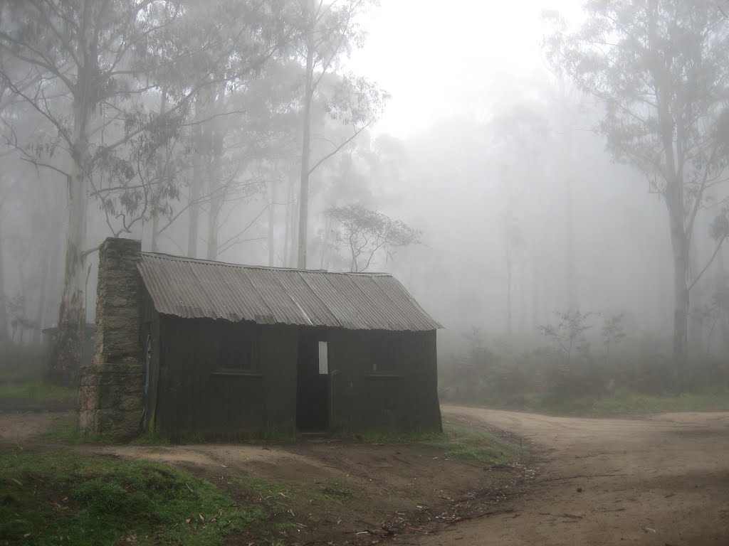
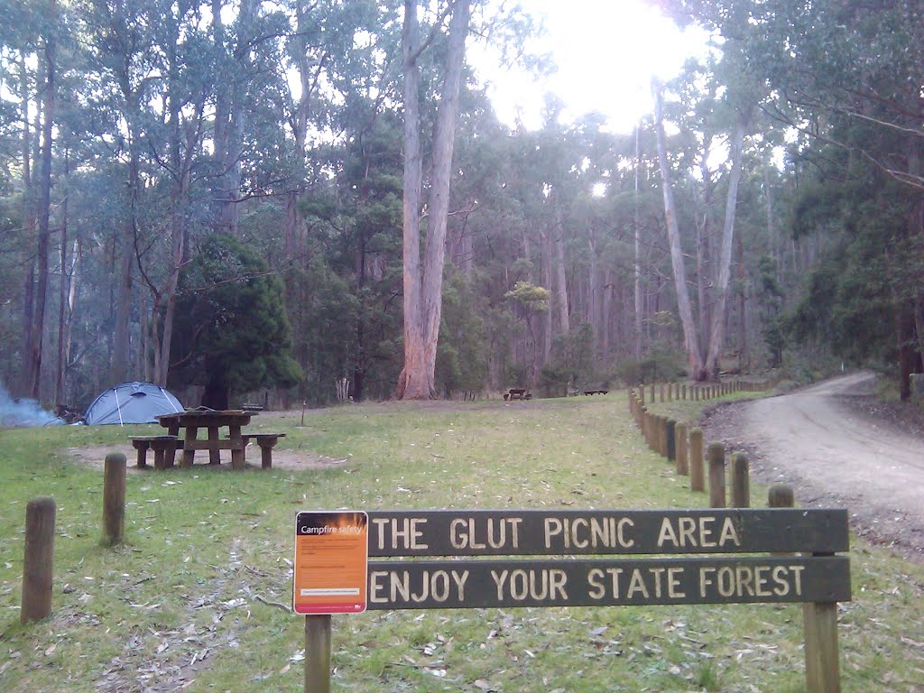
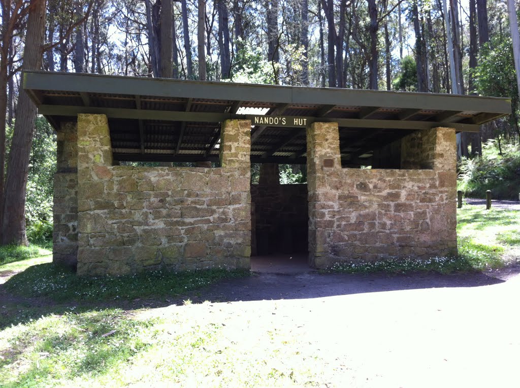
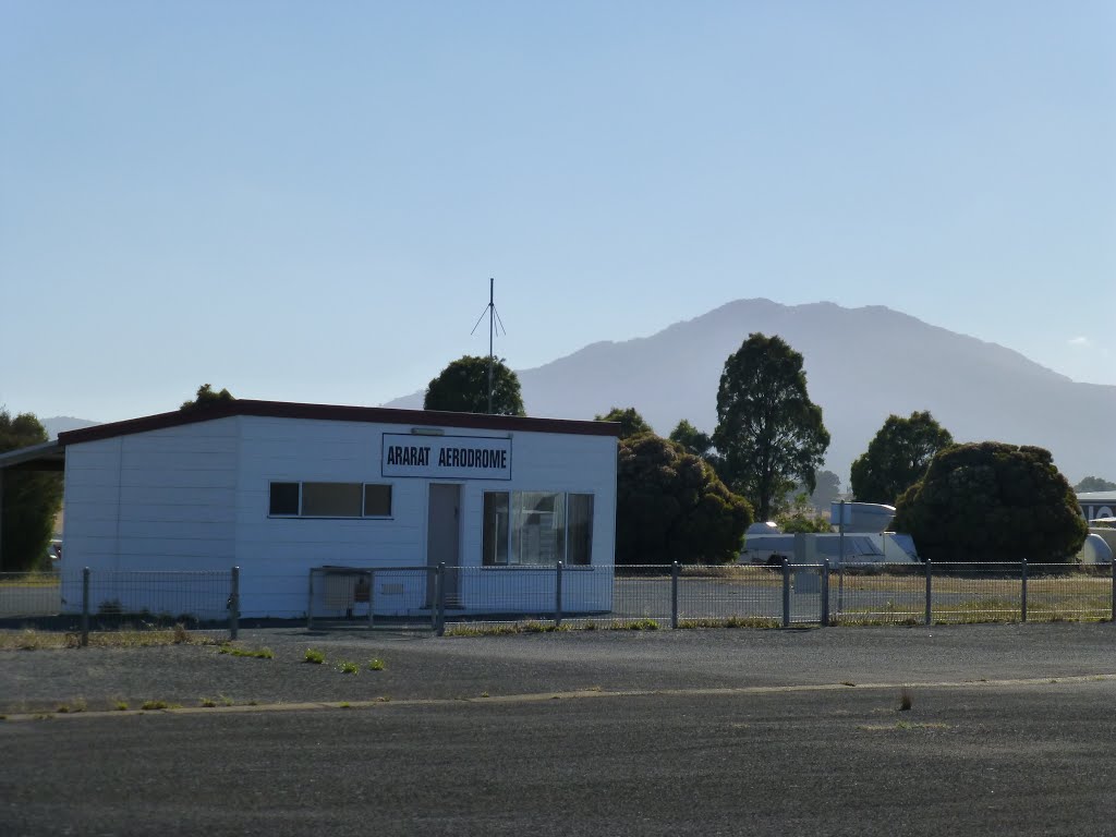
Photos of Mount Cole
Mount Cole Weather

Predicción: Broken clouds
Temperatura: 10.2°
Humedad: 75%
Hora actual: 12:00 AM
Amanece: 08:57 PM
Anochece: 07:54 AM
Dobie, Australia
Latitude: -37.3109 // Longitude: 143.018
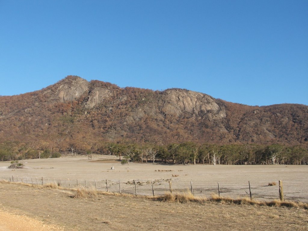
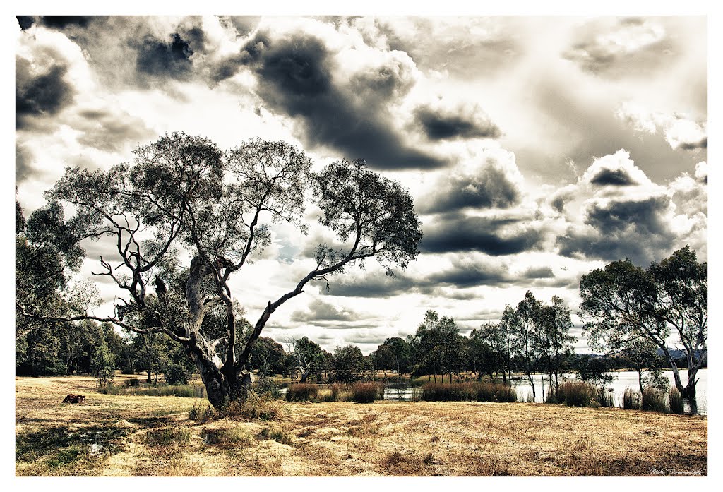
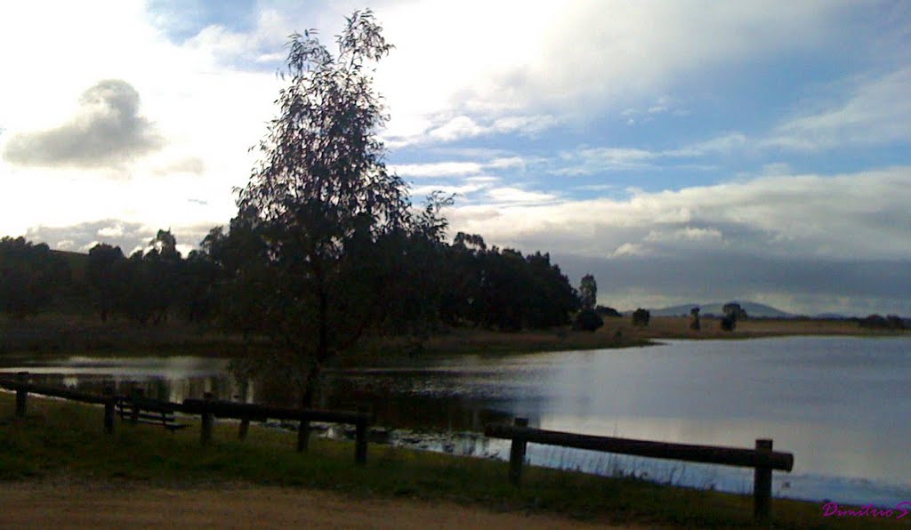
Photos of Dobie
Dobie Weather

Predicción: Broken clouds
Temperatura: 13.1°
Humedad: 72%
Hora actual: 10:09 AM
Amanece: 06:57 AM
Anochece: 05:56 PM


