Distance between  Mount Cole Creek and
  Crossley
86.91 mi Straight Distance
120.31 mi Driving Distance
2 hours 27 mins Estimated Driving Time
The straight distance between Mount Cole Creek (Victoria) and Crossley (Victoria) is 86.91 mi, but the driving distance is 120.31 mi.
It takes to go from Mount Cole Creek to Crossley.
Driving directions from Mount Cole Creek to Crossley
Distance in kilometers
Straight distance: 139.85 km. Route distance: 193.57 km
Mount Cole Creek, Australia
Latitude: -37.2282 // Longitude: 143.133
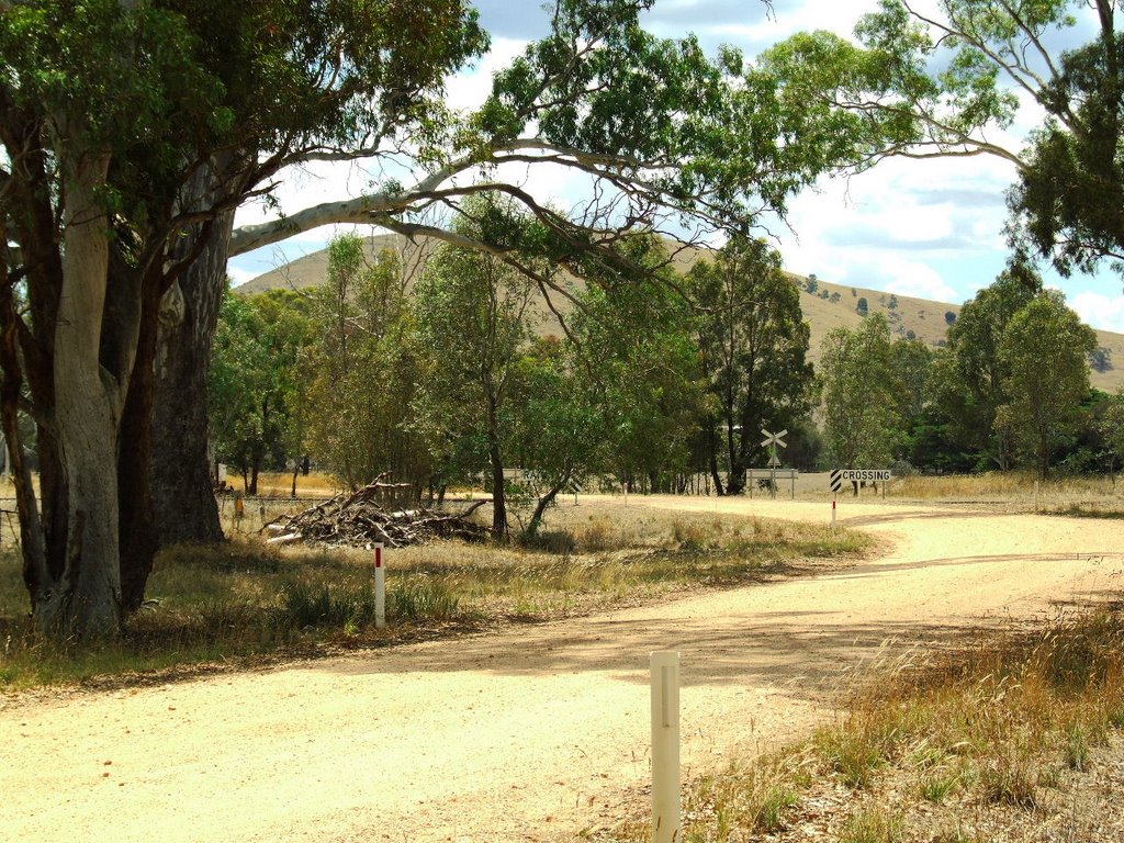
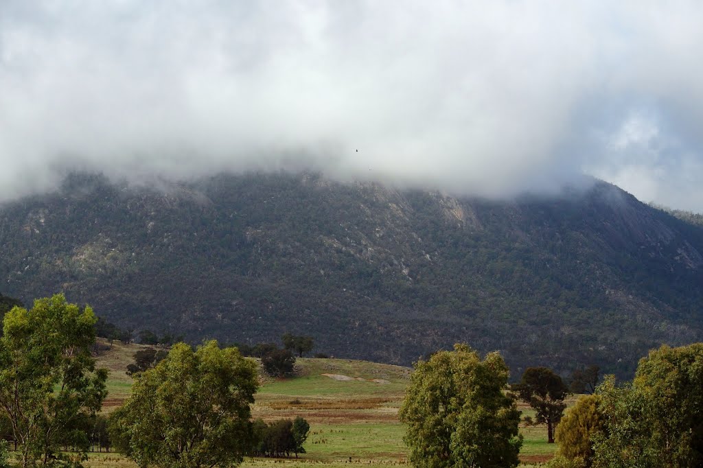
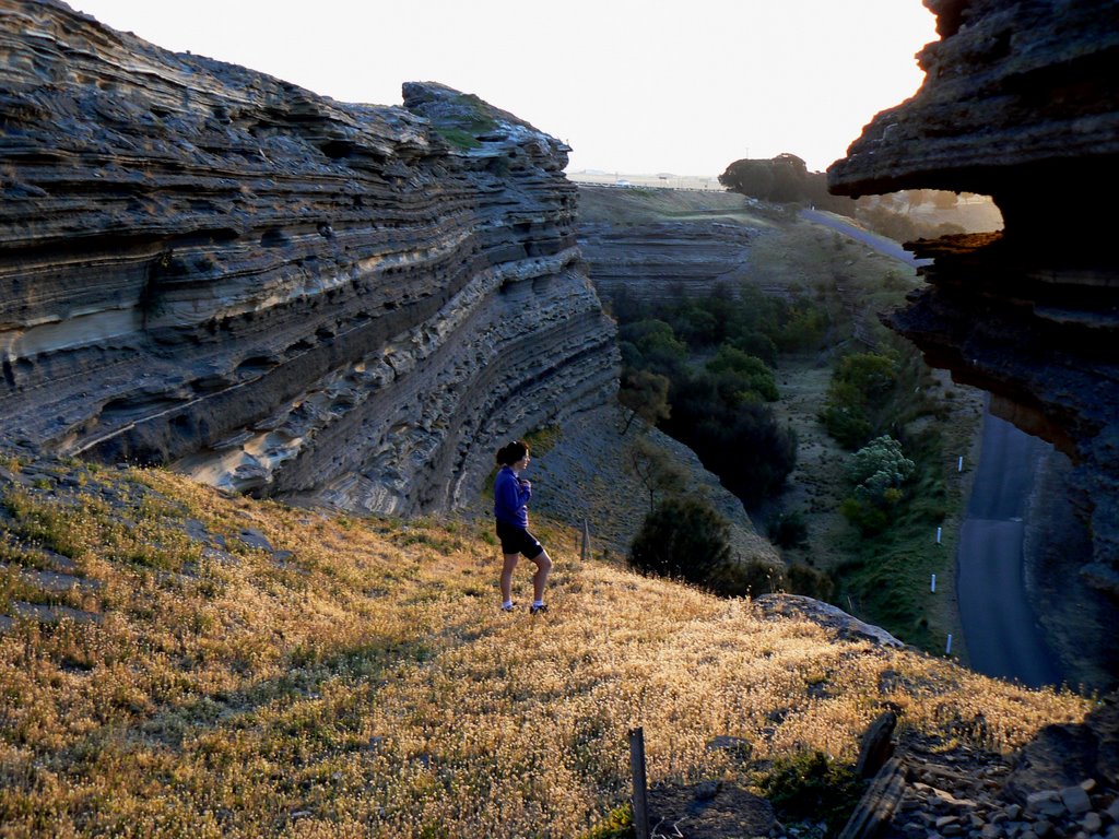
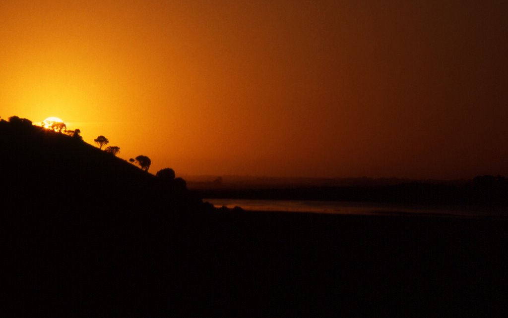
Photos of Mount Cole Creek
Mount Cole Creek Weather

Predicción: Broken clouds
Temperatura: 16.0°
Humedad: 57%
Hora actual: 12:00 AM
Amanece: 08:54 PM
Anochece: 07:59 AM
Crossley, Australia
Latitude: -38.3138 // Longitude: 142.329
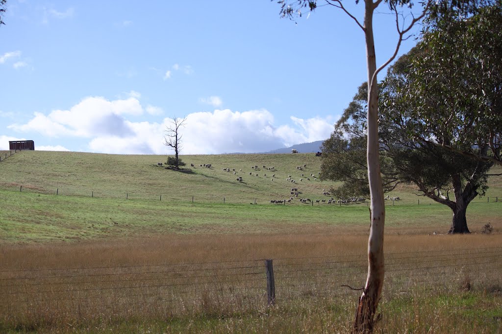
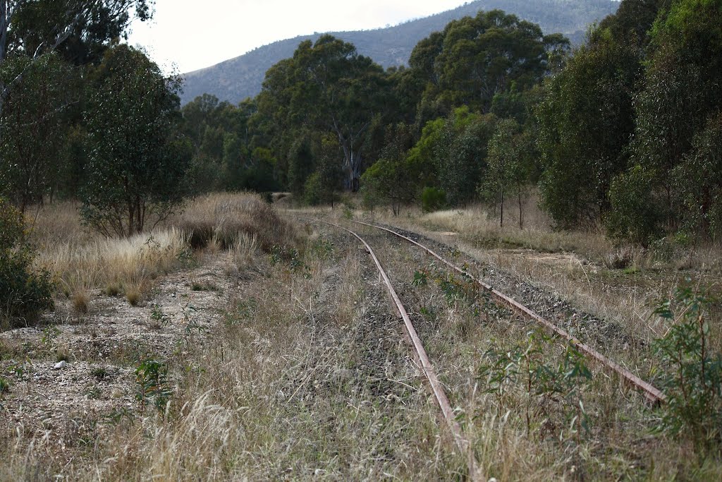
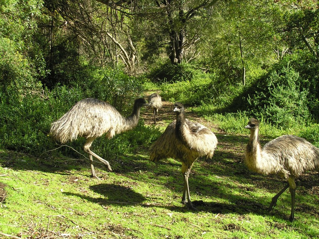
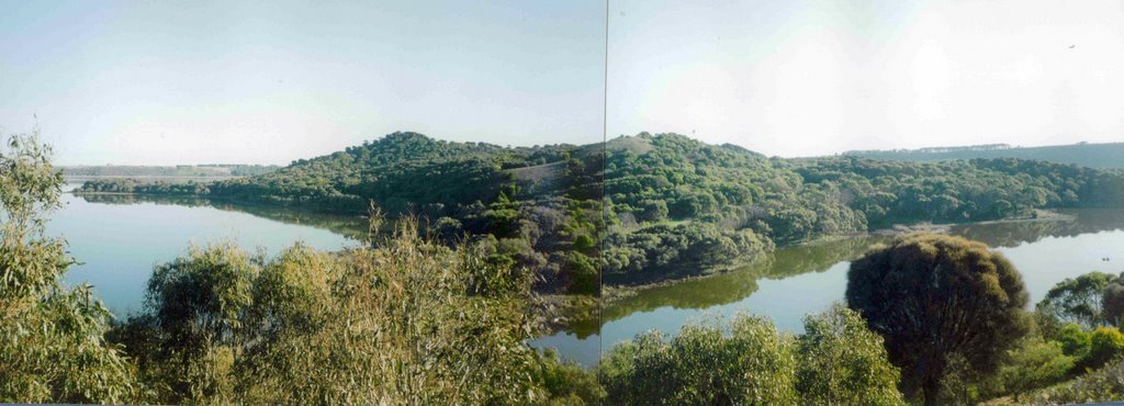
Photos of Crossley
Crossley Weather

Predicción: Overcast clouds
Temperatura: 13.3°
Humedad: 85%
Hora actual: 04:19 PM
Amanece: 06:58 AM
Anochece: 06:01 PM


