Distance between  Mount Buller and
  Newmerella
116.24 mi Straight Distance
284.77 mi Driving Distance
5 hours 21 mins Estimated Driving Time
The straight distance between Mount Buller (Victoria) and Newmerella (Victoria) is 116.24 mi, but the driving distance is 284.77 mi.
It takes to go from Mount Buller to Newmerella.
Driving directions from Mount Buller to Newmerella
Distance in kilometers
Straight distance: 187.03 km. Route distance: 458.19 km
Mount Buller, Australia
Latitude: -37.1326 // Longitude: 146.454
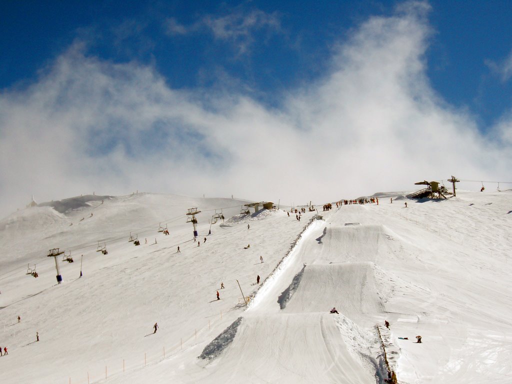
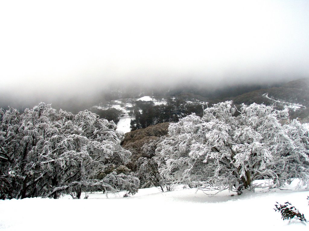
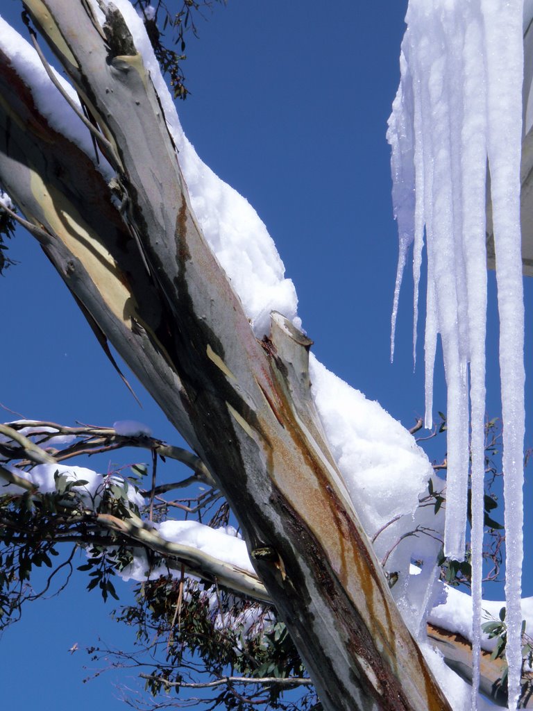
Photos of Mount Buller
Mount Buller Weather

Predicción: Scattered clouds
Temperatura: 11.7°
Humedad: 46%
Hora actual: 11:51 AM
Amanece: 06:43 AM
Anochece: 05:42 PM
Newmerella, Australia
Latitude: -37.7355 // Longitude: 148.432
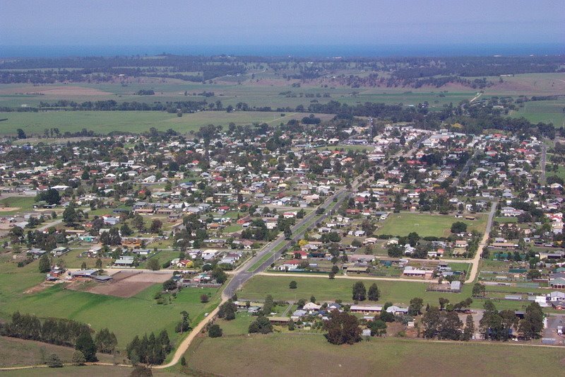
Photos of Newmerella
Newmerella Weather

Predicción: Light rain
Temperatura: 16.6°
Humedad: 64%
Hora actual: 11:51 AM
Amanece: 06:36 AM
Anochece: 05:34 PM


