Distance between  Mount Bruno and
  Howes Creek
56.85 mi Straight Distance
75.93 mi Driving Distance
1 hour 32 mins Estimated Driving Time
The straight distance between Mount Bruno (Victoria) and Howes Creek (Victoria) is 56.85 mi, but the driving distance is 75.93 mi.
It takes 1 hour 29 mins to go from Mount Bruno to Howes Creek.
Driving directions from Mount Bruno to Howes Creek
Distance in kilometers
Straight distance: 91.46 km. Route distance: 122.17 km
Mount Bruno, Australia
Latitude: -36.3244 // Longitude: 146.156
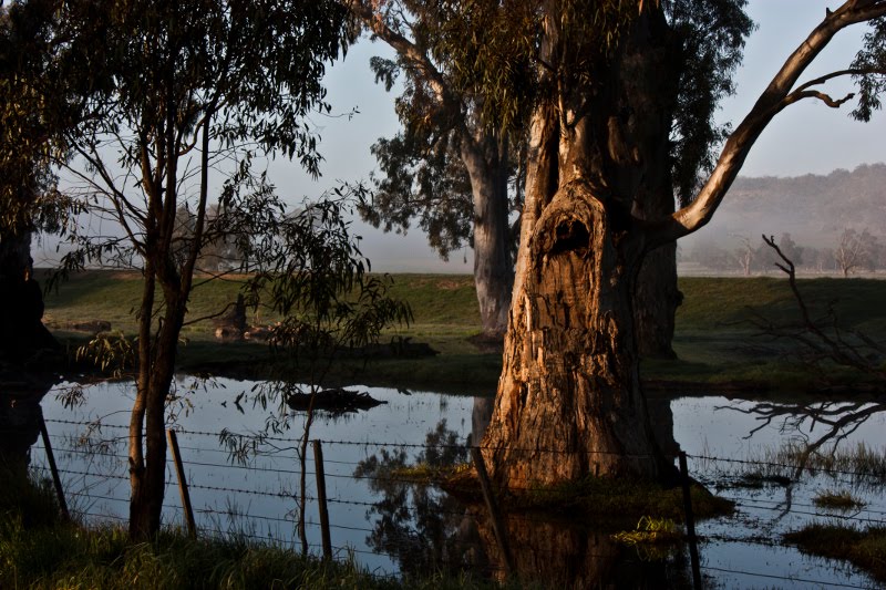
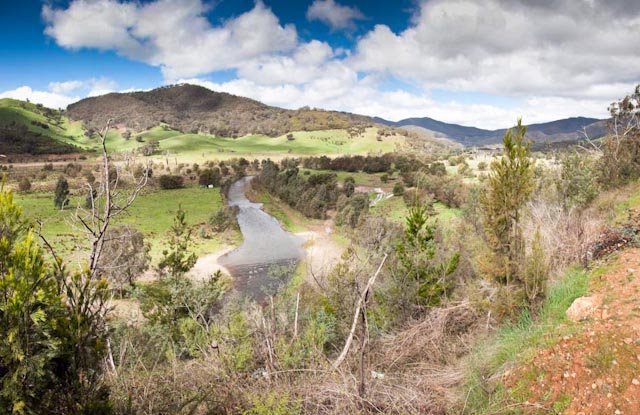
Photos of Mount Bruno
Mount Bruno Weather

Predicción: Overcast clouds
Temperatura: 9.5°
Humedad: 83%
Hora actual: 12:00 AM
Amanece: 08:41 PM
Anochece: 07:48 AM
Howes Creek, Australia
Latitude: -37.1403 // Longitude: 146.024
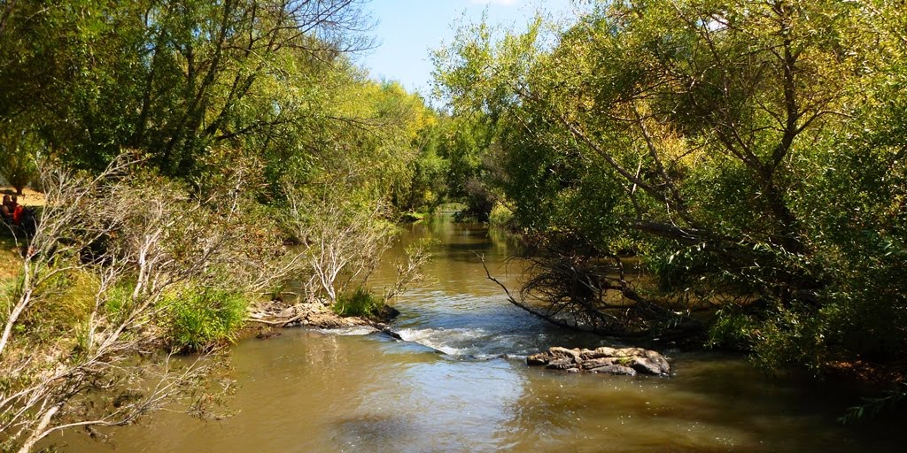
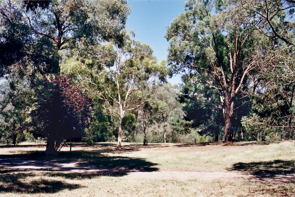
Photos of Howes Creek
Howes Creek Weather

Predicción: Overcast clouds
Temperatura: 8.4°
Humedad: 97%
Hora actual: 12:00 AM
Amanece: 08:43 PM
Anochece: 07:47 AM


