Distance between  Moulamein and
  Medlow Bath
369.28 mi Straight Distance
465.54 mi Driving Distance
8 hours 2 mins Estimated Driving Time
The straight distance between Moulamein (New South Wales) and Medlow Bath (New South Wales) is 369.28 mi, but the driving distance is 465.54 mi.
It takes to go from Moulamein to Medlow Bath.
Driving directions from Moulamein to Medlow Bath
Distance in kilometers
Straight distance: 594.18 km. Route distance: 749.05 km
Moulamein, Australia
Latitude: -35.0913 // Longitude: 144.035
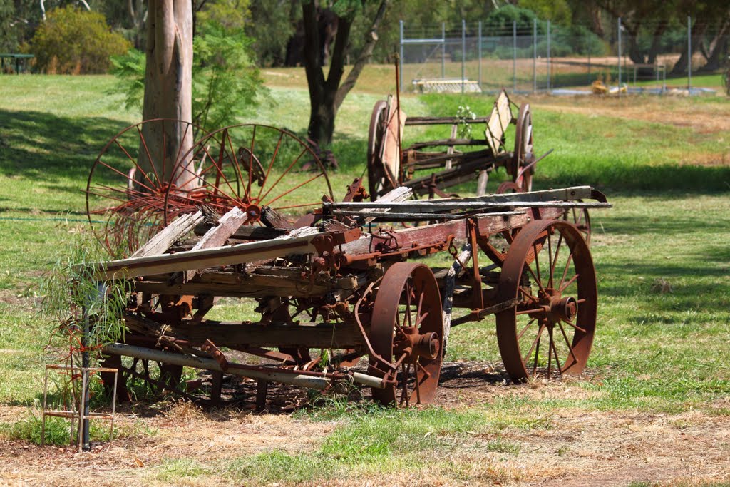
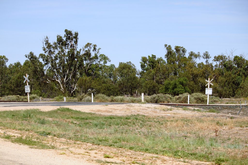
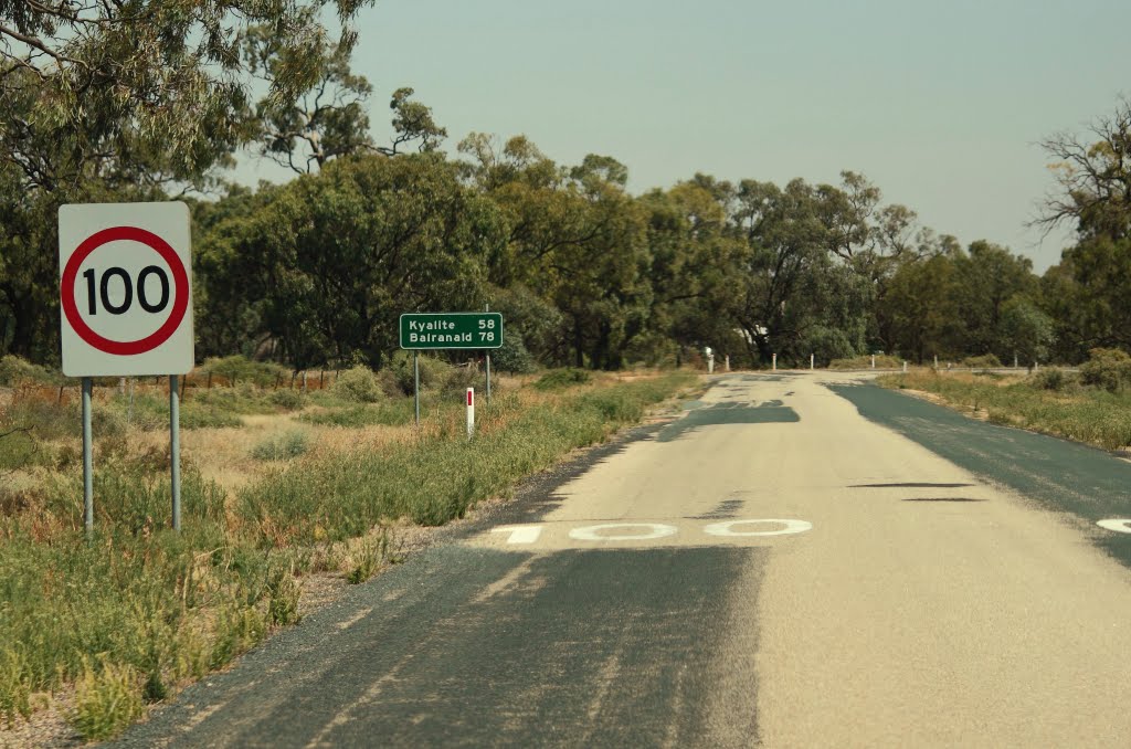
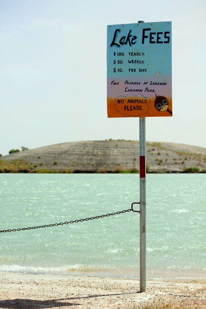
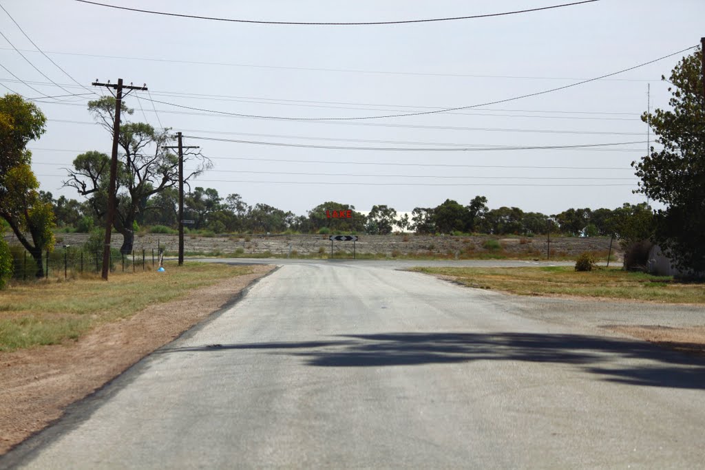
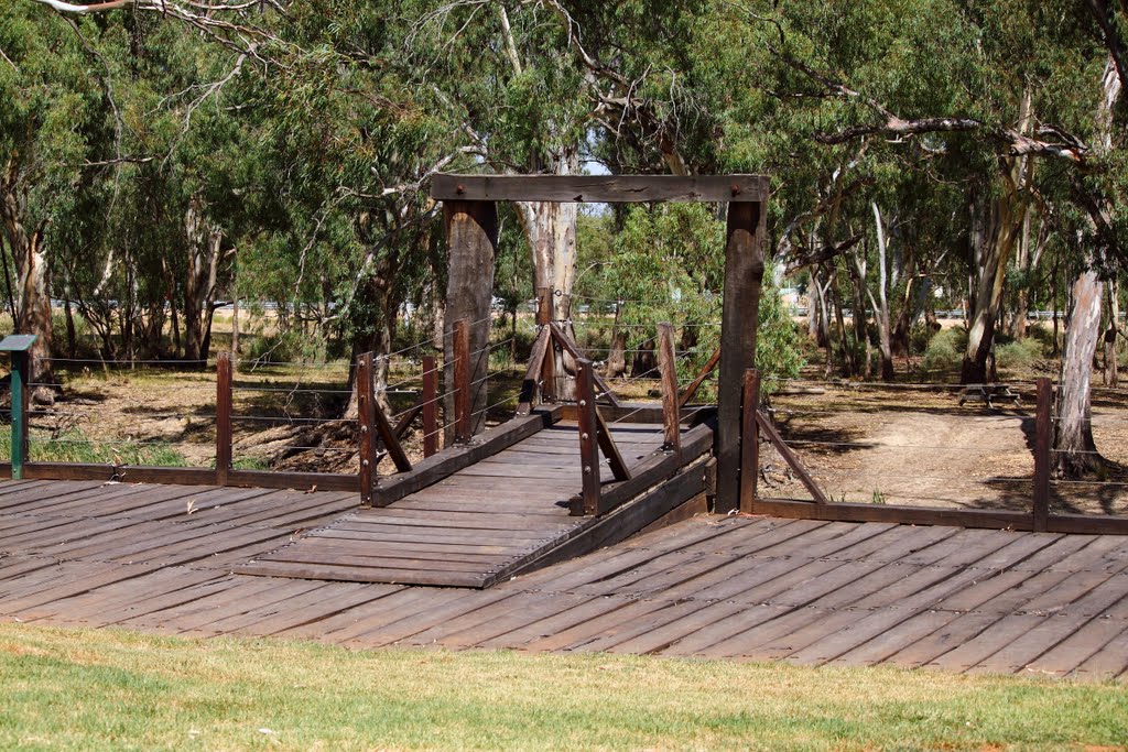
Photos of Moulamein
Moulamein Weather

Predicción: Clear sky
Temperatura: 18.9°
Humedad: 39%
Hora actual: 12:00 AM
Amanece: 08:51 PM
Anochece: 07:54 AM
Medlow Bath, Australia
Latitude: -33.6748 // Longitude: 150.281
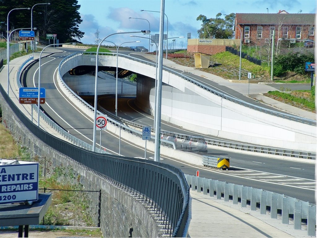
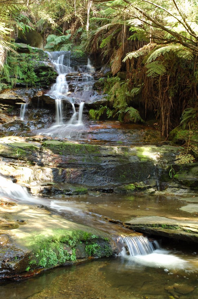
Photos of Medlow Bath
Medlow Bath Weather

Predicción: Broken clouds
Temperatura: 13.8°
Humedad: 56%
Hora actual: 11:32 AM
Amanece: 06:24 AM
Anochece: 05:31 PM


