Distance between  Mossiface and
  The Heart
43.43 mi Straight Distance
59.31 mi Driving Distance
1 hour 15 mins Estimated Driving Time
The straight distance between Mossiface (Victoria) and The Heart (Victoria) is 43.43 mi, but the driving distance is 59.31 mi.
It takes to go from Mossiface to The Heart.
Driving directions from Mossiface to The Heart
Distance in kilometers
Straight distance: 69.88 km. Route distance: 95.43 km
Mossiface, Australia
Latitude: -37.7417 // Longitude: 147.818
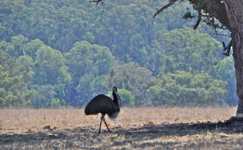
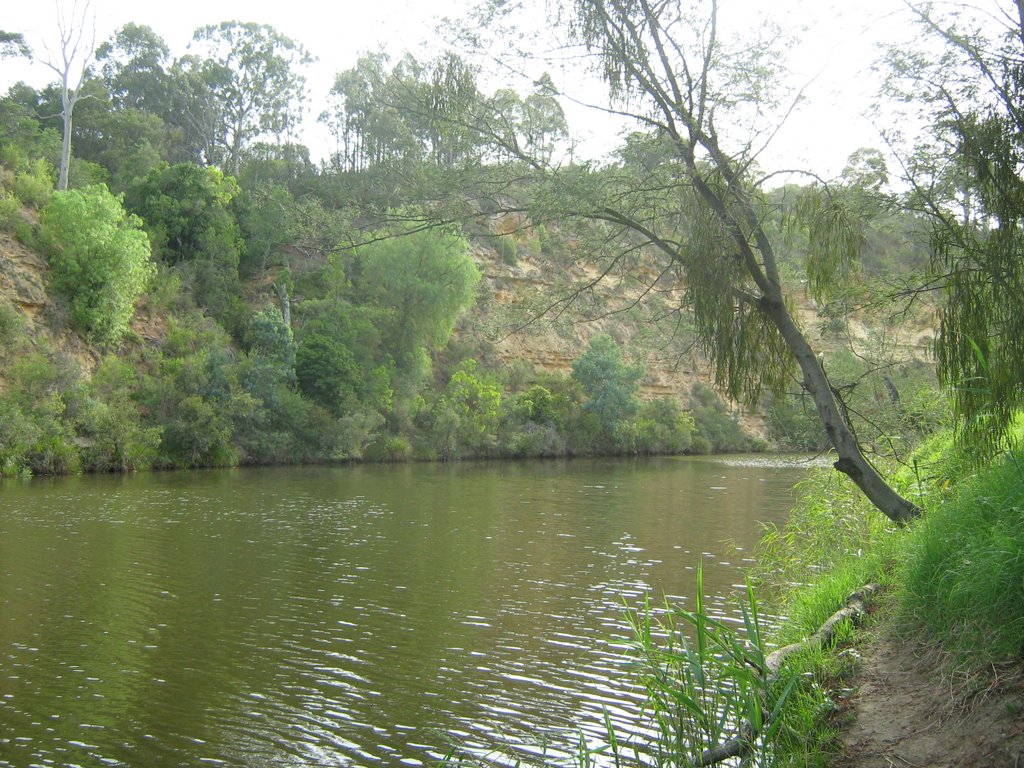
Photos of Mossiface
Mossiface Weather

Predicción: Overcast clouds
Temperatura: 18.4°
Humedad: 74%
Hora actual: 03:43 PM
Amanece: 06:36 AM
Anochece: 05:40 PM
The Heart, Australia
Latitude: -38.1152 // Longitude: 147.177
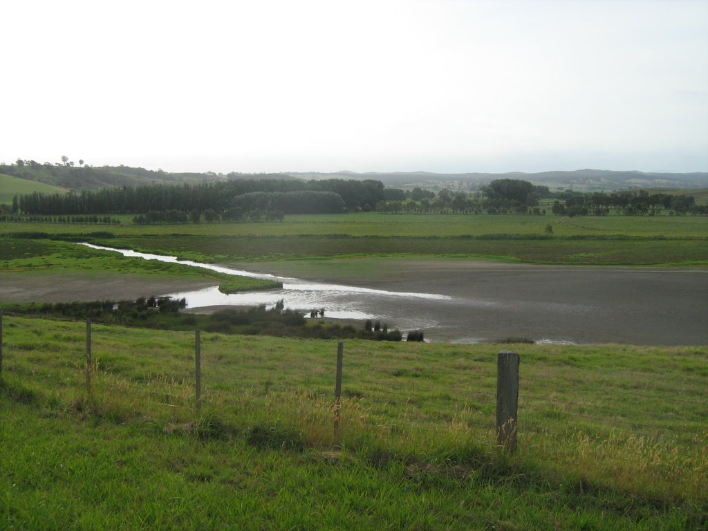
Photos of The Heart
The Heart Weather

Predicción: Overcast clouds
Temperatura: 15.3°
Humedad: 83%
Hora actual: 10:00 AM
Amanece: 06:39 AM
Anochece: 05:42 PM


