Distance between  Morundah and
  Mangoplah
61.66 mi Straight Distance
72.34 mi Driving Distance
1 hour 25 mins Estimated Driving Time
The straight distance between Morundah (New South Wales) and Mangoplah (New South Wales) is 61.66 mi, but the driving distance is 72.34 mi.
It takes to go from Morundah to Mangoplah.
Driving directions from Morundah to Mangoplah
Distance in kilometers
Straight distance: 99.20 km. Route distance: 116.39 km
Morundah, Australia
Latitude: -34.9366 // Longitude: 146.306
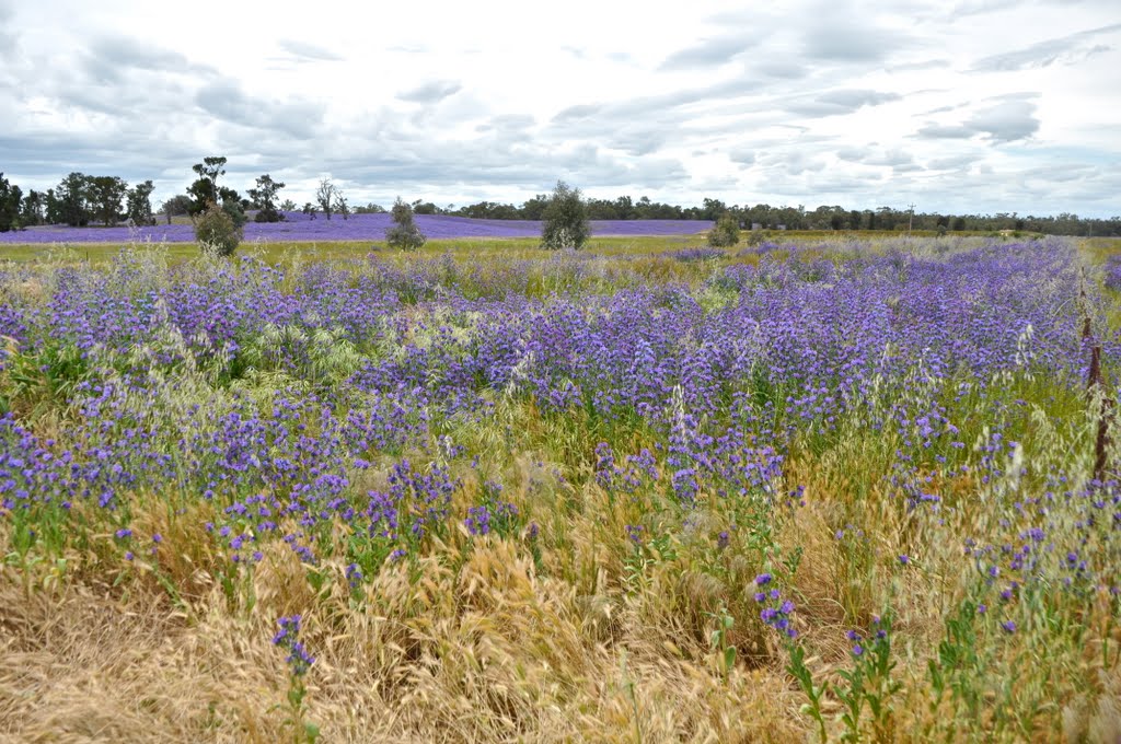
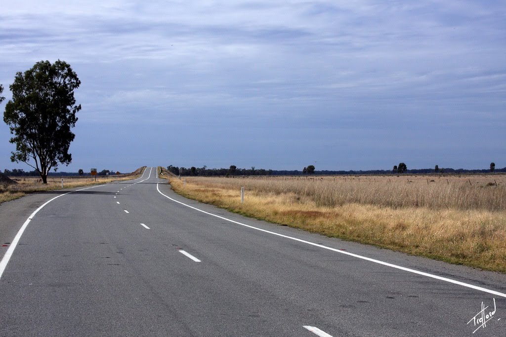
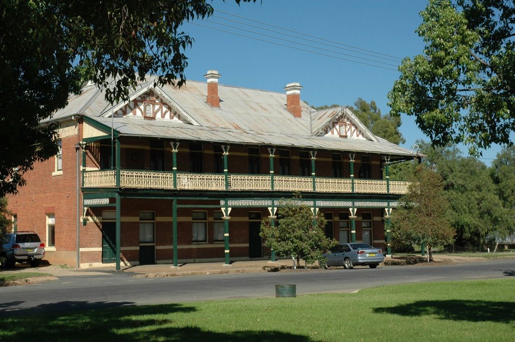
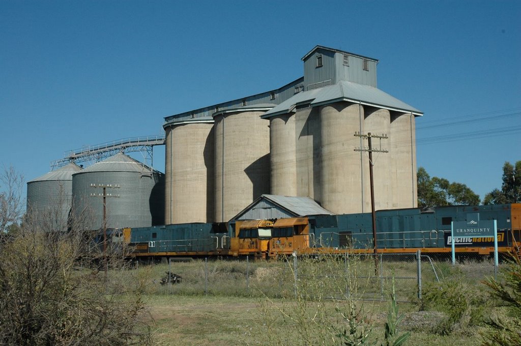
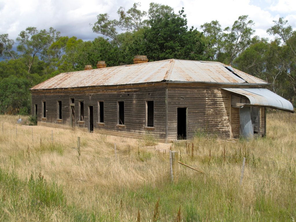
Photos of Morundah
Morundah Weather

Predicción: Clear sky
Temperatura: 14.5°
Humedad: 58%
Hora actual: 12:00 AM
Amanece: 08:39 PM
Anochece: 07:49 AM
Mangoplah, Australia
Latitude: -35.3774 // Longitude: 147.255
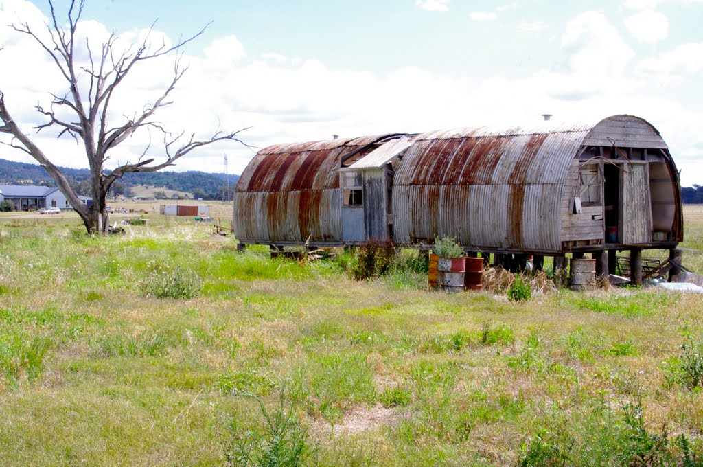
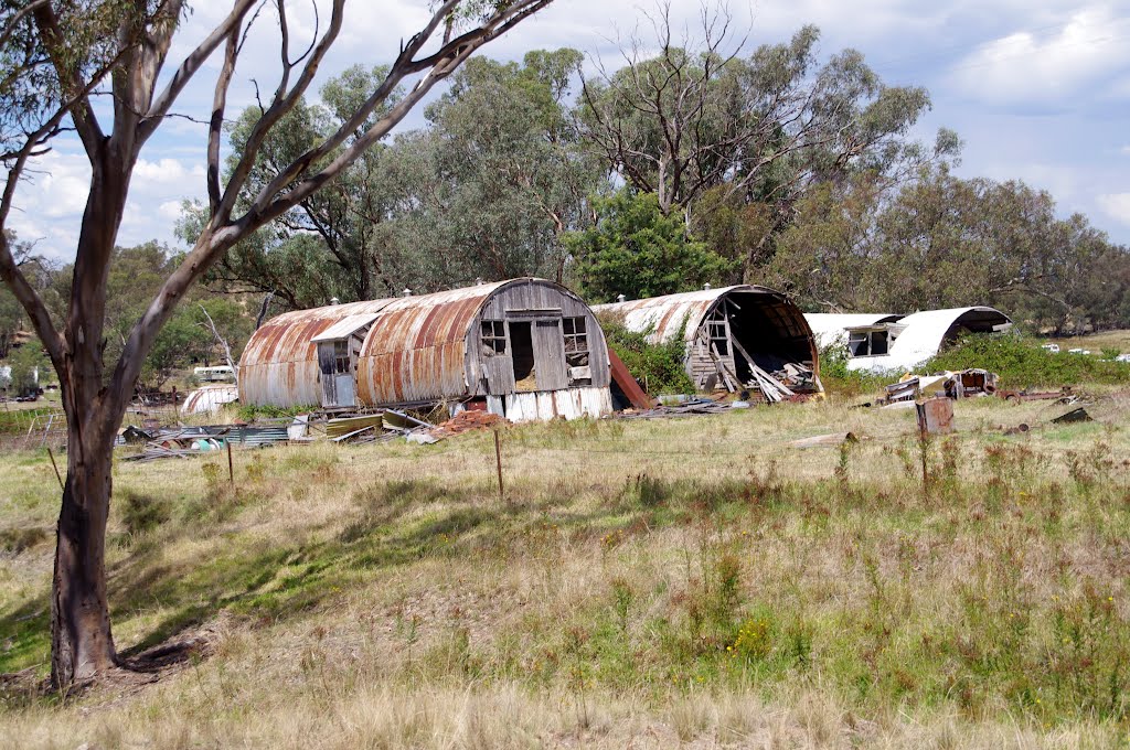
Photos of Mangoplah
Mangoplah Weather

Predicción: Few clouds
Temperatura: 10.0°
Humedad: 58%
Hora actual: 12:00 AM
Amanece: 08:36 PM
Anochece: 07:44 AM


