Distance between  Moroka and
  Hiawatha
75.27 mi Straight Distance
143.89 mi Driving Distance
4 hours 43 mins Estimated Driving Time
The straight distance between Moroka (Victoria) and Hiawatha (Victoria) is 75.27 mi, but the driving distance is 143.89 mi.
It takes 4 hours 32 mins to go from Moroka to Hiawatha.
Driving directions from Moroka to Hiawatha
Distance in kilometers
Straight distance: 121.11 km. Route distance: 231.52 km
Moroka, Australia
Latitude: -37.5013 // Longitude: 146.936
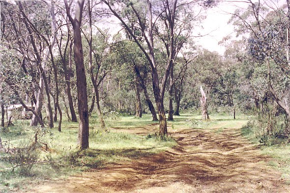
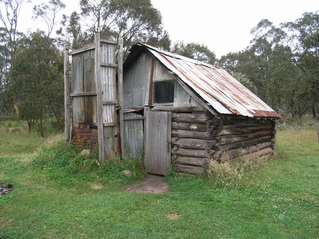
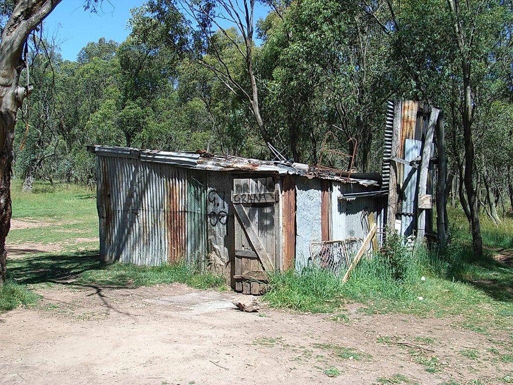
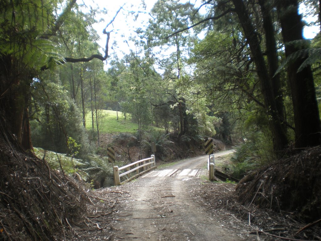
Photos of Moroka
Moroka Weather

Predicción: Broken clouds
Temperatura: 4.9°
Humedad: 88%
Hora actual: 12:00 AM
Amanece: 08:41 PM
Anochece: 07:41 AM
Hiawatha, Australia
Latitude: -38.5275 // Longitude: 146.472
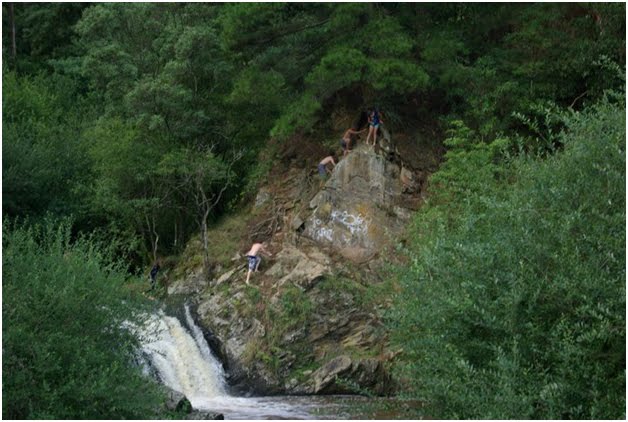
Photos of Hiawatha
Hiawatha Weather

Predicción: Overcast clouds
Temperatura: 11.4°
Humedad: 91%
Hora actual: 12:00 AM
Amanece: 08:44 PM
Anochece: 07:41 AM


