Distance between  Moree and
  Burning Palms
333.82 mi Straight Distance
416.22 mi Driving Distance
7 hours 25 mins Estimated Driving Time
The straight distance between Moree (New South Wales) and Burning Palms (New South Wales) is 333.82 mi, but the driving distance is 416.22 mi.
It takes to go from Moree to Burning Palms.
Driving directions from Moree to Burning Palms
Distance in kilometers
Straight distance: 537.12 km. Route distance: 669.70 km
Moree, Australia
Latitude: -29.4644 // Longitude: 149.842
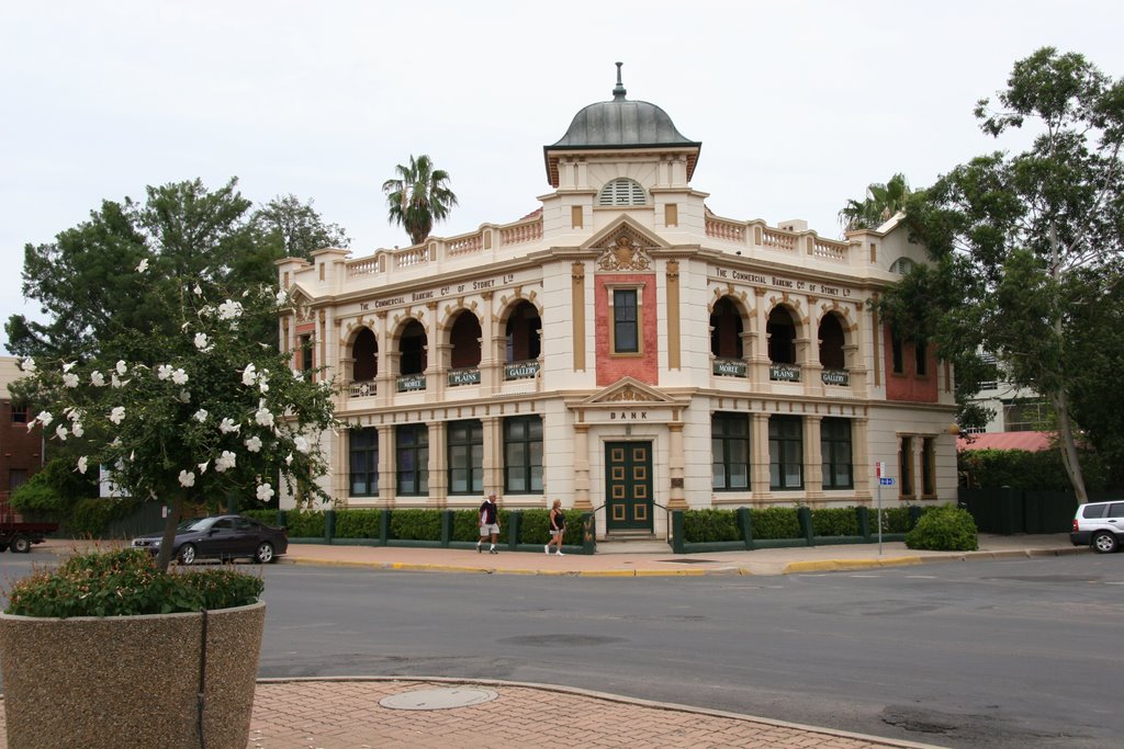
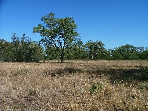
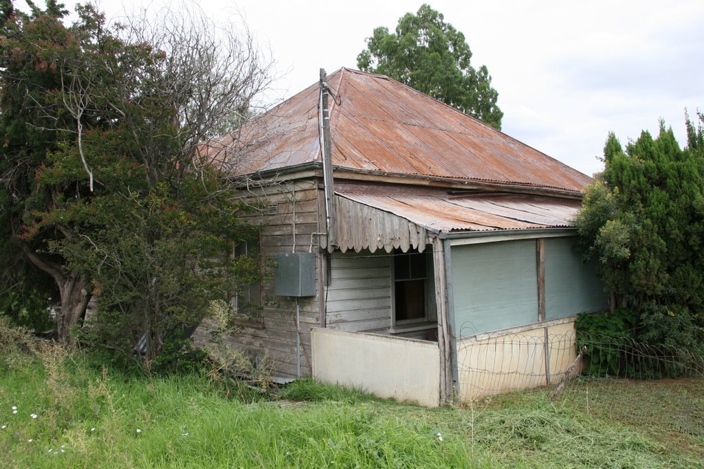
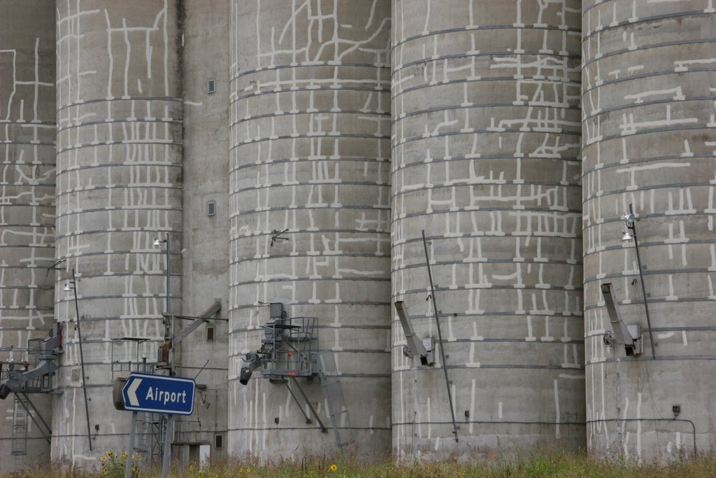
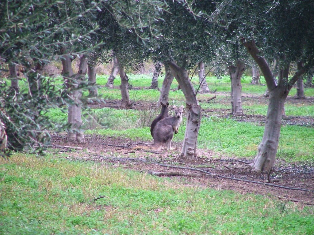
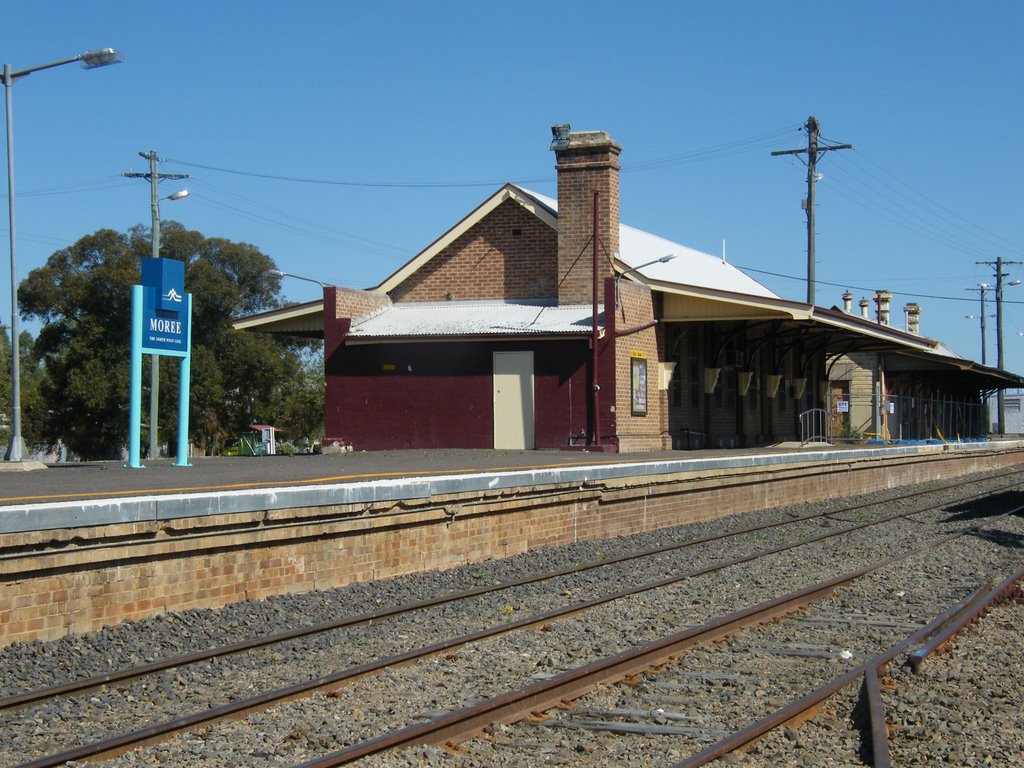
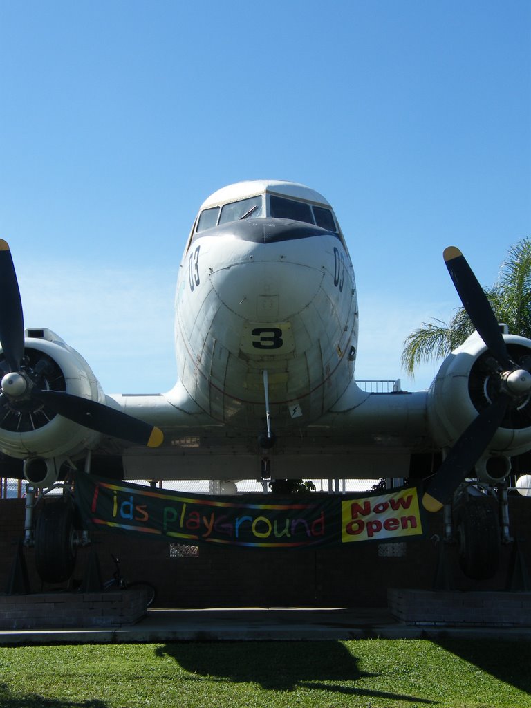
Photos of Moree
Moree Weather

Predicción: Clear sky
Temperatura: 18.6°
Humedad: 43%
Hora actual: 10:12 AM
Amanece: 06:21 AM
Anochece: 05:37 PM
Burning Palms, Australia
Latitude: -34.1868 // Longitude: 151.044
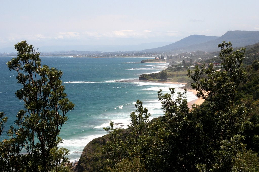
Photos of Burning Palms
Burning Palms Weather

Predicción: Broken clouds
Temperatura: 18.9°
Humedad: 71%
Hora actual: 10:12 AM
Amanece: 06:21 AM
Anochece: 05:27 PM


