Distance between  Moore and
  Pingelly
2,138.42 mi Straight Distance
2,466.13 mi Driving Distance
1 day 15 hours Estimated Driving Time
The straight distance between Moore (Queensland) and Pingelly (Western Australia) is 2,138.42 mi, but the driving distance is 2,466.13 mi.
It takes to go from Moore to Pingelly.
Driving directions from Moore to Pingelly
Distance in kilometers
Straight distance: 3,440.71 km. Route distance: 3,968.00 km
Moore, Australia
Latitude: -26.894 // Longitude: 152.291
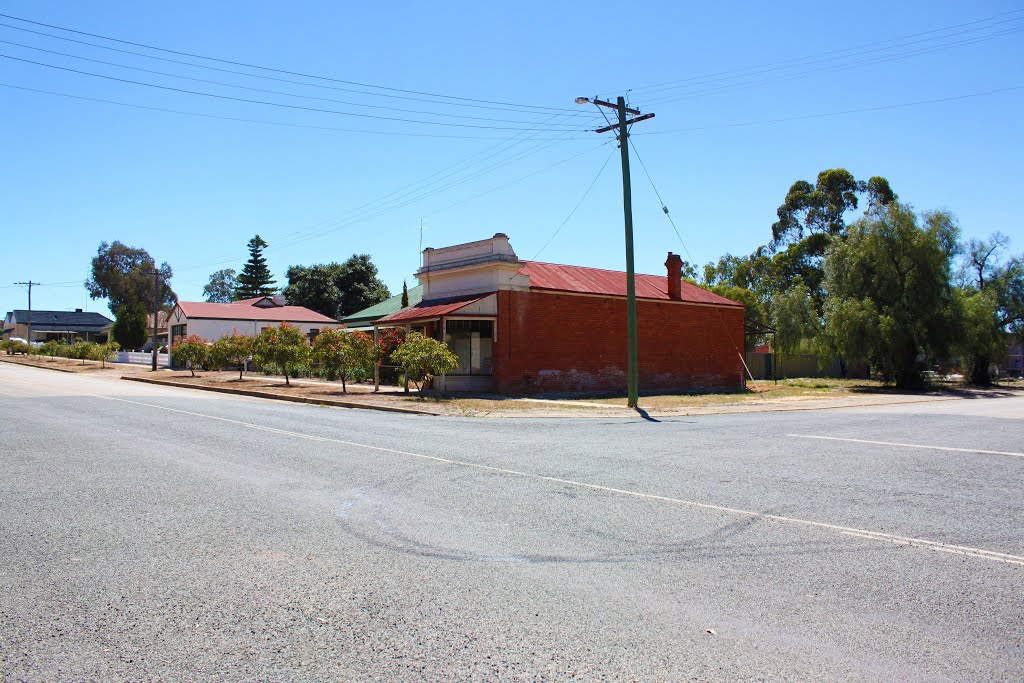
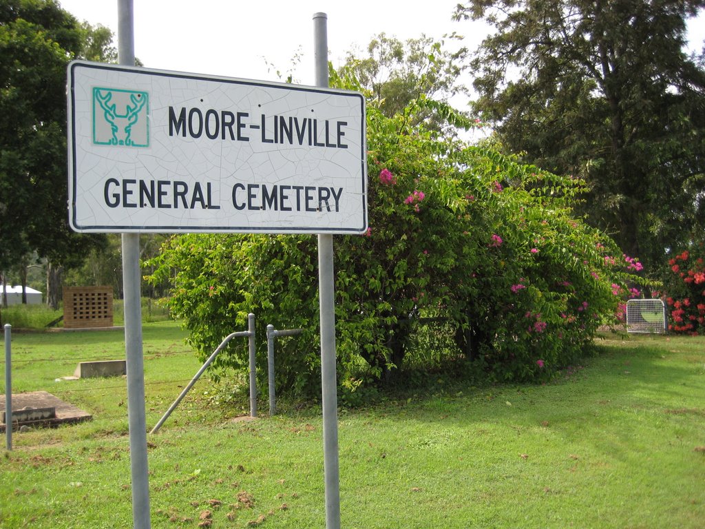
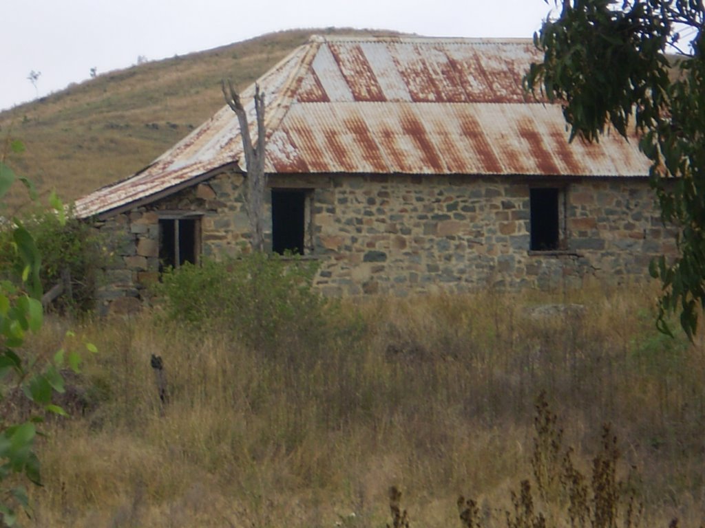
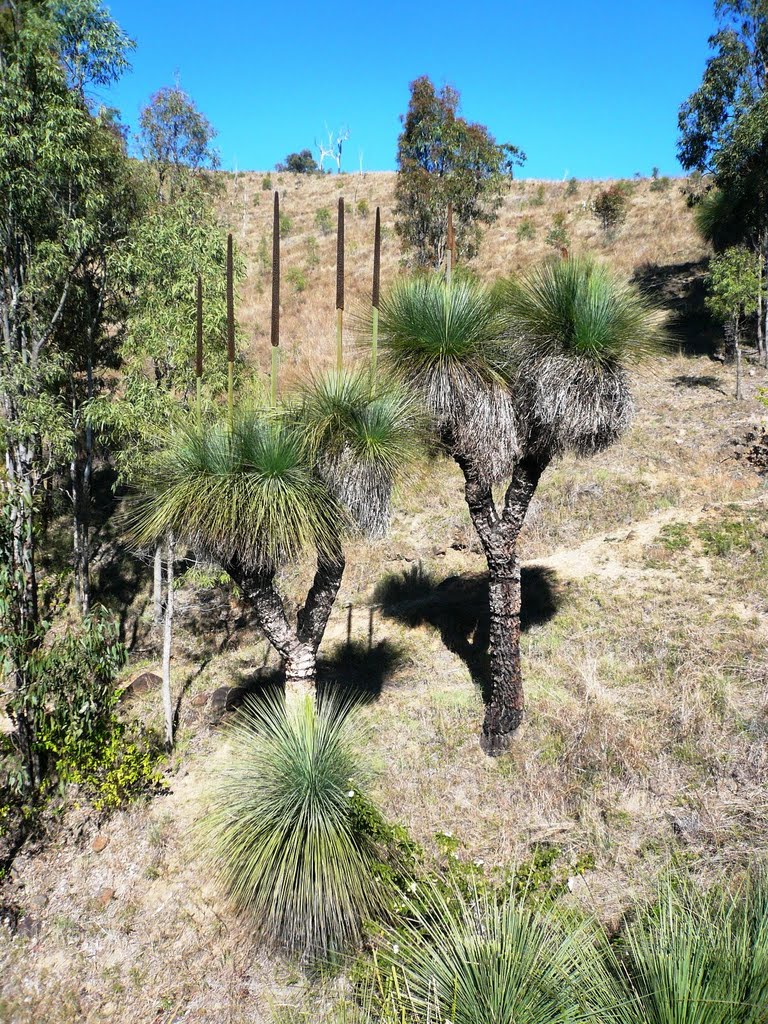
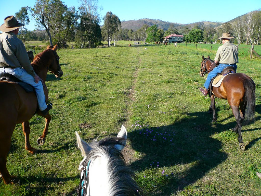
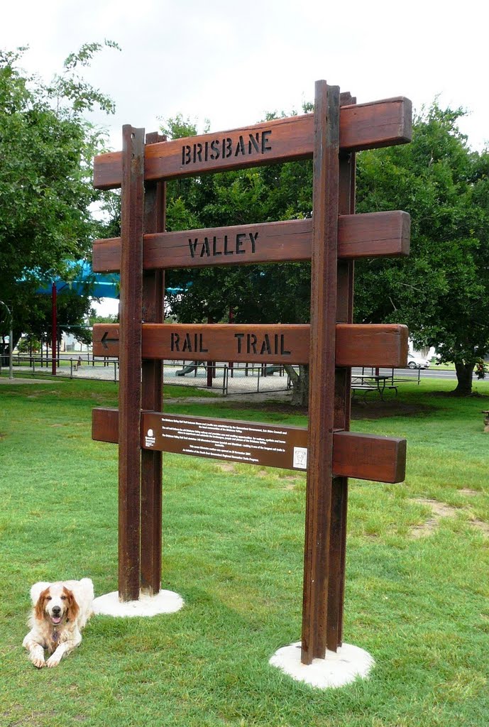
Photos of Moore
Moore Weather

Predicción: Overcast clouds
Temperatura: 22.4°
Humedad: 76%
Hora actual: 12:00 AM
Amanece: 08:09 PM
Anochece: 07:31 AM
Pingelly, Australia
Latitude: -32.5341 // Longitude: 117.084
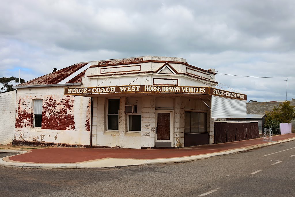
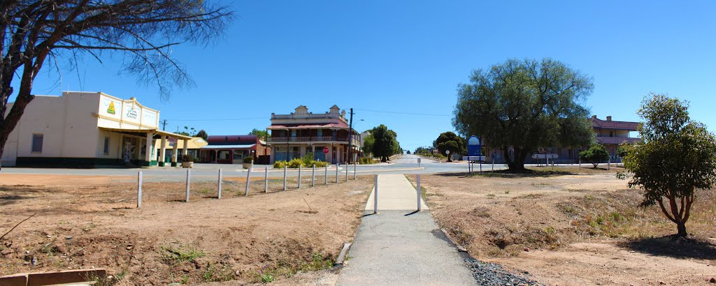
Photos of Pingelly
Pingelly Weather

Predicción: Clear sky
Temperatura: 29.4°
Humedad: 21%
Hora actual: 02:40 PM
Amanece: 06:35 AM
Anochece: 05:46 PM






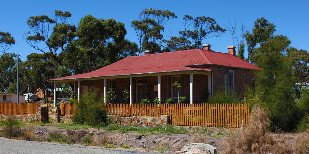
![Old Courthouse, Pingelly [1907] Old Courthouse, Pingelly [1907]](/photos/81038302.jpg)


