Distance between  Moora and
  Leinster
339.60 mi Straight Distance
452.17 mi Driving Distance
9 hours 40 mins Estimated Driving Time
The straight distance between Moora (Western Australia) and Leinster (Western Australia) is 339.60 mi, but the driving distance is 452.17 mi.
It takes 8 hours 50 mins to go from Moora to Leinster.
Driving directions from Moora to Leinster
Distance in kilometers
Straight distance: 546.42 km. Route distance: 727.54 km
Moora, Australia
Latitude: -30.6401 // Longitude: 116.008
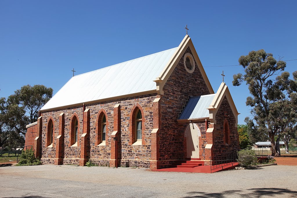
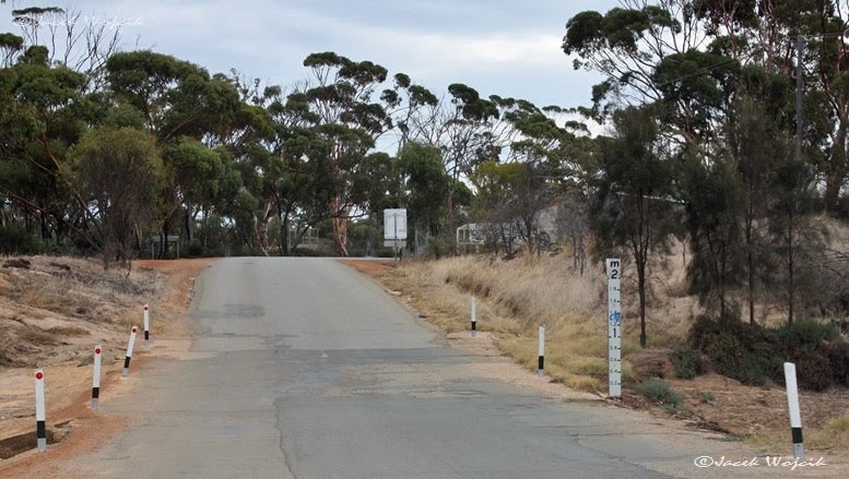
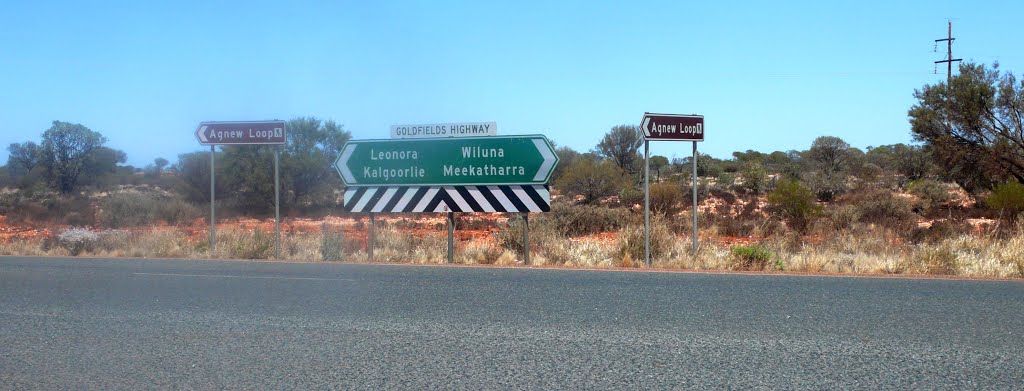
Photos of Moora
Moora Weather

Predicción: Clear sky
Temperatura: 29.8°
Humedad: 22%
Hora actual: 12:16 PM
Amanece: 06:37 AM
Anochece: 05:52 PM
Leinster, Australia
Latitude: -27.9128 // Longitude: 120.697
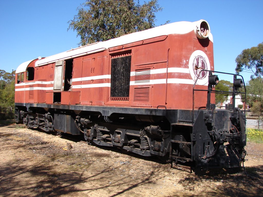
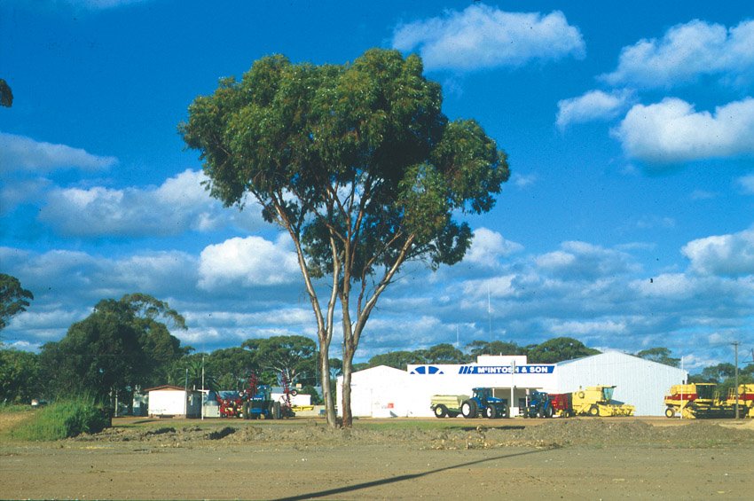
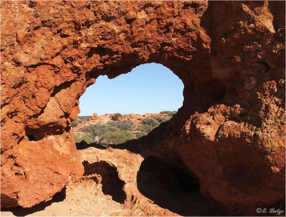
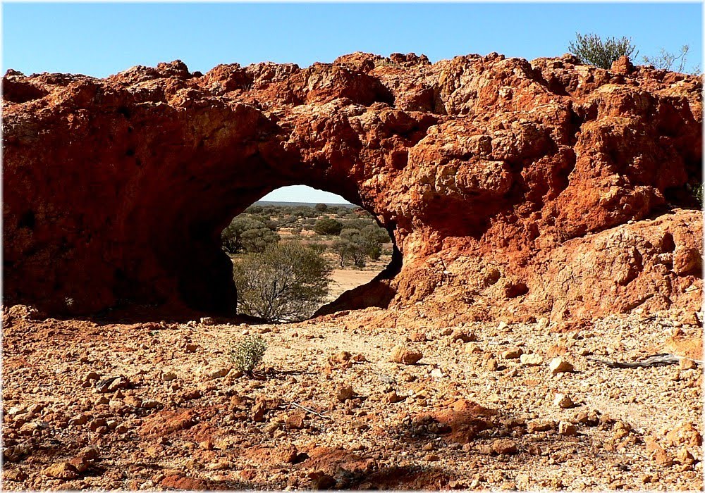
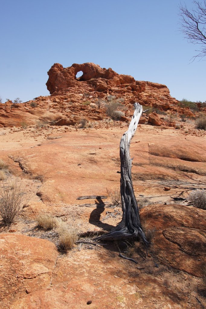
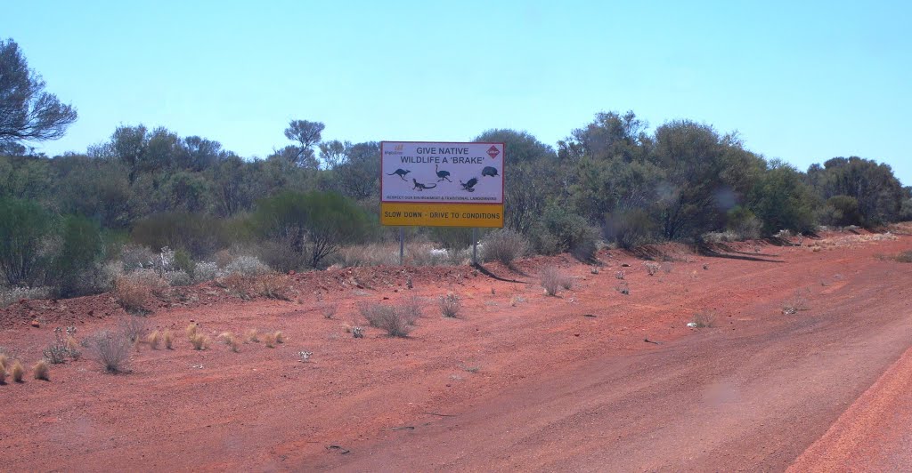
Photos of Leinster
Leinster Weather

Predicción: Clear sky
Temperatura: 24.4°
Humedad: 25%
Hora actual: 12:16 PM
Amanece: 06:16 AM
Anochece: 05:36 PM


