Distance between  Moolerr and
  Yalwal
418.51 mi Straight Distance
567.98 mi Driving Distance
9 hours 49 mins Estimated Driving Time
The straight distance between Moolerr (Victoria) and Yalwal (New South Wales) is 418.51 mi, but the driving distance is 567.98 mi.
It takes to go from Moolerr to Yalwal.
Driving directions from Moolerr to Yalwal
Distance in kilometers
Straight distance: 673.38 km. Route distance: 913.88 km
Moolerr, Australia
Latitude: -36.6385 // Longitude: 143.209
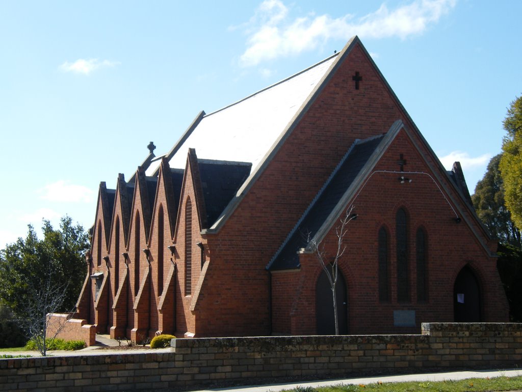
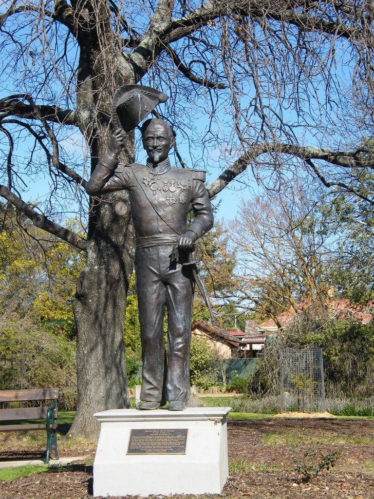
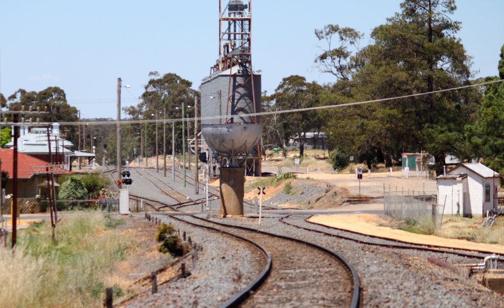
Photos of Moolerr
Moolerr Weather

Predicción: Broken clouds
Temperatura: 16.9°
Humedad: 43%
Hora actual: 12:00 AM
Amanece: 08:55 PM
Anochece: 07:57 AM
Yalwal, Australia
Latitude: -34.9454 // Longitude: 150.381
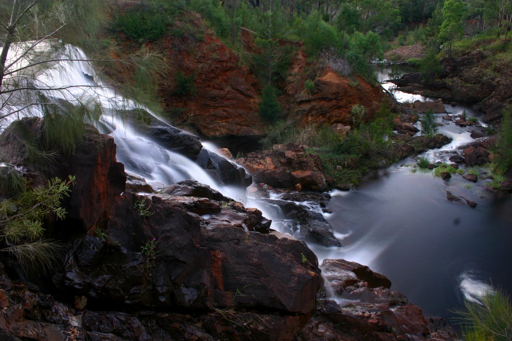
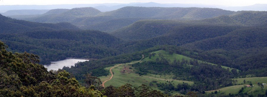
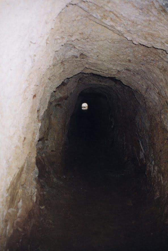
Photos of Yalwal
Yalwal Weather

Predicción: Clear sky
Temperatura: 19.9°
Humedad: 69%
Hora actual: 12:00 AM
Amanece: 08:25 PM
Anochece: 07:30 AM


